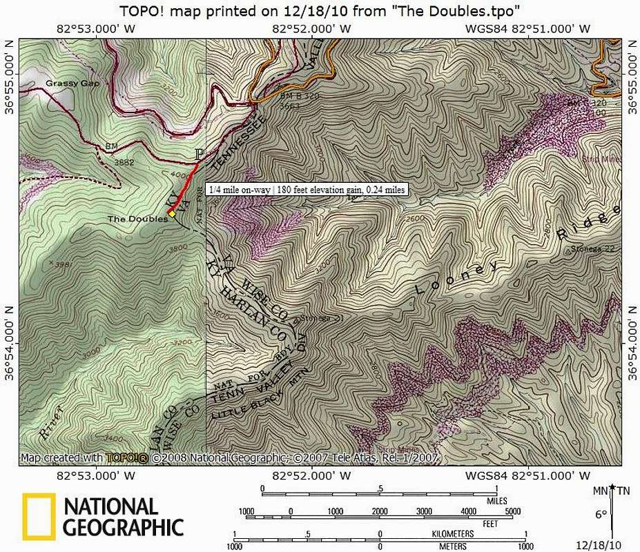
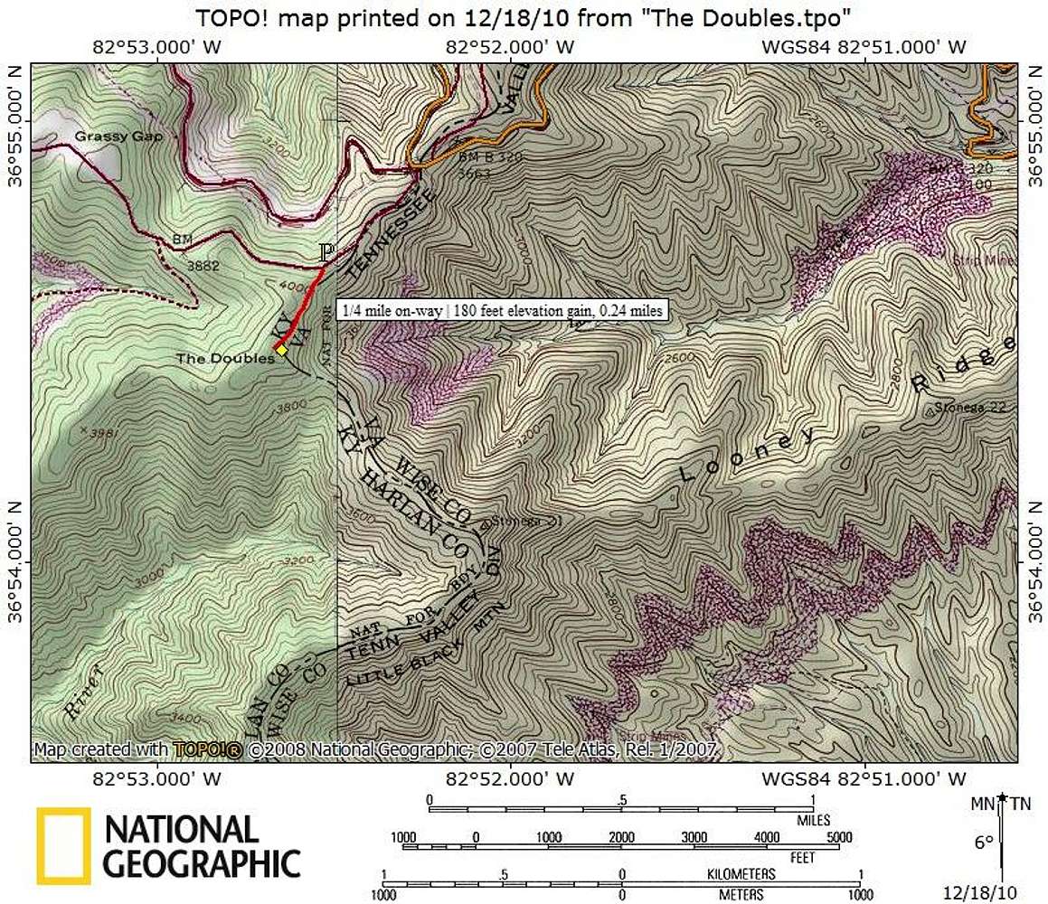
From the parking area, cross the road and travel southwest up an old road bed. The roadbed starts muddy and rutted but becomes faint and leaf covered, eventually becoming just a subtle clearing. The summit, at least in dense leaf cover, is unmarked.
Map designed December 2010.


