-
 5439 Hits
-
 87.31% Score
-
 24 Votes
|
|
Route |
|---|---|
|
|
46.29014°N / 114.27807°W |
|
|
Scrambling |
|
|
Spring, Summer, Fall |
|
|
Most of a day |
|
|
Class 3 |
|
|
Steneous |
|
|
I |
|
|
Overview
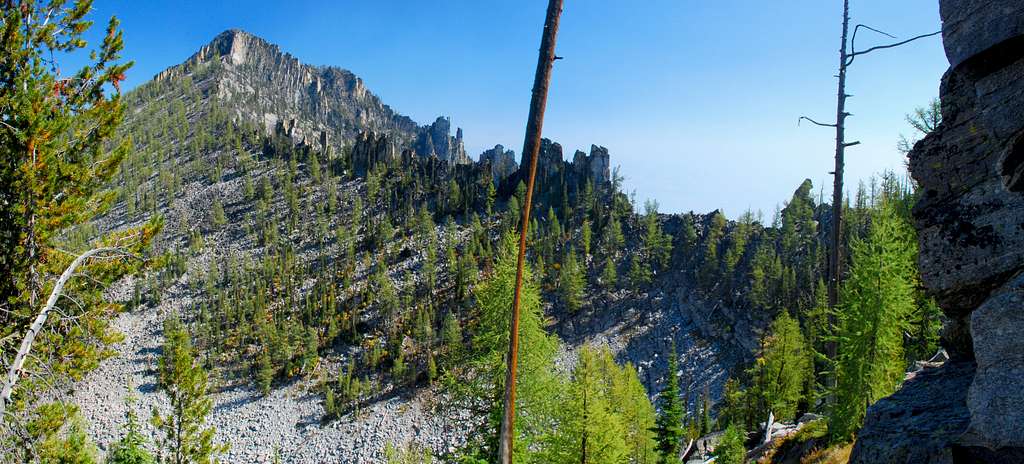
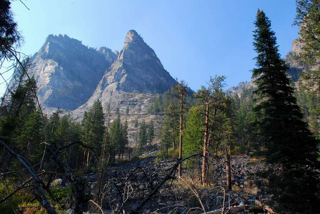
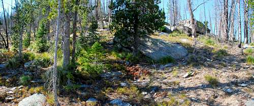
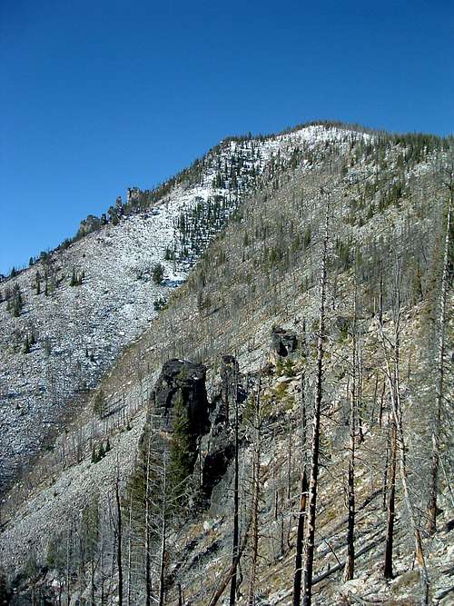
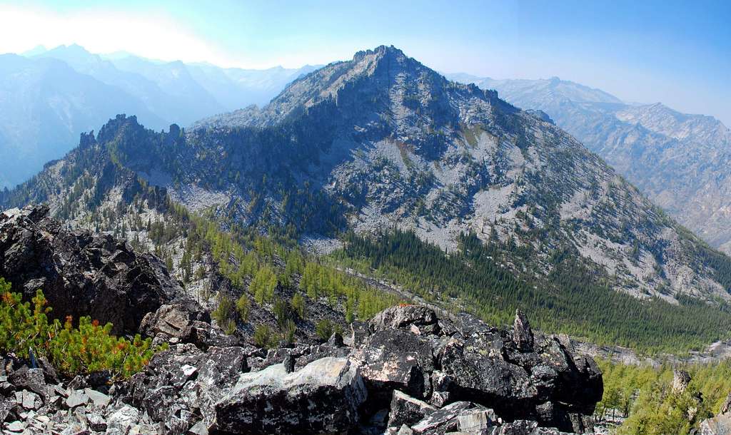
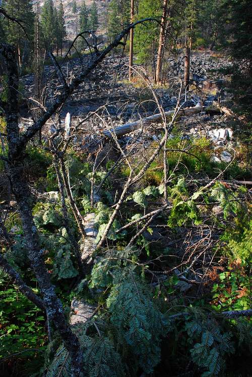
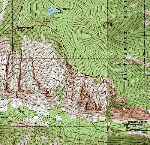
Route Type – Scrambling Class Level – Class 3 Elevation – 8,467’ Gain - 4,376' Distance - 3.1 Miles (one way) Length of time required to complete route – one day Situated just north of Hamilton, Montana, and almost due west of Corvallis, Mill Point is the most-visited high-point on Printz Ridge. The eastern-most summit on the ridge, it’s visible from about anywhere in the Bitterroot Valley between Stevensville and Grantsdale. The two trailheads used to reach it are easily accessible. Printz Ridge is bordered on the south by the Blodgett Creek and the north by the Mill Creek . These two drainages have been used by trappers and hunters to gain access to the Bitterroot Mountains for over a century. For almost that long, the ranchers of the valley have used the creeks and lakes flowing from these long east-west canyons to water their crops and stock. Both Mill (and especially) Blodgett Canyons contain many exotic rock formations which have attracted rock climbers ever since the sport became popular. Many of the south-facing spires in both canyons have many well-established routes which are attempted almost year-round. Blodgett Canyon is home to three of the most popular – Flathead Buttress, Shoshone Spire, and the Nez Perce Spire. This climbers’ route to the summit of Mill Point begins just east of, and at the base of, the Prow. The "standard" route to the summit of Mill Point from the Blodgett Creek Trailhead is Class 2, and, if the truth be told, one hell-of-a slog. The lower sections of the climb are through a burn which is full of deadfall. It’s a steep climb which I found almost tedious in places, probably because of the deadfall and invasive weeds.
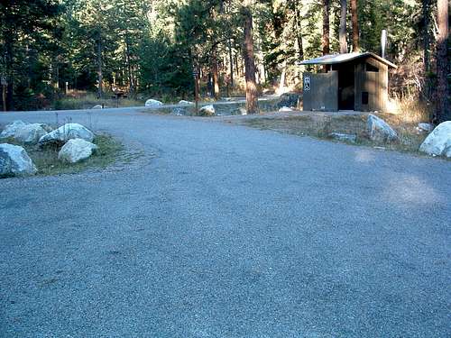
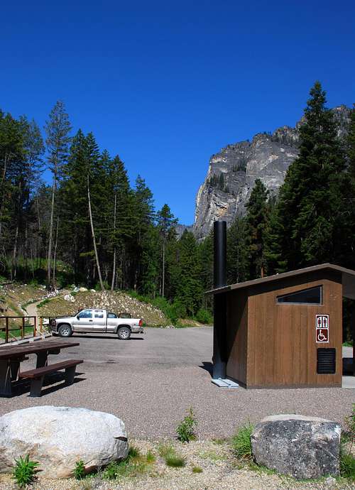
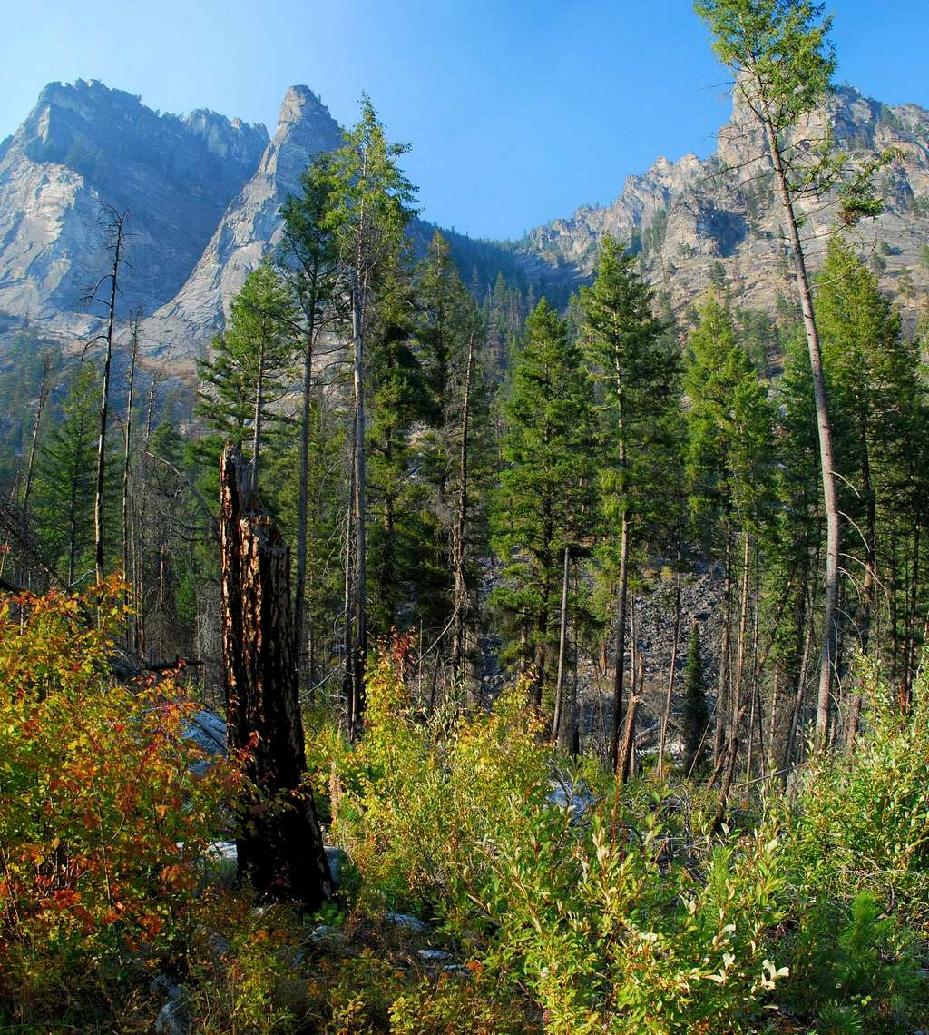
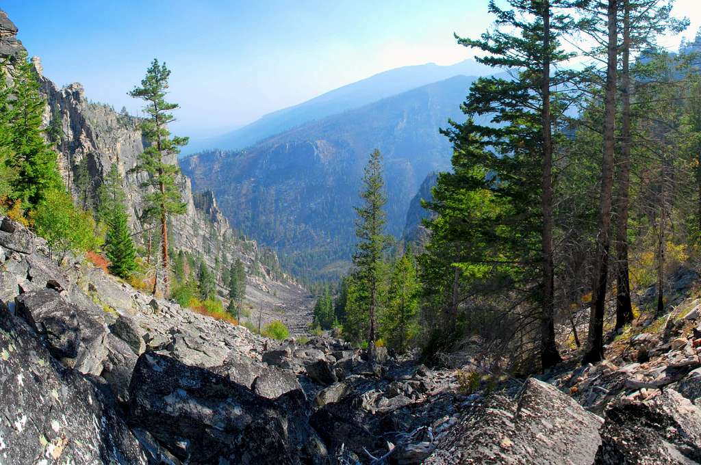
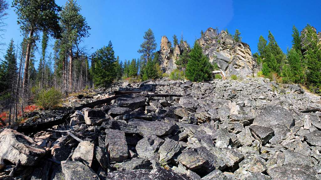
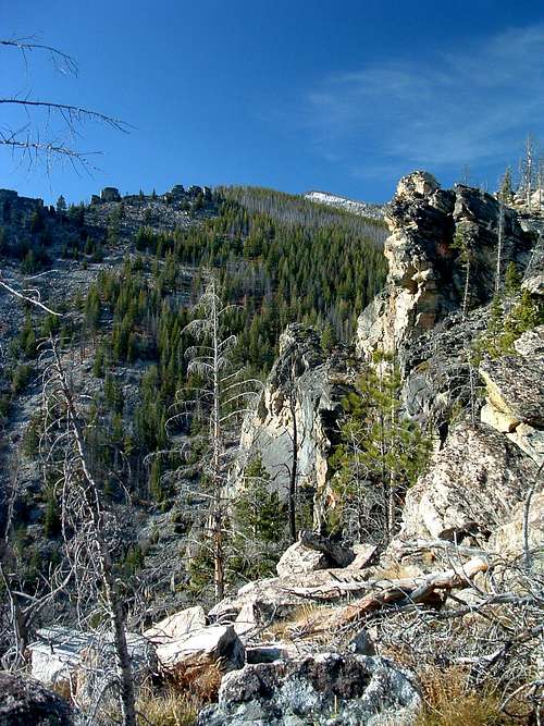
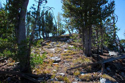
Getting ThereBlodgett Creek TrailheadIn Hamilton, Mt, drive west on Main Street (out of the downtown area) until you reach the bridge over the Bitterroot River. Just past (west of) the bridge, turn right (north) onto Ricketts Road and drive for .5 mile. At the intersection (3-way stop), turn left (west) onto Blodgett Camp Road. Stay right at the intersection with FS 735 in about 2.5 miles. Continue for about 1.5 miles to the combined Blodgett Creek Campground and Trailhead. On your left is parking for a couple of dozen vehicles, stock handling facilities, and an outhouse. This is the trailhead for Blodgett Creek and Canyon. If you continue along the road (past the first parking area), you will cross a bridge and come to a second parking area on your right. Going past the parking lot on the road takes you to the Blodgett Creek Campground. Route DescriptionFrom the trailhead, travel west on the Blodgett Creek Trail. A heavily-used path by hikers, fishermen, and stock animals, this trail is also used by climbers to reach a few of the Bitterroot’s truly grand climbing spires. In fact, the point where you leave the trail is just before you reach the first of those, The Prow, only .4 mile from the trailhead. The trail proceeds through a fairly open wood (mainly because it’s seen fire in the not-too-distant past) so you shouldn’t have any trouble spotting the spire to your right (north) on the other side of Blodgett Creek. Once you see the spire, keep on the lookout for a good path across the creek and to the base of the avalanche chute immediately right (east) of the spire. There is no bridge at this point, but after the spring runoff, the flow in the creek should be low enough that you can find boulders or fallen trees to get you across while remaining dry. Note: If the water flow is high in Blodgett Creek, your best bet is to begin your hike to the base of the chute on the north side of the creek from the Blodgett Canyon Campground. It will require more bushwhacking, but you’ll stay dry. Climbers’ Route – The Prow to Summit Drop downhill from the trail and bushwhack the short distance to the creek. Cross the creek and hike the 100 yards or so to the talus and boulders at the base of the chute. Note: The undergrowth is not very thick in the area below the chute, so the bushwhacking is not too bad. Almost the entire chute is filled with a mix of stable talus and boulders. No particular line is better than another, so pick a line and begin climbing due north. There are some pretty impressive rock formations along both sides of the chute. When you periodically stop to catch your breath, take a moment to check them out. And don’t forget to look back the way you came and study the upper side of The Prow. You’ll be very near the top of the chute before you run out of rock and have to proceed on a mix of scree and patchy grass. When you reach this spot, turn to the northwest and climb through the widely-spaces trees (and out of the chute) to the crest of the ridge around 6,300’ (46.27993 N / 114.25283 W). You may be interested to know that the climb in the chute, though less than a mile long, gains about 2,000’ in elevation. Once you exit the chute, turn almost directly west and work your way along the crest of the ridge. From this point on you should stay close to the ridge-crest (on your left) to keep the going as easy as possible. If you go too far right, you’ll end up in a thickly forested area full of deadfall. The added advantage to staying left is that the views back Blodgett Canyon are superb. The ridge-crest slowly turns to the northwest and reaches Point 7172 (46.28209 N / 114.26223 W) before turning to the north-northwest. Continue along that line to Point 7648 (46.28971 N / 114.26737 W), then turn northwest and stay along the crest of the ridge, which, by now, is more rounded. At about 7,800’ (46.29088 N / 114.27097 W) you will pass near a few nice rounded outcrops of granite above Tag Alder Lake. For a look at the lake, walk a few feet northeast and peer over the edge. Continue through the open woods of Whitebark Pine and Larch by turning west and following the broad crest of the ridge to the summit, a little over 600’ above. Essential GearBut, if you follow this route during winter conditions, you should carry an ice axe and crampons at the very least. Additionally, you should know how to conduct yourself on snow and in areas where avalanches could occur. The climber’s portion of this route is directly up an avalanche chute. Although I saw no sign of recent avalanche activity, it is prone to avalanche, so be aware. And be prepared! When To GoThis route is straight up a south-facing avalanche chute. Granted, there hasn't been a slide recently, but that doesn't mean it couldn't happen to you. Be sure you know what you're doing if you insist on using this route under winter conditions.The best time to ascend Mill Point using this route is from late spring through fall when no snow is on the ground or in the weather forecast. Route Statistics |


