
Viewing: 1-2 of 2

Gangolf Haub - Apr 13, 2005 5:18 pm - Hasn't voted
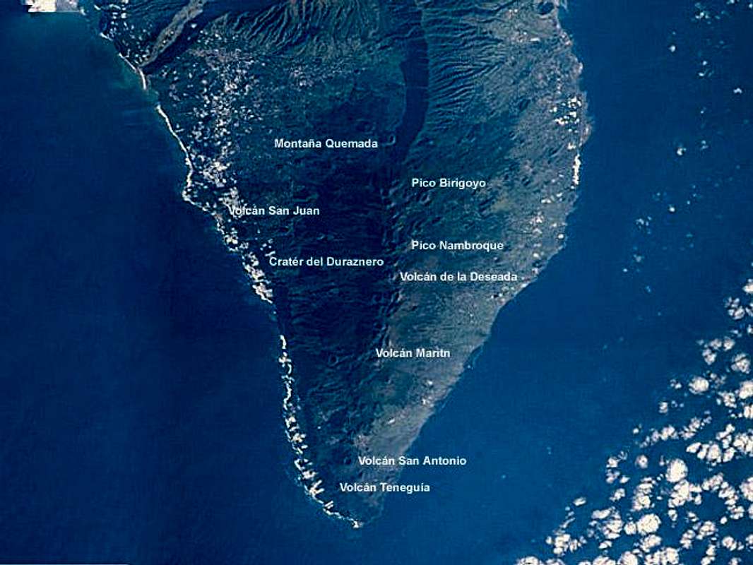
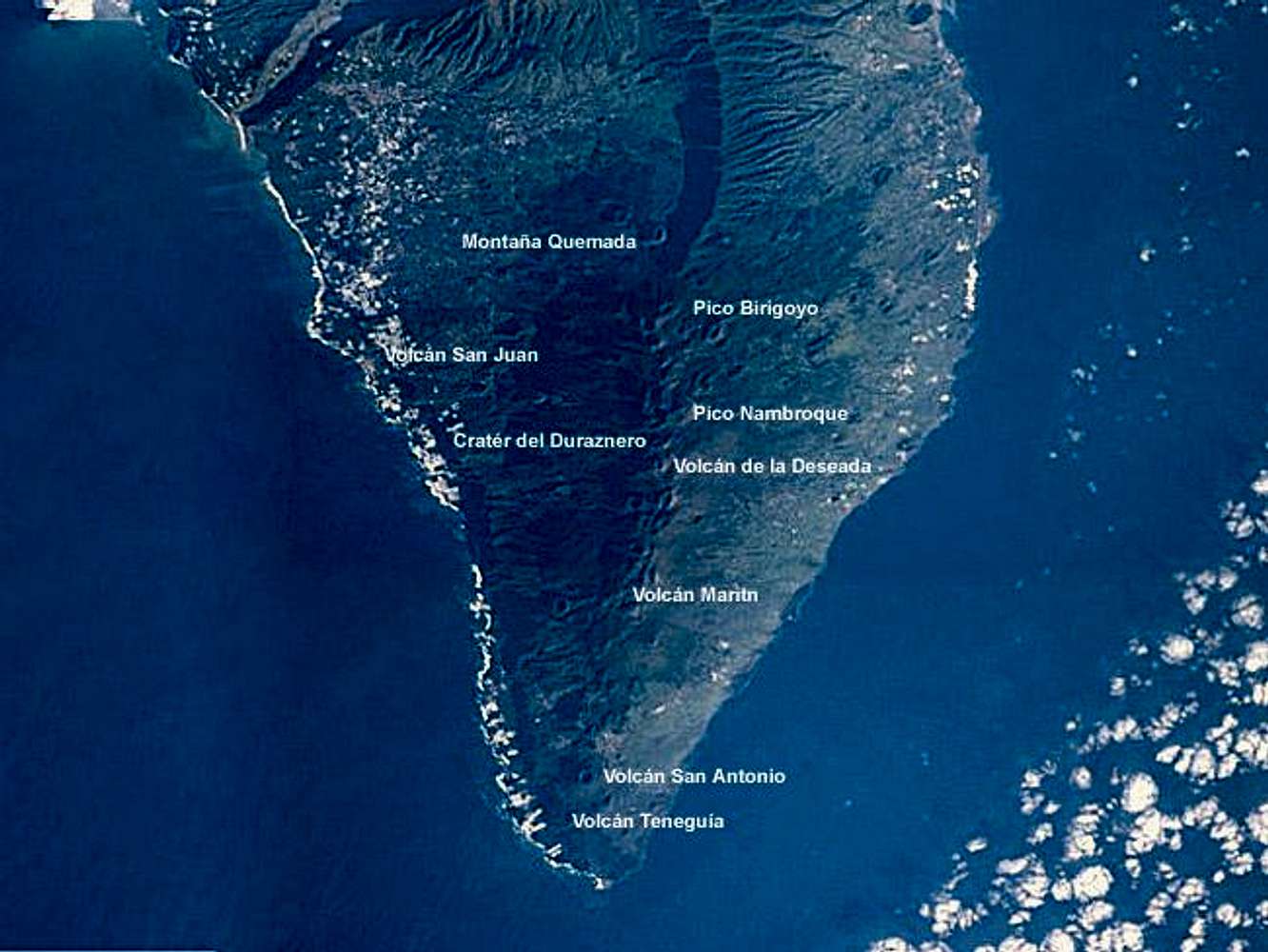
Re: How do you...These Nasa photos are public domain and can be used, if you put in the photo credit. They even have a text box on each page out of which you can copy the credit.
On the other hand I prefer to link the pictures from the original sites which wasn't possible here because of the annotations.
Gangolf Haub - Apr 14, 2005 2:30 am - Hasn't voted
Re: How do you...You can find the pictures here. I have had a look at picts from the Alps but there you rarely can distinguish the mountains. Island pfotos are much easier to read.
Viewing: 1-2 of 2


Comments
Post a Comment