
-
 8991 Hits
-
 0% Score
-
 0 Votes
|
|
Route |
|---|---|
|
|
44.28600°N / 71.316°W |
|
|
Hike (Class 1-2) |
|
|
Half a day |
|
|
Walk-up |
|
|
Approach
Follow the directions in the "Getting There" section of the main page.
Route Description
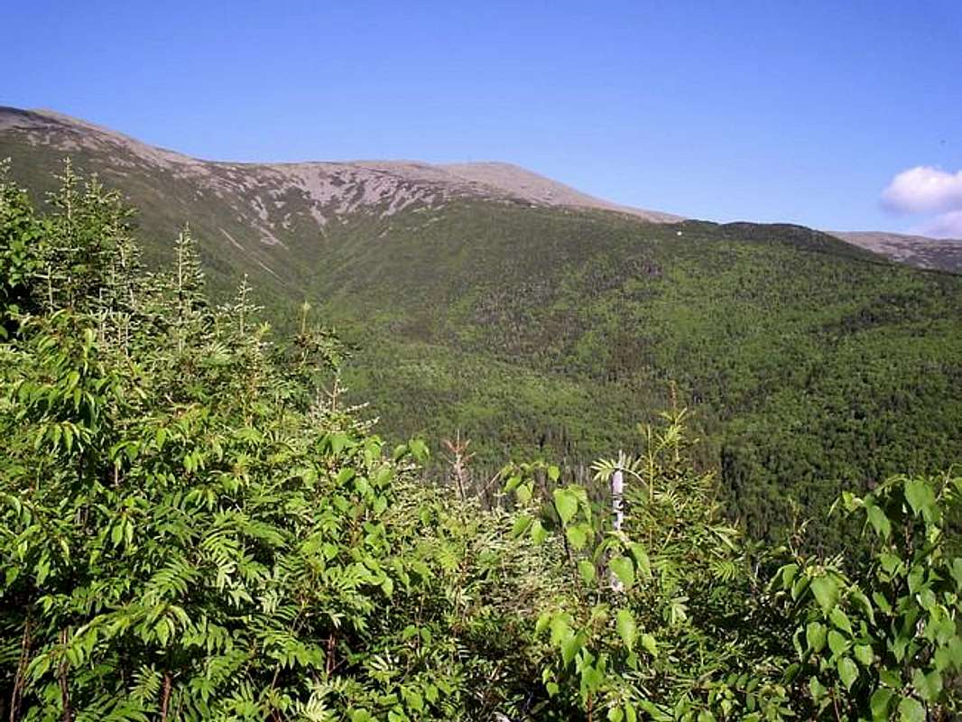
This trail starts off from across the parking area at the trailhead for the Ammonoosuc Ravine Trail. The trail continues on a gradual slope up above the treeline where you'll start running into some scree like slopes. The trail is class 1 with minimal use of the hands until you reach the Gulfside Trail junction at 3.7 miles. Following the Gulfside Trail away from Mount Washington, you'll head up Mt. Clay's southern ridge line with a few class 2 sections. The total roundtrip distance using this route would be about eight miles in about seven hours. The views from the top are wonderful extending into the Great Gulf, the northern peaks, Mt. Washington and the Southern Presidentials.
 |  |
Essential Gear
Comfortable boots, food/water, camera and inclement weather gear.
Miscellaneous Info
If you have information about this route that doesn't pertain to any of the other sections, please add it here.