Toggle navigation
Mountains
Routes
Images
Trip Reports
Forum
What's New
People
Areas & Ranges
Articles
Trailheads
Canyons
Huts & Campgrounds
Albums
Logistical Centers
Fact Sheets
Lists
Custom Objects
Gear
Plans & Partners
WELCOME TO SUMMITPOST
SIGN IN
REGISTER
Mount Arvon
Additional Parents
Image
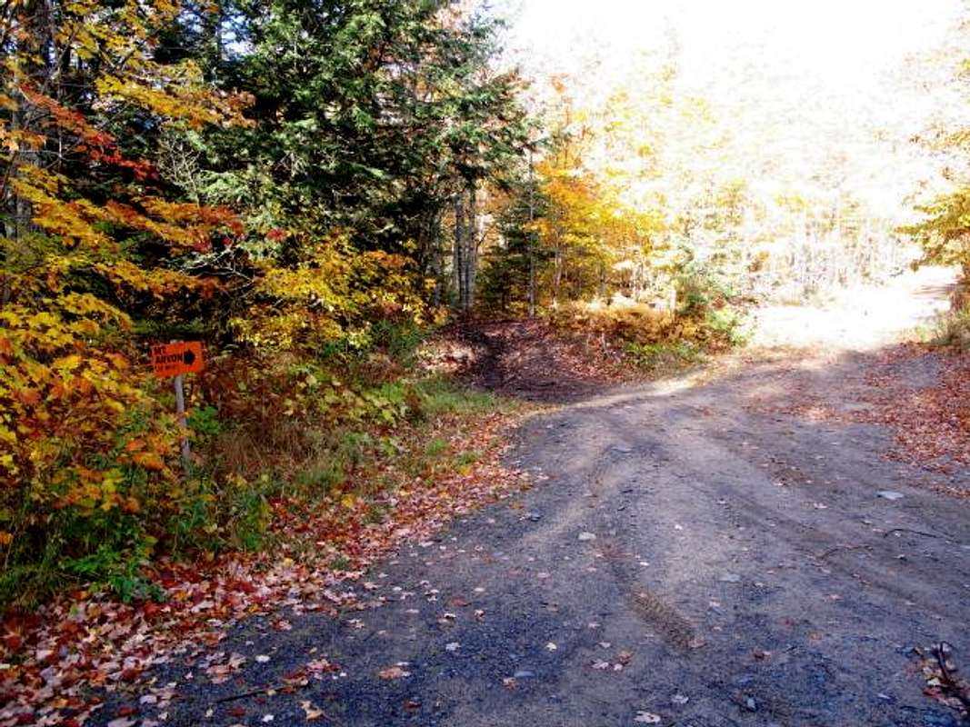
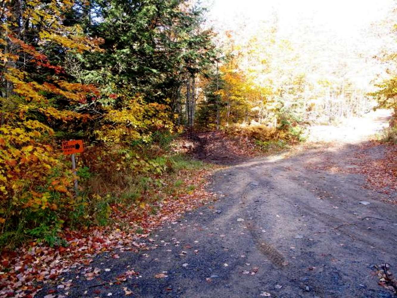
Mount Arvon -- Signage (2010)
View High-Resolution Image
Mount Arvon -- Signage (2010)
While the approach road is signed, you'll really need a map to negotiate the entire route from L'Anse to the summit of Mount Arvon, the highest natural elevation in Michigan (01 October 2010).
« PREV
NEXT »
milanite
on
Aug 17, 2011 6:47 pm
Comments & voting
Other parents
Lat/Lon:
46.75582°N / 88.15654°W
Image ID:
738437
1739 Hits
0
% Score
0
Votes
Log in to vote
Comments
No comments posted yet.
to post!
Don't have an account?
Mount Arvon
(Mountain/Rock)
« PREV
Viewing
#33 of 38
GALLERY
NEXT »
milanite's Image Gallery
« PREV
Viewing
#79 of 91
GALLERY
NEXT »
×
You need to login in order to vote!
User Name
Password
Remember me
Forgot your password?
Log me out when I close my browser.
Keep me logged in all the time.
sign in as a user
Don't have an account?
Register now for FREE
Rating available
Suggested routes for you
People who climb the same things as you
Comments Available
Create Albums
Register Here


