Trip Report: Skinner Peak
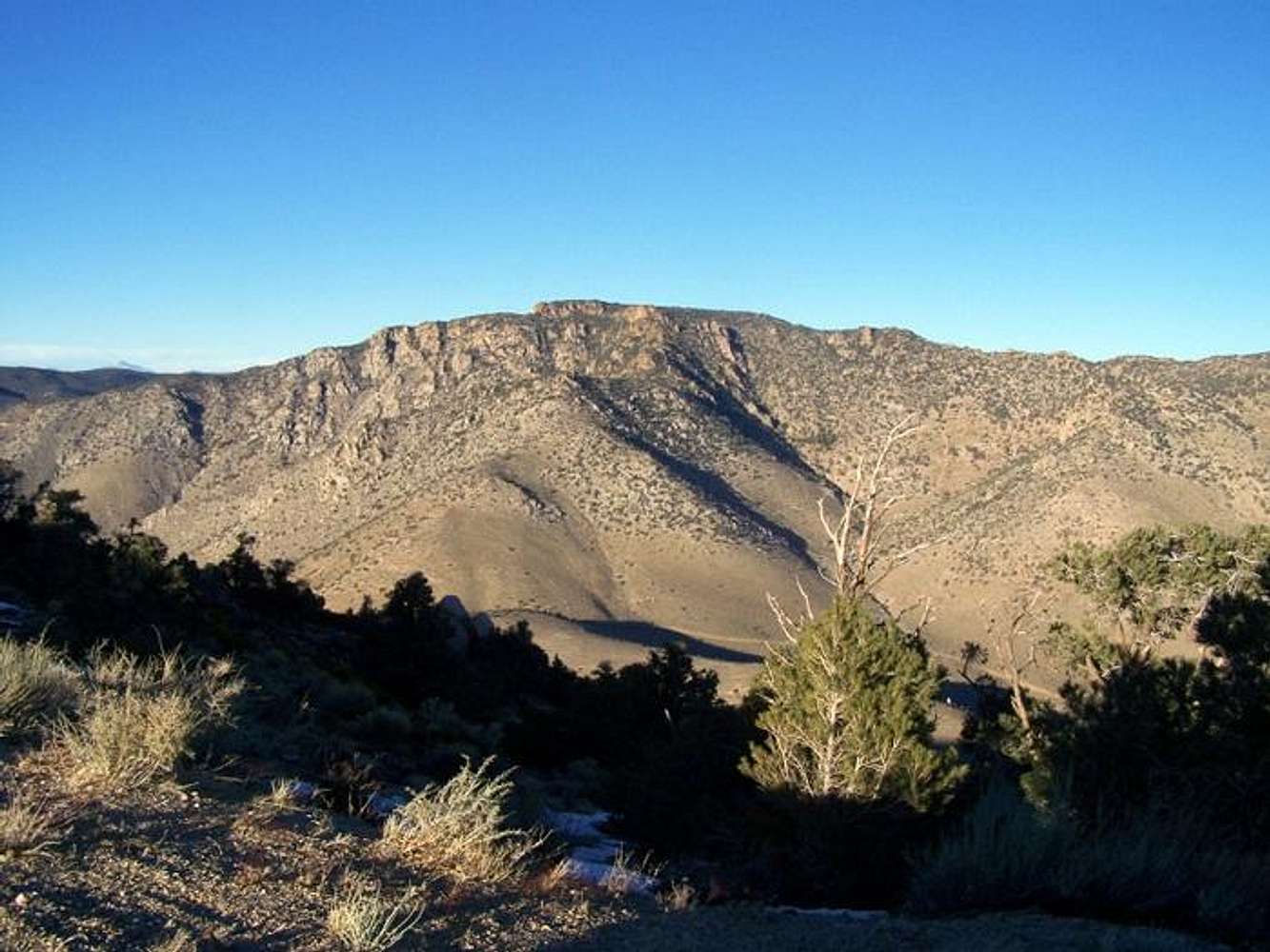
The trailhead for Skinner Peak (7120’) is 5.6 miles up road SC120 which leads to Bird Spring Pass, and then onward. There is a nice trailhead there where the Pacific Crest Trail (PCT) intersects the road. This hike can be completed by taking the PCT most of the way, but I decided to make a loop trip out of it. I followed a use trail up the ridgeline for the first 1000 feet or so. After that I ran into some advanced class 2 and some class 3 as the ridgeline became rocky. I navigated a route up as best I could, and located the summit after a total elevation gain of 1765’. I was able to locate the geologic survey marker, but I did not find the register.
After hanging out at the peak for a while enjoying the breeze and the view I headed back East toward the PCT which I located and then followed back down. The PCT in this section is on a very steep mountain, but there are plenty of switchbacks to ease the grade. The view of the desert was amazing, and at the bottom I saw a large cache (water supply) placed there from ‘trail angels’ for the hikers that will come through for the yearly PCT hike from Mexico to Canada. The total mileage was about 7 miles.
Skinner Peak Photos


