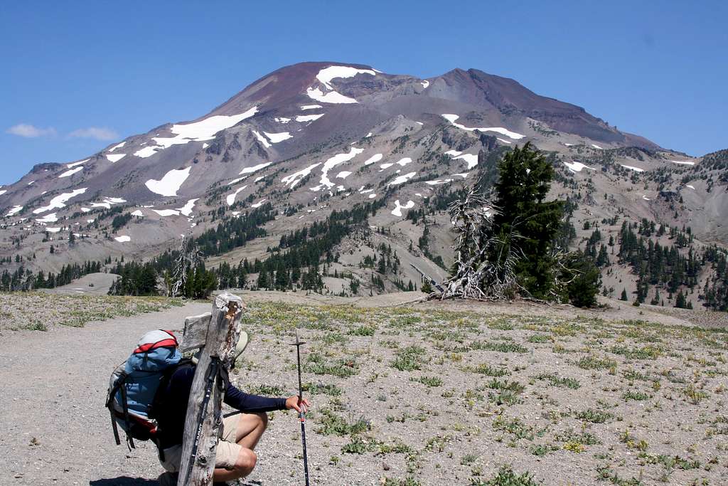
South Ridge route as seen from the Devils Lake trail just above Moraine Lake. At full size, the trail is visible in the photo:
Behind the foreground tree is a valley (containing Moraine Lake); the trail skirts this valley, following the main line of trees (center of photograph, trending right).
At about the elevation of the first snowfields, the trail begins angling away from the rocky ridge above, following a line that is vertical in the photograph, to the base of the pale grey cindercone.
After detouring around the cindercone on the right, it turns left to gain the sharp ridge above. From there it's a hop skip and jump to the foot of Lewis Glacier; the trail stays within spitting distance of climber's left side of Lewis Glacier until near the top of the volcano.
