|
|
Route |
|---|---|
|
|
43.89580°N / 114.4017°W |
|
|
Scramble |
|
|
Most of a day |
|
|
Class III |
|
|
Approach
From Ketchum, Idaho, travel north on Idaho 75 for 7 miles until coming to the turnoff for the Sawtooth National Recreation Headquarters on the right.
Make the turnoff and continue past the odd shaped building on a paved road. The road quickly turns into an improved dirt road. Drive past Murdock Creek, numerous campgrounds and camping areas, and a camp until reaching the end of the road in a large trailhead area after about 5 miles. The last 1 mile of the road is mildly rough but passable for passenger vehicles.
From the parking area, two prominent trails lead two different directions, be sure and take the North Fork Trailhead.
Route Description
Route Stats
The North Fork Trail begins as a relatively flat trail meandering through the North Fork of the Big Wood River Valley.
After 1.5 miles, the West Pass trail veers off to the right in a small meadow. This junction is only marked with a small rock cairn so keep your eyes open.
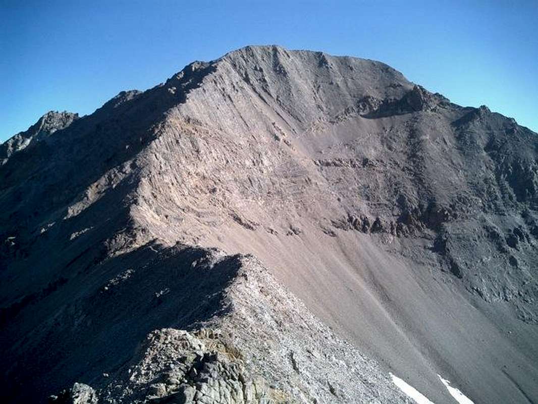
Follow this moderately steep trail until about the 9,000 foot mark. At the 9,000' contour, bushwack across the valley and head for the saddle between Kent and Pt. 11,000. The scramble to the saddle involved some tiring scree and talus climbing but is justified with an awe-inspiring view of Kent Peak once at the top.

Turn due north up the south ridge. The large summit block Kent Peak involves some tricky moves and difficult route finding problems on class three terrain. be sure not to venture to far from the main ridge because of the unstable nature of the terrain. The summit will offer rewarding views of the Boulders and Ketchum/Sun Valley area.
Essential Gear
Only good route finding skills through the last few hundred feet of the summit block.
This route is not suggested for a snow ascent.
Miscellaneous Info
If you have information about this route that doesn't pertain to any of the other sections, please add it here.

