Toggle navigation
Mountains
Routes
Images
Trip Reports
Forum
What's New
People
Areas & Ranges
Articles
Trailheads
Canyons
Huts & Campgrounds
Albums
Logistical Centers
Fact Sheets
Lists
Custom Objects
Gear
Plans & Partners
WELCOME TO SUMMITPOST
SIGN IN
REGISTER
Squaw Benchmark Ridge Loop
Additional Parents
Image
Squaw Benchmark Ridge
View High-Resolution Image
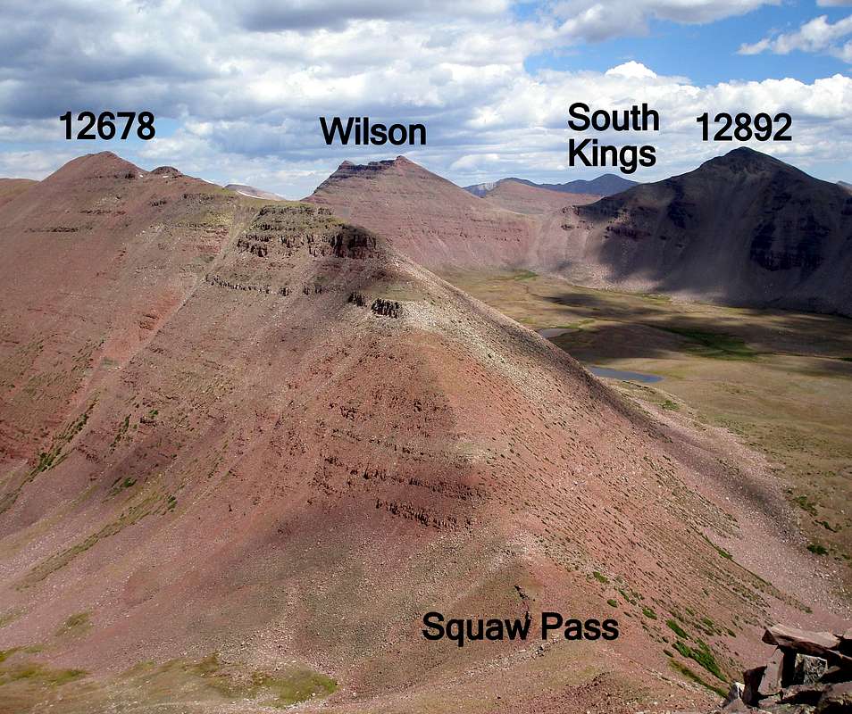
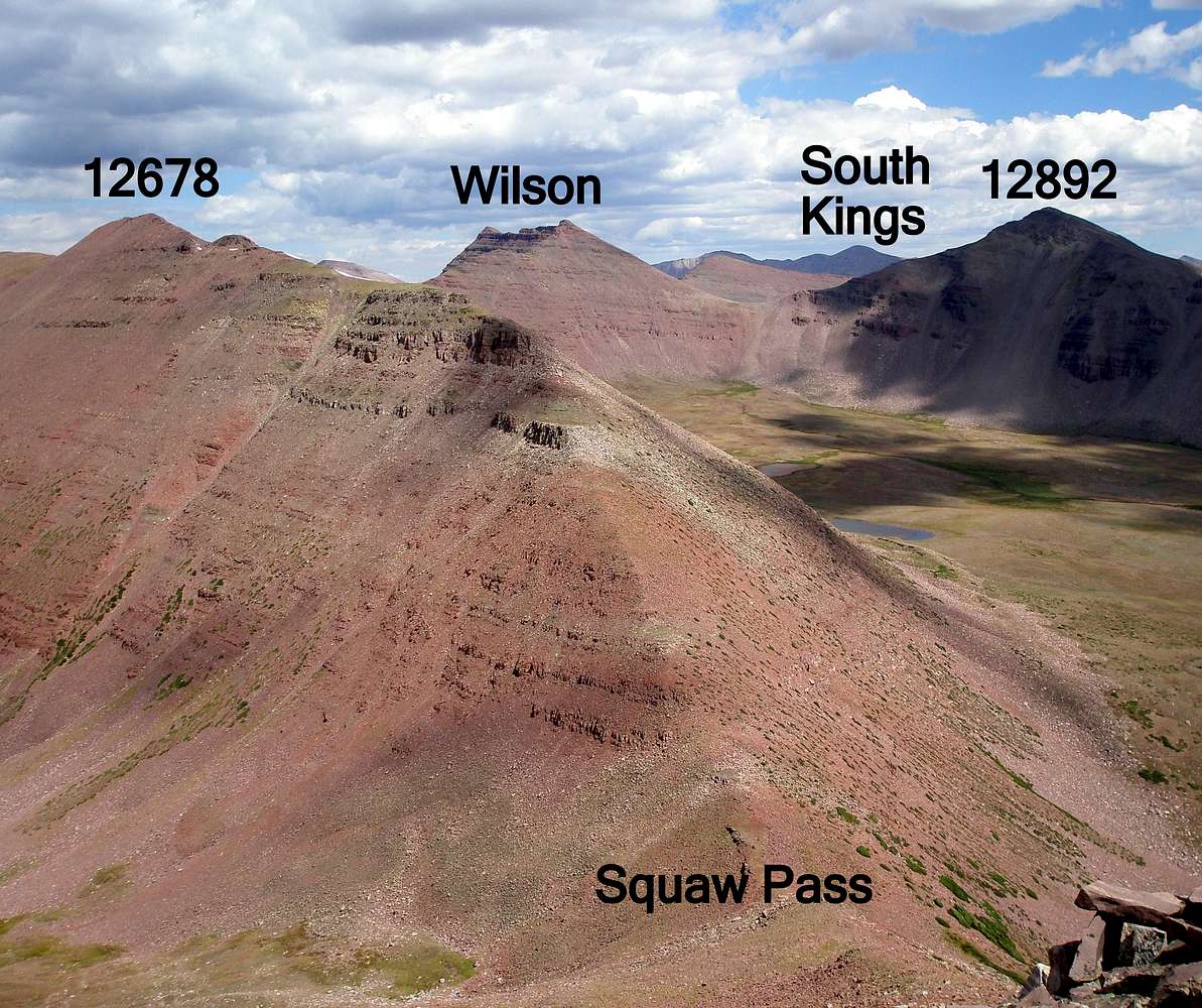
Squaw Benchmark Ridge
The southern end of the Squaw Benchmark Ridge from Point 12678 to Squaw Pass is on the left. East Wilson is seen through the saddle of Wilson and 12892. Kings Peak is in shadows behind it. August-28-2009
« PREV
NEXT »
ZeeJay
on
Oct 30, 2009 12:08 pm
Comments & voting
Other parents
Lat/Lon:
40.77318°N / 110.49313°W
Image Type(s):
Hiking
Image ID:
568885
927 Hits
78.27
% Score
9
Votes
Log in to vote
Comments
No comments posted yet.
to post!
Don't have an account?
Squaw Benchmark Ridge Loop
(Route)
« PREV
Viewing
#42 of 56
GALLERY
NEXT »
ZeeJay's Image Gallery
« PREV
Viewing
#750 of 1388
GALLERY
NEXT »
×
You need to login in order to vote!
User Name
Password
Remember me
Forgot your password?
Log me out when I close my browser.
Keep me logged in all the time.
sign in as a user
Don't have an account?
Register now for FREE
Rating available
Suggested routes for you
People who climb the same things as you
Comments Available
Create Albums
Register Here


