

douhowfen - Jan 14, 2003 1:12 pm - Hasn't voted
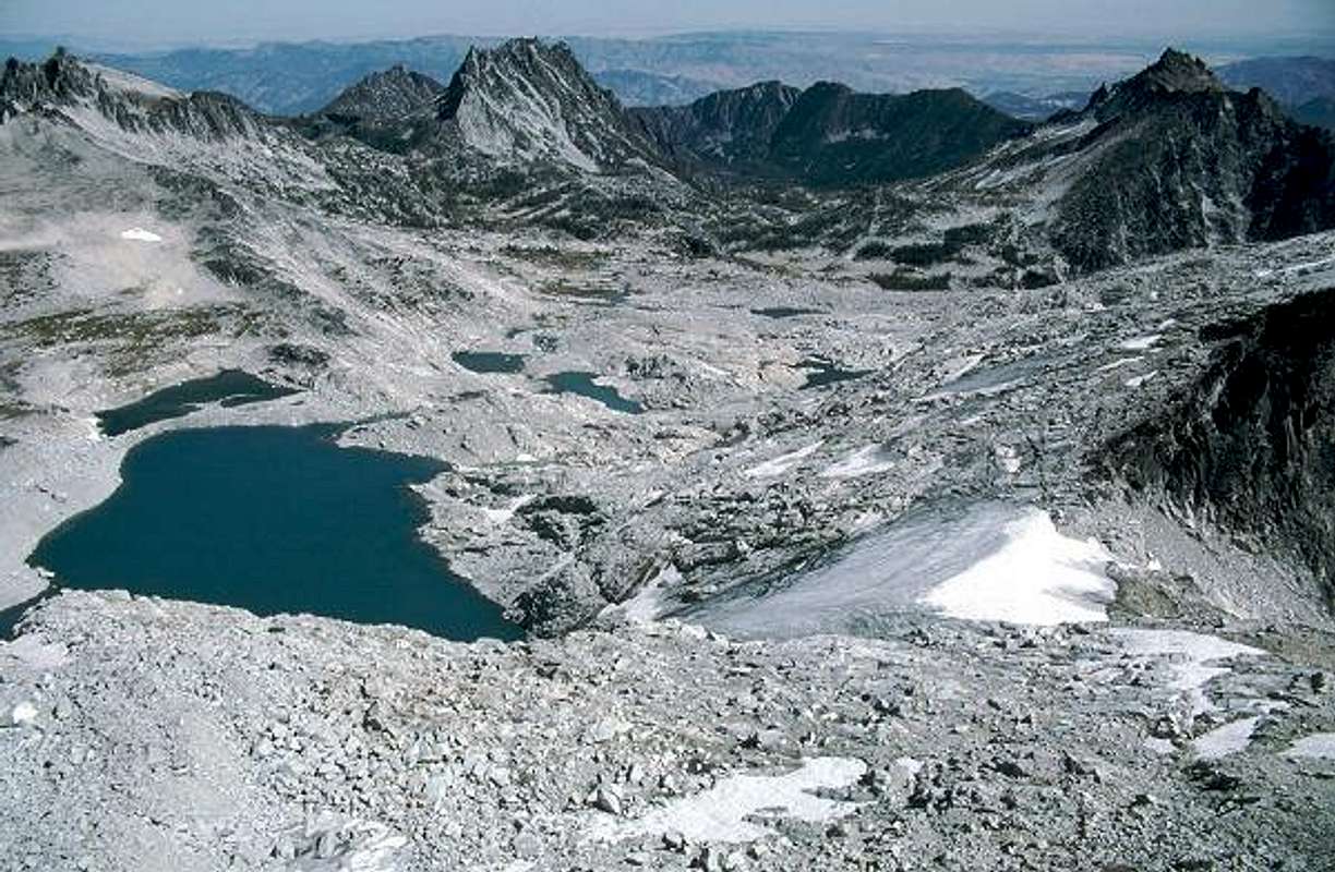
What a clear day!This is a great photo showing a view from above tree-line to below tree-line on the east "slope" of the Cascades. Immediately to the left of McClellan Peak is the town of Wenatchee and the Columbia River in the shrub-steppe of Eastern Washington. One can just make out the dark orchard trees in the vicinity of the town.
Thanks, Bob, for another fantastic picture.

Bob Bolton - Jan 14, 2003 4:38 pm - Hasn't voted
Re: What a clear day!Thanks for the very kind words. Your analysis piqued my interest, so I looked up your profile. I see you're from the Tri-Cities area, and that you're a cartographer. Stands to reason given the information in your post. I was born in Wenatchee a hundred years ago or something, and clear days like this are one of the truly wonderful characteristics of that area. Especially in September, when this was taken. On this day we could see very clearly Mt. Adams, almost in Oregon, and Mt. Baker, almost in Canada, as well as Rainier, Glacier Peak, and the Alpine Lake Wilderness peaks to the west, besides far out into the Columbia Basin. Par for the course in September! :-)
Bob


Comments
Post a Comment