Toggle navigation
Mountains
Routes
Images
Trip Reports
Forum
What's New
People
Areas & Ranges
Articles
Trailheads
Canyons
Huts & Campgrounds
Albums
Logistical Centers
Fact Sheets
Lists
Custom Objects
Gear
Plans & Partners
WELCOME TO SUMMITPOST
SIGN IN
REGISTER
Southwest Slope
Additional Parents
Image
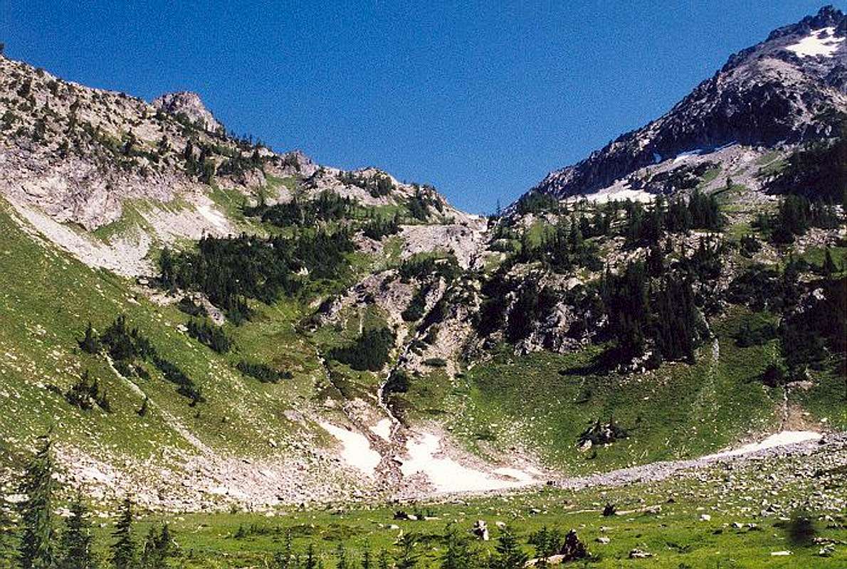
This is the large meadow in...
View High-Resolution Image
This is the large meadow in...
This is the large meadow in Leroy Creek Basin at ~6,100 ft in August. Good camping here with much running water. The West Ridge of Seven Fingered Jack is at upper right.
« PREV
NEXT »
Klenke
on
Apr 2, 2004 5:28 pm
Comments & voting
Other parents
Lat/Lon:
48.15050°N / 120.8132°W
Image ID:
48224
7682 Hits
73.06
% Score
3
Votes
Log in to vote
Comments
No comments posted yet.
to post!
Don't have an account?
Southwest Slope
(Route)
« PREV
Viewing
#4 of 15
GALLERY
NEXT »
Klenke's Image Gallery
« PREV
Viewing
#2256 of 5376
GALLERY
NEXT »
Seven Fingered Jack
(Mountain/Rock)
Loading....
×
You need to login in order to vote!
User Name
Password
Remember me
Forgot your password?
Log me out when I close my browser.
Keep me logged in all the time.
sign in as a user
Don't have an account?
Register now for FREE
Rating available
Suggested routes for you
People who climb the same things as you
Comments Available
Create Albums
Register Here


