Toggle navigation
Mountains
Routes
Images
Trip Reports
Forum
What's New
People
Areas & Ranges
Articles
Trailheads
Canyons
Huts & Campgrounds
Albums
Logistical Centers
Fact Sheets
Lists
Custom Objects
Gear
Plans & Partners
WELCOME TO SUMMITPOST
SIGN IN
REGISTER
Bighorn Route
Additional Parents
Image
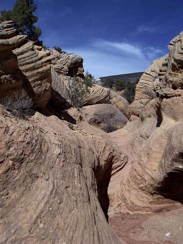
This is the lower part of the...
View High-Resolution Image
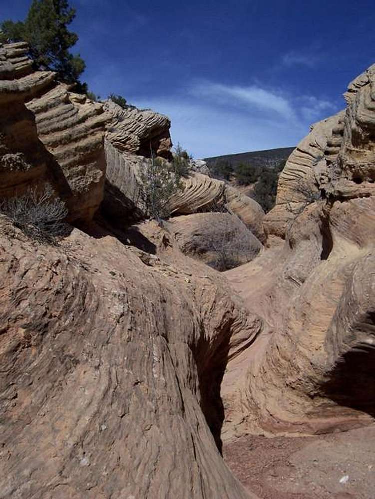
This is the lower part of the...
This is the lower part of the drainage in the route desription that is used to access the divide and the Bighorn Route up South Split Mountain.
« PREV
NEXT »
Scott
on
Apr 5, 2005 1:29 pm
Comments & voting
Other parents
Lat/Lon:
40.45600°N / 109.2144°W
Image ID:
98815
5956 Hits
77.48
% Score
8
Votes
Log in to vote
Comments
No comments posted yet.
to post!
Don't have an account?
Bighorn Route
(Route)
You are at
the First
Image
Viewing
#1 of 4
GALLERY
NEXT »
Scott's Image Gallery
« PREV
Viewing
#647 of 8082
GALLERY
NEXT »
Dinosaur National Monument and Vicinity
(Area/Range)
Loading....
Split Mountain-South
(Mountain/Rock)
Loading....
Wilderness is for Everyone
(Article)
Loading....
×
You need to login in order to vote!
User Name
Password
Remember me
Forgot your password?
Log me out when I close my browser.
Keep me logged in all the time.
sign in as a user
Don't have an account?
Register now for FREE
Rating available
Suggested routes for you
People who climb the same things as you
Comments Available
Create Albums
Register Here


