Welcome to SP!  -   
 
 New features are here! - Read More... 
Areas & Ranges·Mountains & Rocks·Routes·Images·Articles·Trip Reports·Gear·Other·People·Plans & Partners·What's New·Forum

This is the rightmost...

 
[ Sizes: Orig | Med | Small | Thumb ]
This is the rightmost...
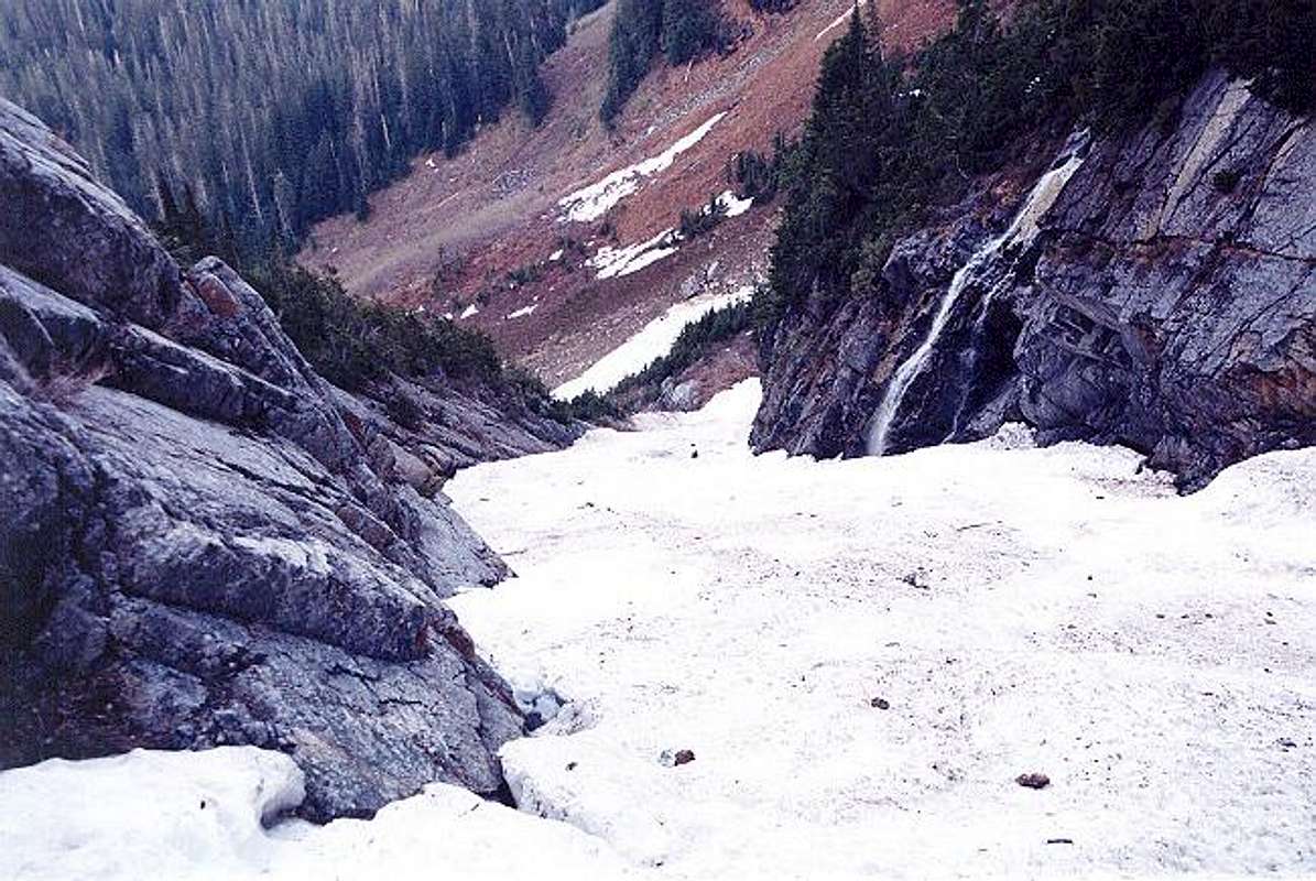
This is the rightmost (northernmost) gully we took to get through the lower basin cliff band. As you can see, it was snowfilled for us. I don't know if this gully would be passable without the snow. We did find a fixed rope on the sloping rock wall at left. Juan tried to remove it for booty but he couldn't extricate it from the snow. April 25, 2004.


Comments

No comments posted yet.


Sign in to post!

Don't have an account? Register now.


Rate This Image
Current Score: 86.55

Log In To Vote
 Big Four Mountain (Mountain/Rock)

The view down into the lower...
« PREV

Viewing
#45 of 107
GALLERY
This is the narrowest section...
NEXT »

 Klenke's Image Gallery

The view down into the lower...
« PREV

Viewing
#1408 of 5079
GALLERY
This is the narrowest section...
NEXT »


 Dry Creek Route (Route)


Image Data

KlenkeSubmitted by Klenke
on Apr 29, 2004 5:39 pm

Image ID: 51313
Hits: 966 

Lat/Lon: 48.04200°N / 121.52°W


"Fate is my only master. Destiny signs my checks."   --The Tick   

© 2006-2012 SummitPost.org. All Rights Reserved.