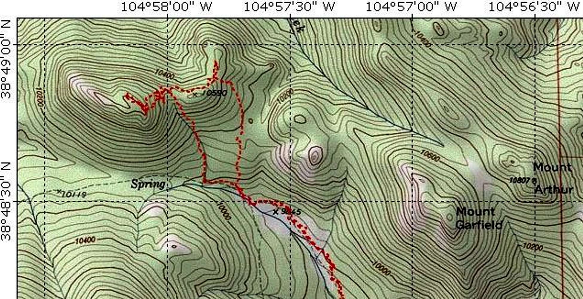
This map shows the route I climbed and descended Tuckaway. The ascent route is the less steep route on the right. This is fairly gradual and easy until the saddle west of Point 10590. The descent goes straight down the gulley but wasn't too bad either (it could probably be ascended). Map made with Topo! software (www.topo.com). For full map click here.


