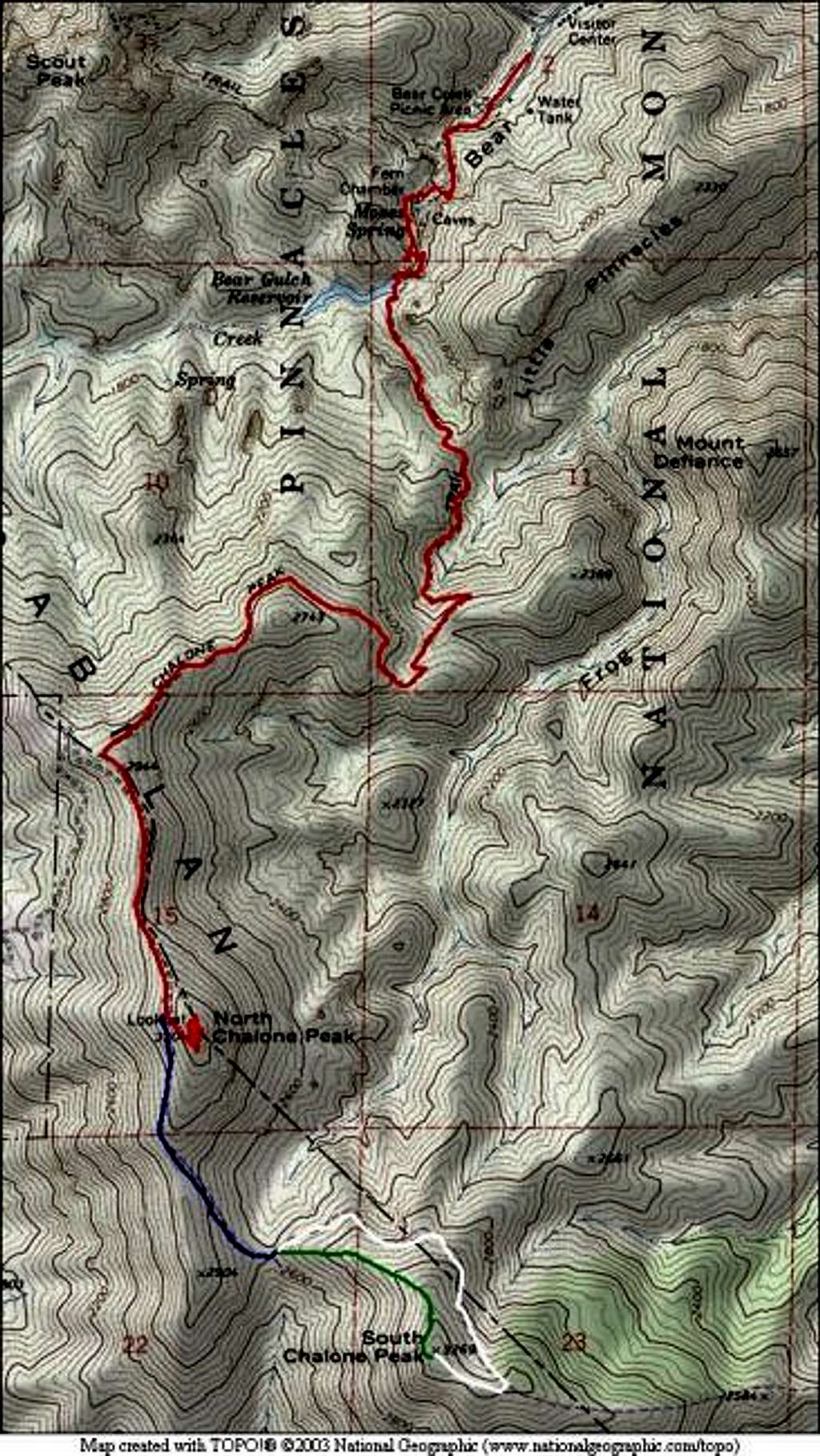
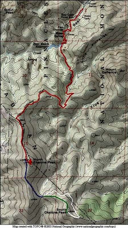
Topo map showing the approach...
Topo map showing the approach to North Chalone Peak (red) and the beginning of the South Chalone Peak trail (blue). At the saddle point between North and South Chalone Peaks, the South Peak Trail continues east around the peak (white) while the Fence Line Trail heads directly up to the summit (green).


