Topo

Topo

This diagrammed section of the USGS Hilgard Peak quadrangle serves a couple of purposes. The "upper" route connects the notch east of Hilgard Peak's east ridge with a saddle on the south rim of Hilgard Basin (north of that saddle is the end of the trail that goes through Hilgard Basin). This route is useful for the following purposes: an approach to Dutchman Peak from the south, an approach to Hilgard Peak from Hilgard Basin, and a return route to Hilgard Basin after completing the Echo-Dutchman-Hilgard traverse. The "lower" route shows the approximate location of the approach route from Avalanche Lake to the notch east of Hilgard's east ridge. Its primary use is for those climbing Hilgard via the standard approach and route. Madison Range, MT
Bob Sihler
on Oct 18, 2012 10:17 am
Image Type(s): Topo/Diagram,  Informational
Image ID: 820642

Comments

Post a Comment
Viewing: 1-2 of 2
Bill Reed

Bill Reed - Oct 18, 2012 10:26 am - Voted 10/10
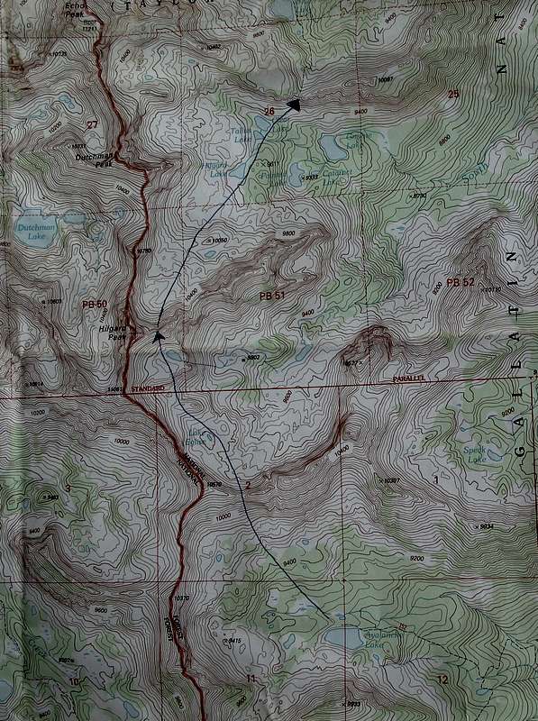
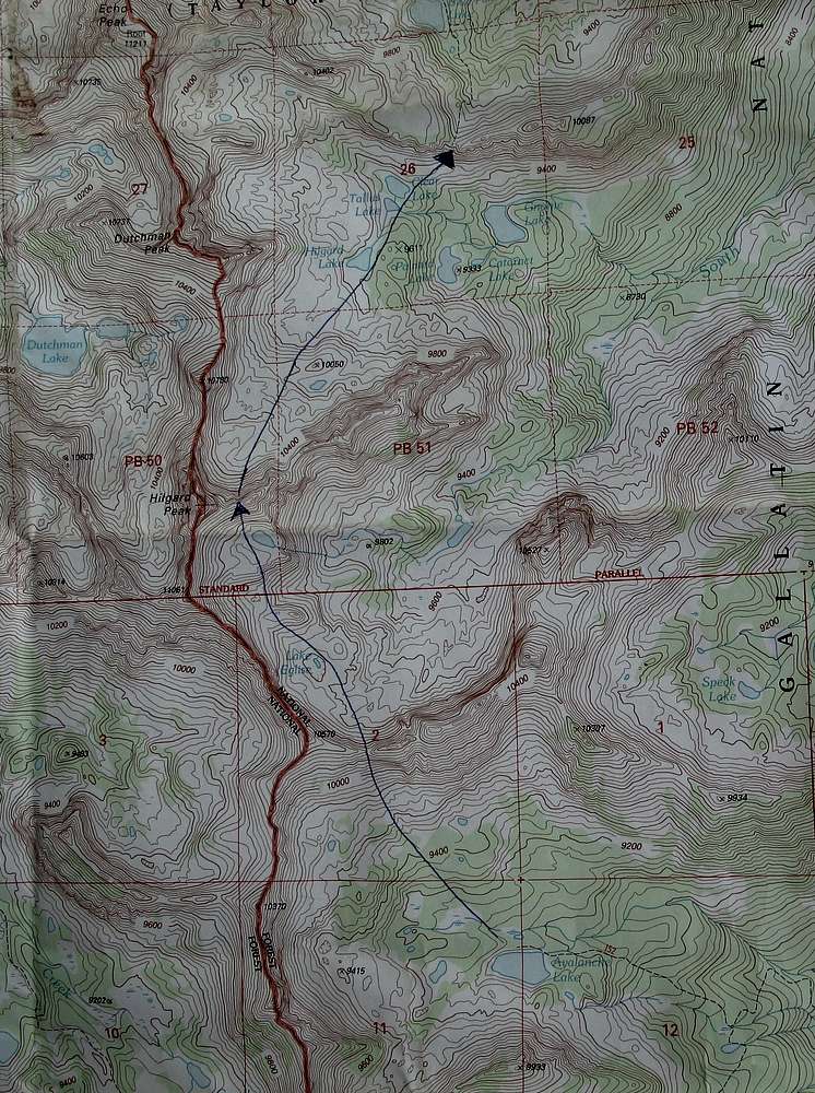
Nice map Bob.....

Looks old schoolish and I like it!

Bob Sihler

Bob Sihler - Oct 18, 2012 2:22 pm - Hasn't voted

Re: Nice map Bob.....

Simple and useful! I love my USGS quads and am very reluctant to move on to something else.

Viewing: 1-2 of 2