Toggle navigation
Mountains
Routes
Images
Trip Reports
Forum
What's New
People
Areas & Ranges
Articles
Trailheads
Canyons
Huts & Campgrounds
Albums
Logistical Centers
Fact Sheets
Lists
Custom Objects
Gear
Plans & Partners
WELCOME TO SUMMITPOST
SIGN IN
REGISTER
Gash Point Trailhead
Additional Parents
Image
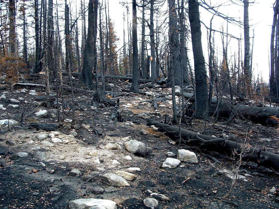
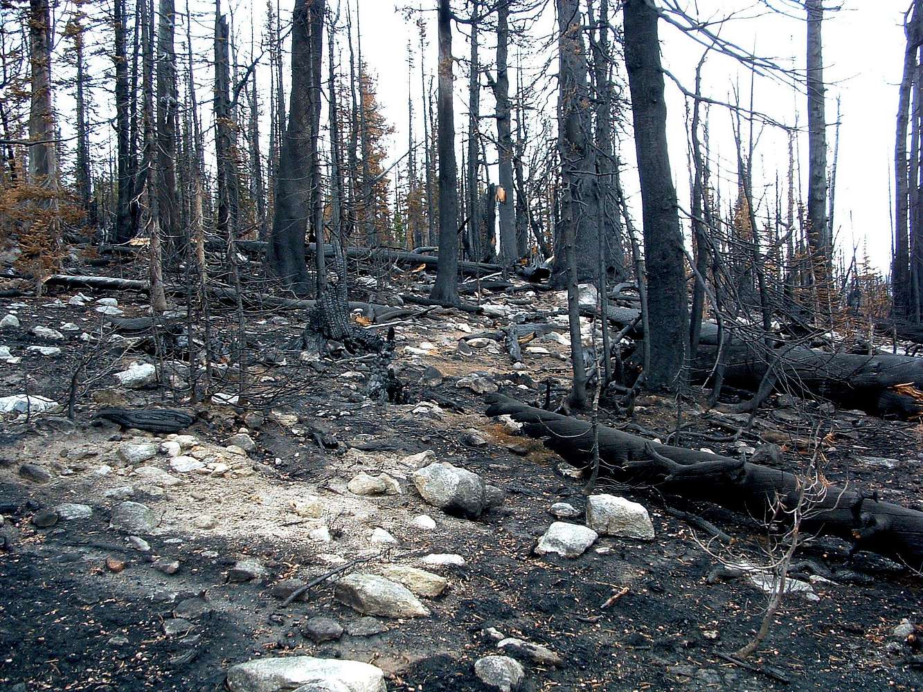
Trail Through Upper Burn
View High-Resolution Image
Trail Through Upper Burn
Once the route moves onto the ridge-crest, it has several more
burn areas to pass through. © Mike Hoyt, 8oct06.
« PREV
NEXT »
Michael Hoyt
on
Oct 9, 2006 1:29 am
Comments & voting
Other parents
Lat/Lon:
46.43347°N / 114.31955°W
Image Type(s):
Rock Climbing
,
Bouldering
,
Hiking
,
Skiing
,
Informational
,
Scenery
Image ID:
233142
2537 Hits
72.08
% Score
2
Votes
Log in to vote
Comments
No comments posted yet.
to post!
Don't have an account?
Gash Point Trailhead
(Trailhead)
« PREV
Viewing
#6 of 6
GALLERY
You are at
the Last
Image
Michael Hoyt's Image Gallery
« PREV
Viewing
#1275 of 1801
GALLERY
NEXT »
Gash Point
(Mountain/Rock)
Loading....
×
You need to login in order to vote!
User Name
Password
Remember me
Forgot your password?
Log me out when I close my browser.
Keep me logged in all the time.
sign in as a user
Don't have an account?
Register now for FREE
Rating available
Suggested routes for you
People who climb the same things as you
Comments Available
Create Albums
Register Here


