-
 18792 Hits
-
 72.08% Score
-
 2 Votes
|
|
Trailhead |
|---|---|
|
|
46.58981°N / 114.16838°W |
|
|
Ravalli |
|
|
Spring, Summer, Fall, Winter |
|
|
6070 ft / 1850 m |
Access to Little St Joe & St Joseph Peaks

To reach the "normal" trailhead for these two peaks, from Hwy 93, turn west onto Bass Creek road (about 4 mile south of Florence, MT).
Follow the signs for the Charles Waters Campground which you will reach in about 2.5 miles. Go through (or past) the campground to where the pavement ends at the Bass Creek Trailhead.
Take a hard right (north) uphill onto the gravel road, FR 1136. (At first glance it appear that the road ends at the Bass Creek Trailhead - don't be fooled - keep driving.)
You will be going all the way to the end of FR 1136 after 6.8 miles.
There are several roads that turn off of FR 1136, but all are gated after a very short distance.
Take a left at the first fork. The correct route (FR 1136) is well worn compared to the other roads.
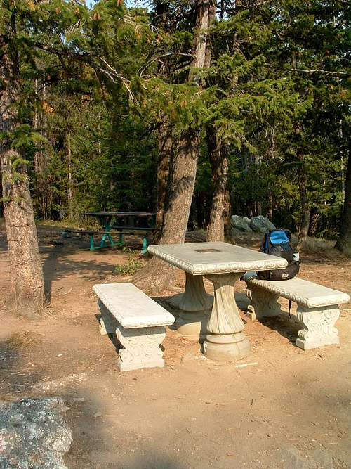
There is a wide turnaround at the end of the road with two picnic tables and a fire ring just to the south. There are no signs, facilities, or trail markings.
This picnic area is "officially" known as the Bass Creek Overlook.
The correct trail leads southwest and DOWN from the parking area, just west of the picnic table. Don't be fooled into hiking an incorrect trail that leads UP from this area.

Area Restrictions
The most recent Forest Service Maps show this entire area as having restrictions. Most importantly, the entire area is closed to off-road vehicle use on a yearlong basis to provide for public safety, reduce soil erosion, and/or protect wildlife.
October 15 to May 15 - The upper portion of the access road is closed to all vehicle traffic to provide big game protection. You can still use the road as long as locomotion is provided by your own power and you don't use a wheeled vehicle.
External Links
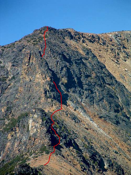
For information about the climbers' routes accessed from this trailhead, see the links included in the pictures' descriptions.


