-
 12042 Hits
-
 73.06% Score
-
 3 Votes
|
|
Trailhead |
|---|---|
|
|
46.95533°N / 114.21306°W |
|
|
Ravalli |
|
|
Spring, Summer, Fall, Winter |
|
|
4798 ft / 1462 m |
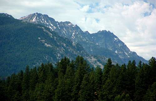
Access to The Shard, Sugarloaf, Chaffin Peaks, & Chaffin Point
Drive south on Hwy 93 from Darby, MT for about 4.5 miles. Turn right (south) onto the West Fork Road (473). Go only about 100 yards, then turn right (southwest) onto Tin Cup-Chaffin Road (no sign).Continue for about 2.8 miles to an unmarked junction and stay to the right (continuing westward). Drive for a little over a mile to the trailhead which is located at a right-turning switchback. The trailhead will be on your left (west).
There used to be only limited parking space, but during the summer of 2008 the Forest Service added a new parking area for several more vehicles.
There are no restroom facilities.
For information about the climbers' routes accessed from this trailhead, see the links included in the picture's descriptions.
 |
|---|

