Overview
My wife and I could not find a good place to stay in Flaming Gorge National Recreation Area where I wanted to do several days of hiking. Instead, we rented a house in the community of Dry Fork 10 miles to the northwest of Vernal, Utah. While this created long daily drives to and from Flaming Gorge, it put me very close to some of the high peaks of the Uinta Mountains. I had to climb at least one peak. The two most accessible peaks were the 12028 ft Leidy Peak and the 12240 ft Marsh Peak. Leidy Peak required more of a drive and less of a hike so I decided to climb Marsh Peak.
Marsh Peak is the highest peak in the eastern part of the Uinta Mountains. Its eastern and southern slopes are gentle. To the north, steep slopes go down to reach a nameless lake at 10820 ft. A network of abandoned logging roads can be followed to reach the upper slopes of Marsh Peak.
Trip Report
Starting Point Elevation: 9680 ft
Summit Elevation: 12240 ft
Roundtrip Hiking Distance: 10.3 miles
Left the vacation rental house in Dry Fork Utah (elevation 6700 ft) at 6:30 a.m. (sunrise was 6:55 a.m.) and went on Red Cloud Loop Road which took me into Dry Fork Canyon. Pavement ended but the road surface remained smooth. Over the last couple of days, I had seen the upper walls of the canyon from the house that we were staying at.
The road made a number of switchbacks and went up the walls of the canyon to reach a forested plateau at around 9200 ft elevation. For the next many miles, the road remained in the forest. Only in one or two places, from behind the trees I was able to get quick glimpses of distant bald rounded domes that were probably Marsh Peak and its neighbors.
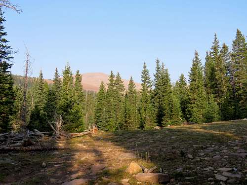
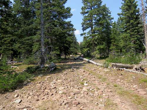
In less than 20 miles, I reached the junction with Forest Road 27. I had planned to start my hike at that junction but saw that Road 27 seemed to be well graded so I turned onto it and drove a mile or so to reach the junction of Road 17 where I parked. I started my hike at 7:25 a.m. hiking up Road 27 in the forest. Free roaming cattle were mooing in the forest. Sometimes they did not moo per se, they made a loud strange sound as if a monster was on the loose in the woods.
![Start of my hike]() Start of my hike
Start of my hike
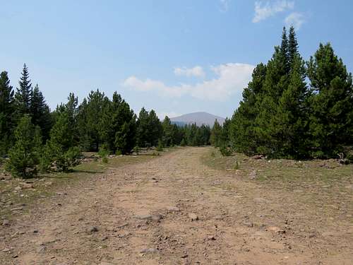
For the next mile or so, Road 27 continued to remain well graded. Had I continued to drive, I could have shortened my hike by 2-3 miles. At a place where the forest opened up, the big dome of marsh Peak came to view.
![Marsh Peak]() Marsh Peak
Marsh Peak
The road quality slowly deteriorated until it eventually looked more like a trail. Nameless roads branched off here and there. I had looked at satellite photos and knew which path to follow. The path continued to remain in the forest going up in elevation slowly and occasionally giving me views of Marsh Peak.
![Marsh Peak]() Marsh Peak Marsh Peak |
|
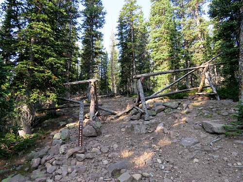
After 3.3 miles, at 8:40 a.m. and 10600 ft, I reached the start of a well-marked trail. A forest service ATV was there but I did not see a single person all day long.
![Start of trail]() Start of trail
Start of trail
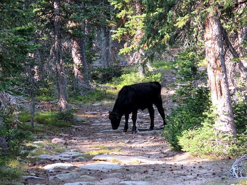
I left the road (which supposedly went downhill after that spot to reach Ashley twin Lakes) and began to hike up the trail. In one spot, a small cow was standing right in the middle of the trail with two bigger ones (one of which was presumably its mother) not far away in the forest. It did eventually get concerned and moved away as I continued on the trail.
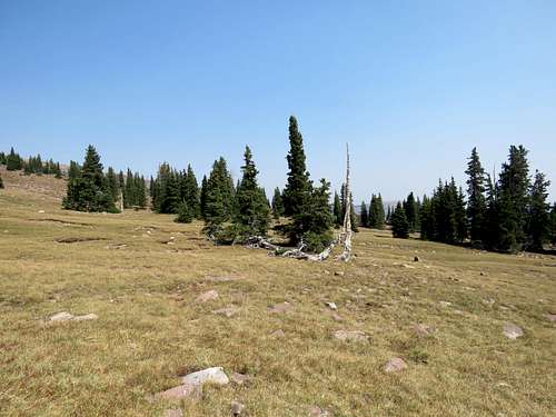
At around 10850 ft, the forest thinned out and then quickly went away. Marsh Peak appeared as a big hill in front of me. It looked like I was almost there but I knew that looks were deceiving. I still had 1400 vertical feet to climb.
![Marsh Peak from treeline]() Marsh Peak Marsh Peak |
![Treeline]() Treeline Treeline |
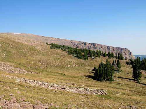
The trail actually did not go to the summit of Marsh Peak so I left it and went directly up the slopes toward the summit. The walls of Point 12142 ft came to view to the north.
![Point 12142 ft and its cliffs]() Point 12142 ft
Point 12142 ft
Over the last 3 days that I had been in Dry Fork, Utah, the air had appeared very smoky hazy making the views dark and blurred (these pictures have been brushed up with Corel Paint Shop). I was however thankful that it had remained sunny.
Ashley Twin Lakes to the north/northeast.
![Ashley Twin Lakes]() Ashley Twin Lakes
Ashley Twin Lakes
Continuing up the grassy and boulder covered slopes.
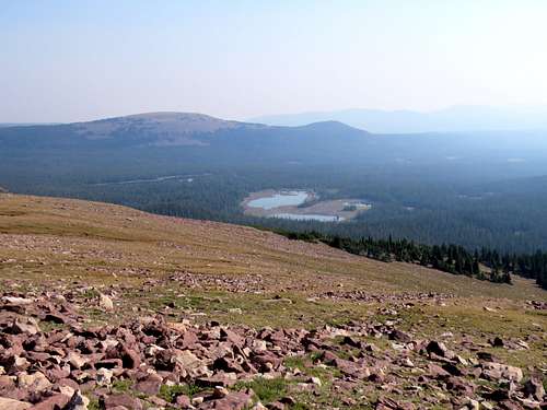
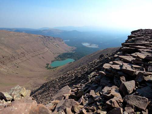
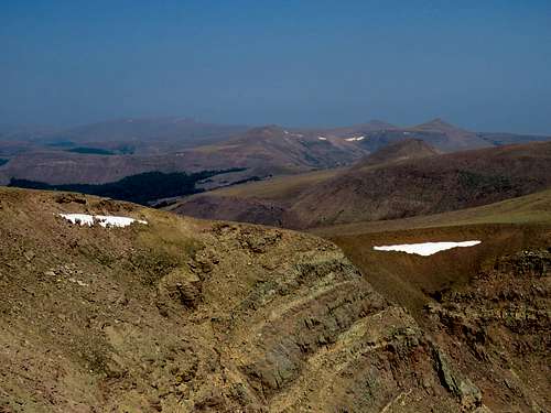
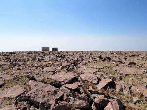
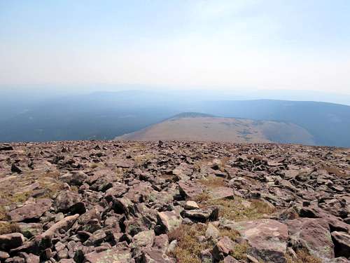
The slope gradually eased up until I reached the summit, which was a huge flat boulder covered area at 10:15 a.m. To the north, nasty steep slopes went down into a basin created by Marsh Peak and Point 12124 ft. A lake sat at the bottom of the basin at 10820 ft.
![Lake 10820 ft & Ashley Twin Lakes]() Lake 10820 ft
Lake 10820 ft
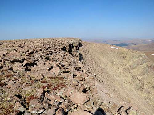
Other summit views (I did not bother to investigate the structure on the summit, probably a weather/communications station or something).
![Point 12142 ft & Leidy Peak]() Point 12142 ft & tip of Leidy Peak Point 12142 ft & tip of Leidy Peak |
![Looking northwest]() Looking northwest Looking northwest |
![Untermann Peak]() Untermann Peak Untermann Peak |
|
Had my lunch, enjoyed the views and left at 10:45 a.m. retracing my path down the mountain. Looking east into the haze and glare of the sun.
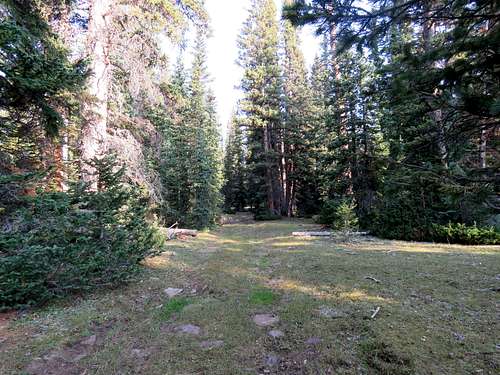
Back in the trees.
Trail in the forest.
Hiking the long road and view of Marsh Peak behind.
![Marsh Peak]() Marsh Peak
Marsh Peak
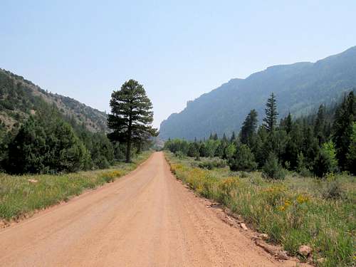
Reached the car at 1:20 p.m. stopped in a couple of places in Dry Fork Canyon to take pictures.
![Dry Fork Canyon]() Dry Fork Canyon Dry Fork Canyon |
![Dry Fork Canyon]() Dry Fork Canyon Dry Fork Canyon |
Was home by 2:20 p.m. Walls of Dry Fork Canyon from backyard.
![Walls of Dry Fork Canyon]() Dry Fork Canyon from backyard
Dry Fork Canyon from backyard


Comments
Post a Comment