Toggle navigation
Mountains
Routes
Images
Trip Reports
Forum
What's New
People
Areas & Ranges
Articles
Trailheads
Canyons
Huts & Campgrounds
Albums
Logistical Centers
Fact Sheets
Lists
Custom Objects
Gear
Plans & Partners
WELCOME TO SUMMITPOST
SIGN IN
REGISTER
Chickies Rock
Additional Parents
The Ramp
Image
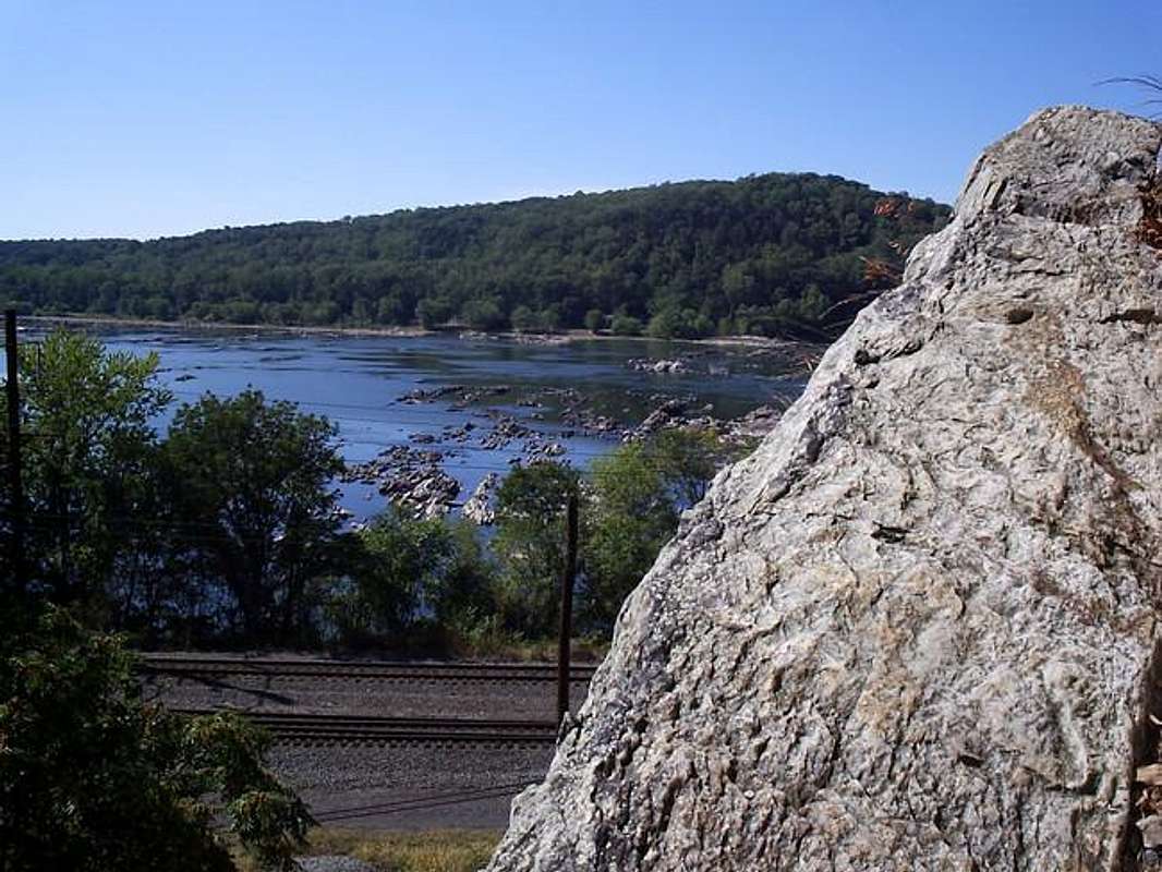
Nearly at the end of the ramp...
View High-Resolution Image
Nearly at the end of the ramp...
Nearly at the end of the ramp on The Ramp route. Great views over the river are easy to find. October 2005.
« PREV
NEXT »
mtwashingtonmonroe
on
Oct 2, 2005 10:18 pm
Comments & voting
Other parents
Lat/Lon:
40.05230°N / 76.5226°W
Image ID:
129166
3357 Hits
73.06
% Score
3
Votes
Log in to vote
Comments
No comments posted yet.
to post!
Don't have an account?
Chickies Rock
(Mountain/Rock)
« PREV
Viewing
#18 of 38
GALLERY
NEXT »
mtwashingtonmonroe's Image Gallery
« PREV
Viewing
#487 of 1185
GALLERY
NEXT »
The Ramp
(Route)
Loading....
×
You need to login in order to vote!
User Name
Password
Remember me
Forgot your password?
Log me out when I close my browser.
Keep me logged in all the time.
sign in as a user
Don't have an account?
Register now for FREE
Rating available
Suggested routes for you
People who climb the same things as you
Comments Available
Create Albums
Register Here


