Welcome to SP!  -   
 
 MbPost.com -- It's SP for Mountain Biking!
Areas & Ranges·Mountains & Rocks·Routes·Images·Articles·Trip Reports·Gear·Other·People·Plans & Partners·What's New·Forum

June 25, 2004 Looking down... [ Sizes: Orig | Med | Small | Thumb ]
June 25, 2004
 Looking down...
June 25, 2004

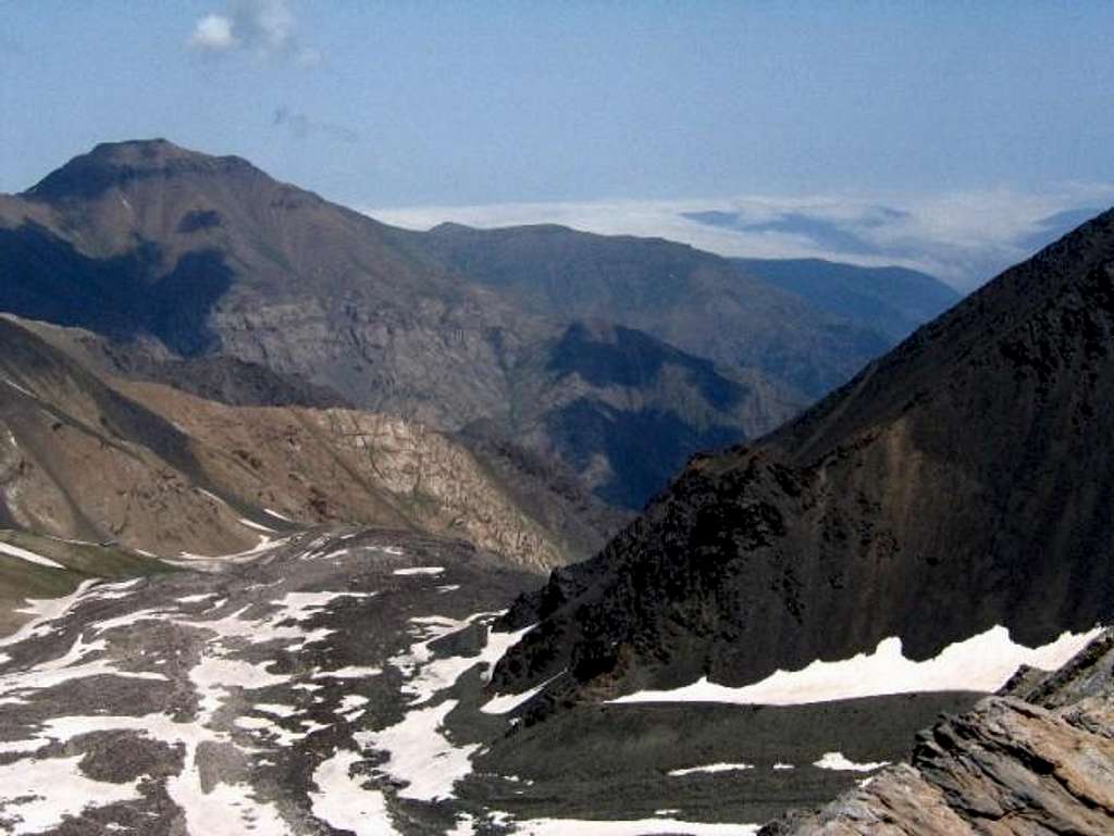
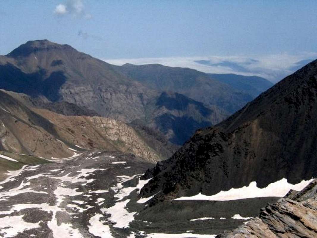
Looking down at the junction of Alam Chal and Pa Takht Glaciers, Sar Chal Shelter visible to the left, The peak on the left is Korma Kooh 4020 m (13189 ft)

Note the rain clouds from the Caspian Sea filling the valley to the right. From the summit of Mian-Se-Chal


Comments

No comments posted yet.


Sign in to post!

Don't have an account? Register now.


Rate This Image
Current Score: 87.06

Log In To Vote
 Mian-Se-Chal (Mountain/Rock)


« PREV

Viewing
#13 of 23
GALLERY

NEXT »

 nader's Image Gallery


« PREV

Viewing
#1155 of 3160
GALLERY

NEXT »
Image Data

Submitted by nader
on Jul 11, 2004 12:12 am

Image ID: 60109
Hits: 749 

Lat/Lon: 36.38740°N / 50.97390°E


"Remember that behind every sleazy lawyer is a sleazy client."

© 2006 SummitPost.org. All Rights Reserved.