
Pahsimeroi River Access Map
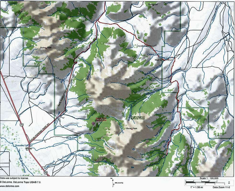
Access map (marked in red) to the West Fork and East Fork of the Pahsimeroi River. The distance I recorded (all dirt) from the Doublespring Pass turn-off on Highway 93 to the end of the road on the West Fork of the Pahsimeroi River is 24 miles. The last 8 miles will provide you with an unforgettable driving experience.
Mt Borah - Lost River Range, Idaho


