The Y Trail and Slide Canyon
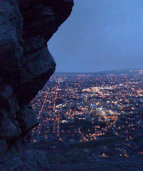
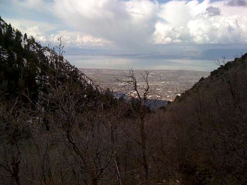
![Provo Early Morning]() Shot of Provo before the trail heads east up Slide Canyon
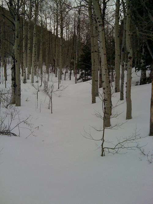
Shot of Provo before the trail heads east up Slide Canyon![Slide Canyon]() No more tracks after the turn off to Y Mountain
No more tracks after the turn off to Y MountainI pulled up to the parking lot for the Y trail head just before 6 am Saturday morning. There was a large group of college students congregating there to hike the Y. It took only a minute to pull out my pack, throw on a jacket and start off up the trail. One thing I left in the car was the 7.5 minute USGS quad map that was in the passenger seat but I wouldn't think about for another hour and a half. Having the entire Y trail to myself, I kept up a good pace to the top of Y and knew I wouldn't see the group from the parking lot again, or anyone else for that matter, until coming back down the mountain. The week before I had been up to the summit of Y Mountain for the first time and coming down the trail from Slate Canyon to the Y I had flushed a few chukars out of the brush on the steep slope below. Now I could hear their calls in the rocky cliffs above as I hiked on the same trail.
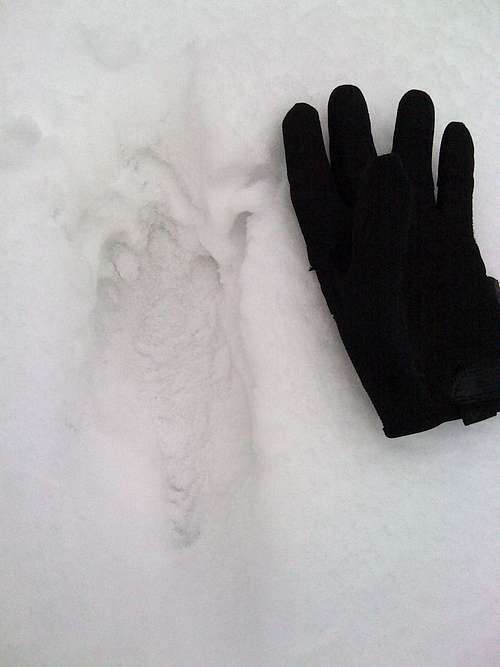
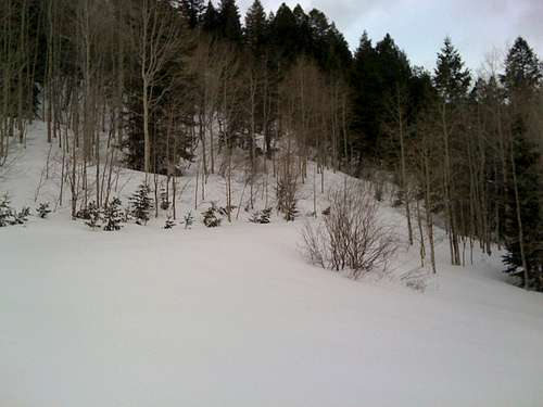
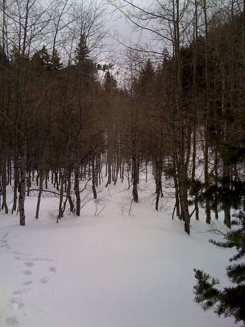
![Cougar Tracks]() Cougar tracks running across the canyon
Cougar tracks running across the canyonThe hike up slide canyon to the Y Mountain turn off was uneventful except for a couple of grouse that busted out of trees as I passed. The first time it scared the crap out of me; the second time it scared the crap out of me. Question, if a grown man yells like a little girl in the woods and no one is around to hear, is it still embarrassing? Yes, yes it is.
I finally made it to the turn off to Y Mountain and that is where the tracks ended. The snow from earlier in the week had covered any tracks that continued up the canyon. The next section up Slide Canyon was straight forward enough. A few hundred yards after the turnoff I found some cougar tracks headed south across the canyon. They looked several days old, so I wasn't too worried about a hungry cougar sneaking up on me.
Apache Flat and the North Ridge
![Apache Flat]() Looking south from Apache Flat.
Looking south from Apache Flat.![Road to Nowhere]() Road to nowhere from Apache Flat.
Road to nowhere from Apache Flat.My next task was to find the turn off south to Apache flat. This section of the canyon was new to me and without a map I had to go off of memory. I ended up taking a little detour up the knoll to the south of Apache Flat, until I got to the top and realized my mistake. This cost me just under a half mile but was the only real route finding difficulty I had. Once on Apache Flat, it was easy to find the beginning of the "road to nowhere" to the west.
![End of Road to Nowhere]() Looking down towards Apache Flat on the road to nowhere right before it makes the turn to the south
Looking down towards Apache Flat on the road to nowhere right before it makes the turn to the south
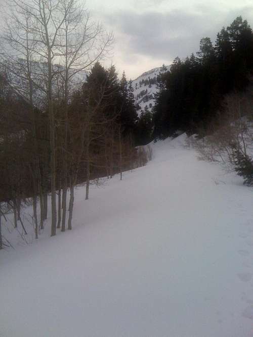
When I started out, I had hoped to reach the summit in 3 hours. So far my pace had been a little under two miles an hour but that was soon going to change. Apache Flat is right at 8,000 feet and this is where I started to see a significant amount of new snow. Since deciding to climb Maple Mountain earlier in the week, I had been checking the weather forecast regularly. There had been several storms that had come through earlier in the week and dump a good amount of snow in the mountains. In fact, I woke up Tuesday morning to find an inch in my back yard down in the valley. For some reason I ignored this fact and believed I would have the same conditions as I did on Y Mountain the previous week. At that time, there had been a hard crust of snow everywhere on the summit. After consulting with a coworker, who assured me that my snow shoes would just get in the way, I decided to leave my snowshoes at home and just pack my gaiters in case I ran into any sections of snow deeper than the top of my boots. This ended up being a bad choice. I failed to take into account that my route up Maple Mountain proper was almost entirely on a north facing slope, whereas Y Mountain's trail is entirely on a south facing slope. This coupled with the fact that temperatures had be reasonable low over the past week and the skies had been mostly overcast, resulted in 20-24 inches of soft snow on northeast to northwest facing slopes above 8,000 feet. Yes, snowshoes would have definitely been helpful.
![Cascade Ridge]() Cascade Saddle as I traveled up the north ridge
Cascade Saddle as I traveled up the north ridge
A half hour, a half mile and only 50 feet higher from Apache Flat, I finally made it to the end of the "road to nowhere". At least the road had taken me to the west side of the ridge I was going to take to the summit. Here the snow was firm and was easy to climb until the ridge just under 8,300 feet. Once on the ridge it was back to deep snow again. It was a long slog for the next 900 feet. I tortured myself by constantly checking the elevation on my watch as I broke trail up the ridge.Talk about watching a pot boil. The ridge had some great views of the surrounding mountains, from Y Mountain to the north to Provo Peak to the east.
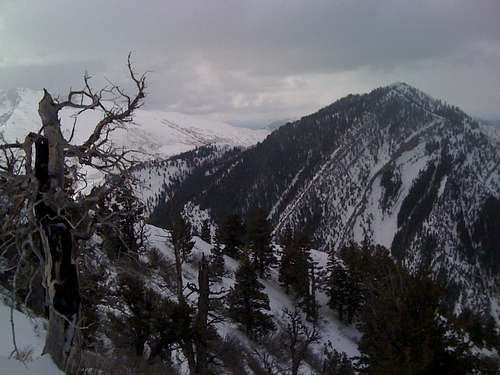
Finally, after 4 hours 15 minutes and 4.4 miles I reached the summit of Maple Mountain. I made a call to my wife to let her know that my return would be a little later than my note had indicated. Conditions were great on the summit but I didn’t linger more than 10minutes. After a quick snack and a picture of Buckley Mountain to the south, I was on my way back down the mountain.
![Buckley Mountain]() Buckley Mountain from the summit of Maple Mountain
Buckley Mountain from the summit of Maple Mountain
The Descent
![Turnoff for Apache Flat]() Where I should have turned to reach Apache Flat
Where I should have turned to reach Apache Flat![Looking Down Slide Canyon]() Clouds in the valley ready to run into the mountains
Clouds in the valley ready to run into the mountains
The hike up the mountain had taken a toll on my legs but I was back down the ridge and at the end of the road soon enough. I had considered following the ridge past the road and back down Slide Canyon. Without a map to help in route finding, I decided to play it safe and retrace my steps, taking small shortcuts where I could.
The first time I saw anyone on the trail all morning was right after passing the Y Mountain turn off. After that a few hikers passed by me in the canyon. About a half mile before the end of the canyon trail, a lone hiker stopped and asked where I was coming back from. I told him I was returning from Maple Mountain and he mentioned that he was planning on going there as well. He looked young and was most likely a college student.I was a little shocked because he was wearing a t-shirt and shorts. He had some decent boots on with wool socks but that will only do you so much good when they are full of snow. He had a small hydration pack that hopefully contained some better clothing but I doubted that. I warned him that the snow was knee high but if he insisted at least I had made a trail.
After leaving the lone hiker I noticed some menacing clouds in the valley. As soon as I started down the last turn of the Y trail sleet started to fall and increased in intensity for several minutes. Looking back at the mountain, the clouds had completely enveloped everything over 7,000 feet and it felt as cold at 5,000 feet as it had on top of the mountain 2.5 hours ago. I hoped the lone hiker had enough sense to call it quits before getting himself into any real trouble. As for me, my reward for a safe solo hike was a double cheese burger meal and a large powerade at the first McDonald's I passed on the drive home.
Stats
Mileage Up: 4.43 miles
Time Up: 4 hours 19 minutes
Mileage Down: 4.04 miles
Time Down: 2 hours 28 minutes
Absolute Elevation Gain: 3,920 feet


Comments
Post a Comment