
-
 2740 Hits
-
 72.08% Score
-
 2 Votes
|
|
Route |
|---|---|
|
|
46.72220°N / 12.84330°E |
|
|
Hike, later Scramble |
|
|
Half a day |
|
|
Scramble-Up |
|
|
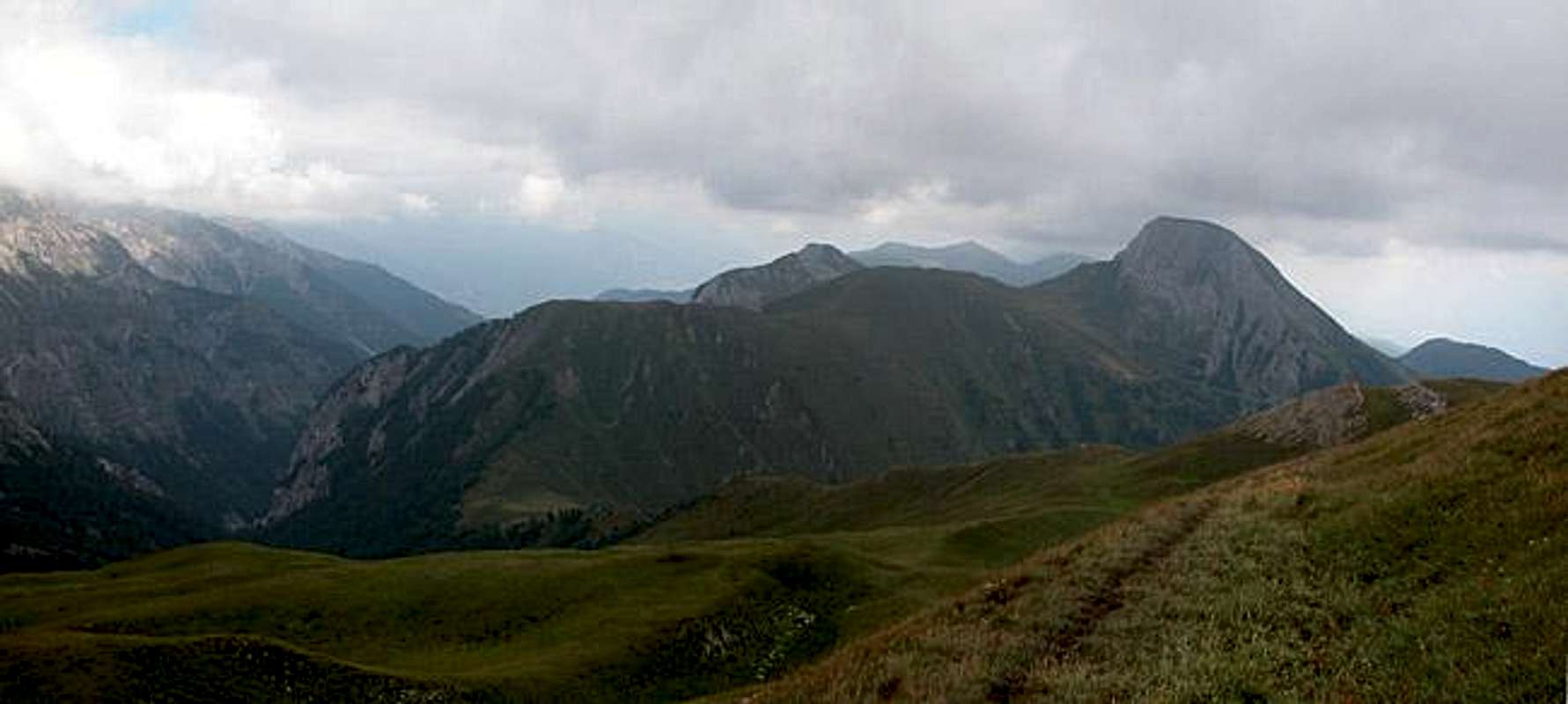
Approach
The trailhead is at the hamlet of Assing on the northern slopes of the Lesachtal Valley. Follow the signs (mark 11) towards Lumkofel and Tscheltscher Alpe.
Route Description
- Start altitude: 1427mm, 1250 at the hamlet Ladstatt
- Summit altitude: 2286m
- Prevailing exposition: W
- Type: 1h over paths, 1h 30min over forest roads, 1h through the scree covered western rock face
- Protection: marked but without security
From the trailhead at Assing follow the sign to Lumkofel. The trail runs north, losing altitude until you reach the hamlet Ladstatt. From there an unmarked trail leaves to the north, shortcutting the forest road to Tscheltscher Alpe. Once back on the road you need to decide:
From Joch follow the ridge until you reach the base of the rocky Lumkofel west face. A short, but secured, climbing section leads you over a ledge into the face. The ascent trail crisscrosses along gravelly paths through the 45 - 60° face so take care! There are no possibilities to place any security. The trail reaches the real summit . Climb down sothwards towards the summit cross.
 |  |  |  |
Essential Gear
Usual hiking gear is sufficient. I would recommend hiking sticks.