
|
|
Mountain/Rock |
|---|---|
|
|
48.58374°N / 123.13784°W |
|
|
San Juan |
|
|
Hiking |
|
|
650 ft / 198 m |
|
|
Overview
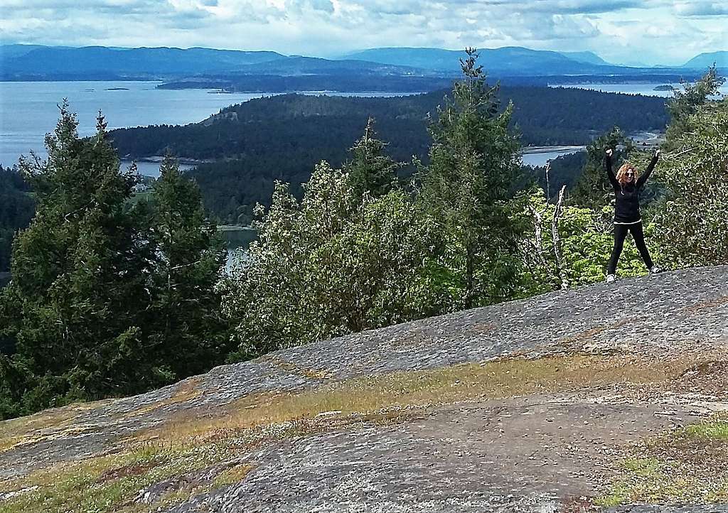
View from the summit of Young Hill with fellow hiker cheering
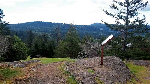 A stand identifying everything that is seen on the summit viewpoint. | 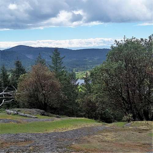 Stunning views |
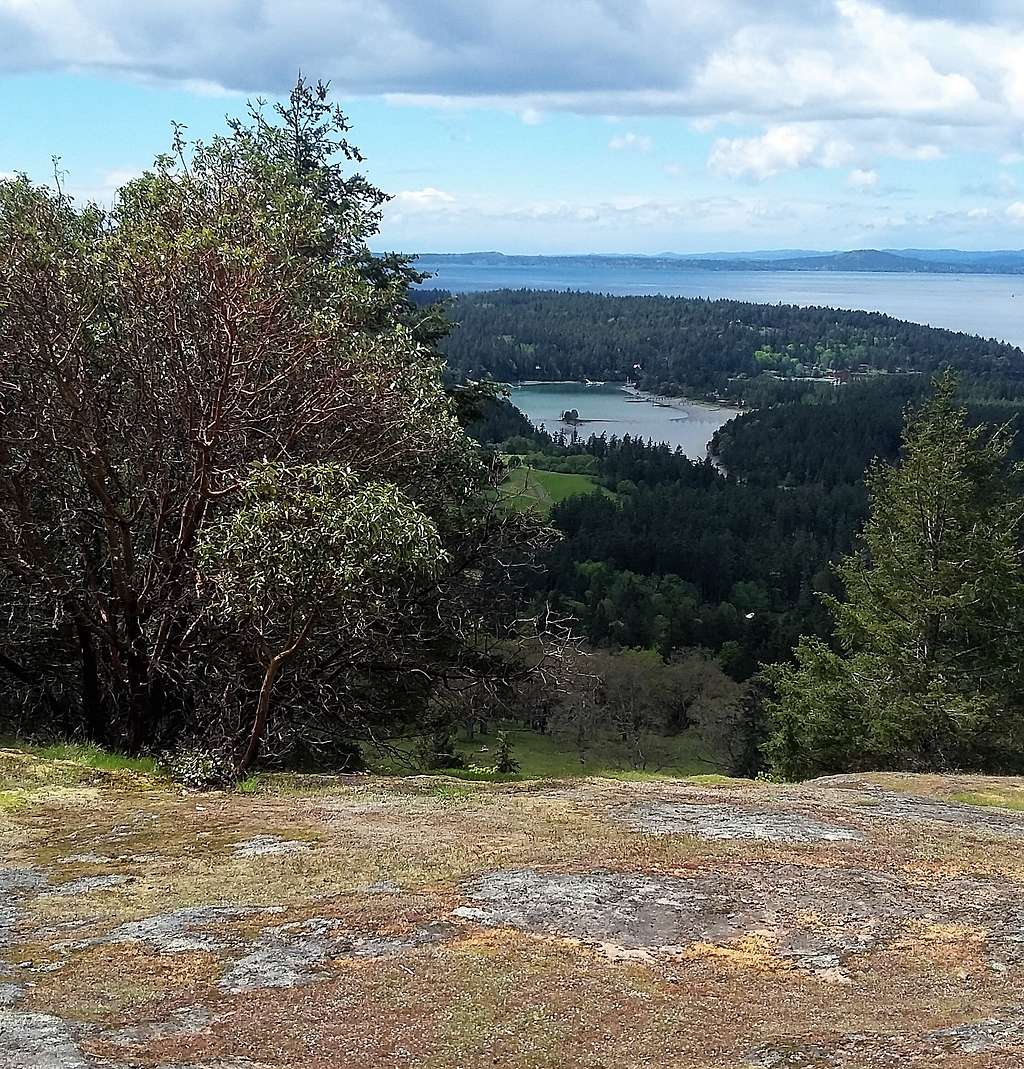
Now a 650 foot hill does not sound so exciting. But this hill is a massive exception. Young Hill is a special hill with a great 180 panorama of Victoria Island, the western San Juan Islands, and the Haro Straight that separates the United States and Canada. This summit clearly has a lot of blame for the buck and is a great summit for in shape and slightly more out of shape peak baggers along with historians as well.
From the viewpoint
 The exact summit from the viewpoint. | 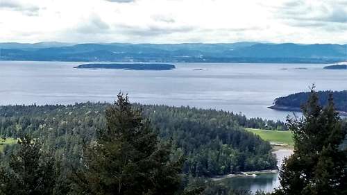 The viewpoint. |
Getting There
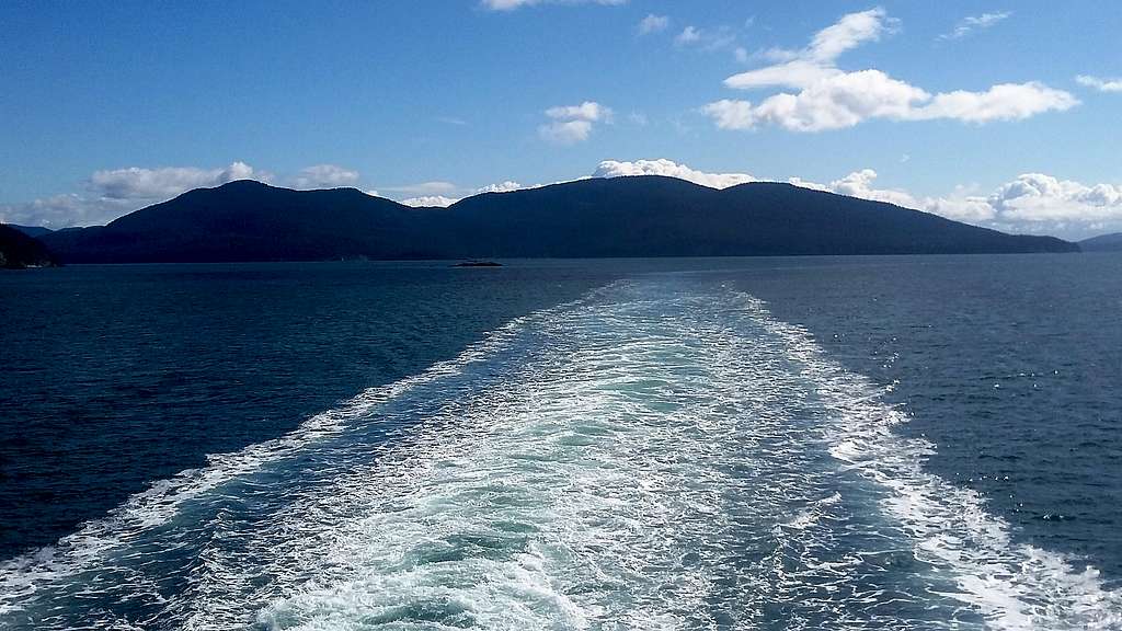
The ferry to San Juan Island which is required
Route
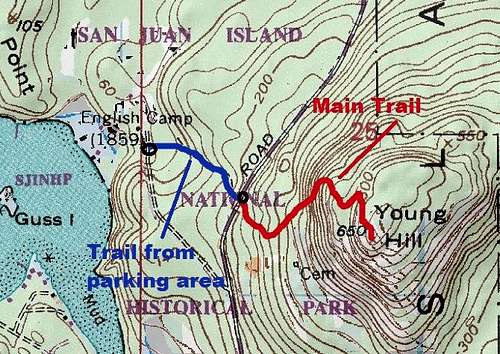
Map of the Route
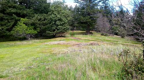
The official trail that uses a former road and goes all of the way to the summit. It is about 1.8 miles roundtrip and 500 feet elevation gain. The trail travels through nice forest and field before hitting the summit area. The true summit is located roughly 200 feet from the amazing viewpoint off to the west.
It should be noted that I saw a number of people coming up from the English Cemetery via a steeper trail. This shorter and steeper trail travels through in open field and steeply goes all the way to the summit. It is unofficial and not listed on any map therefore as an author of the page I would not recommend taking this route.
One can also link this hike to nearby Mitchell Hill and to Bell Point as well if one desires.
Red Tape
There is no official red tape on the trail pull out on West Valley Road. The English Camp Trailhead appears to have no fee as well.When to Climb
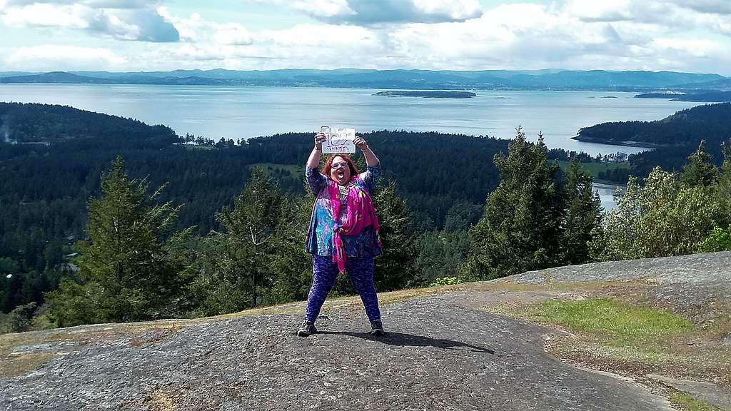
BearQueen celebrates her 100th summit on April 30, 2017. You can do this peak at anytime.
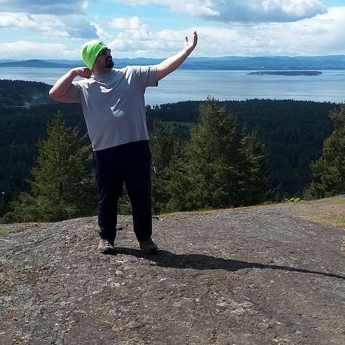
EastKing pose!