
Viewing: 1-2 of 2

wuedesau - Jul 28, 2004 10:07 am - Hasn't voted
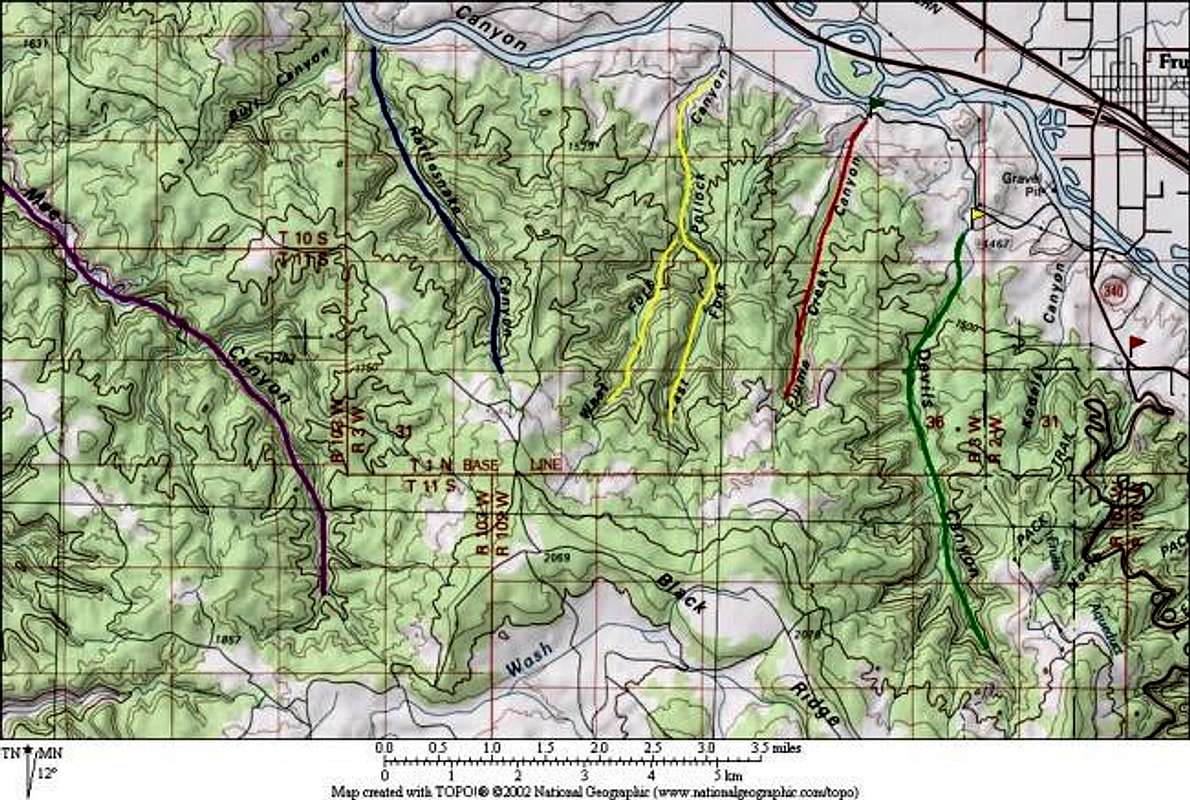
Rattlesnakes?Any rattlesnakes?

Andy - Jul 28, 2004 10:24 am - Hasn't voted
Re: Rattlesnakes?That's a good question. As far as I can remember, there were no signs warning of rattlesnakes, and I don't recall the BLM's website mentioning anything about them either. However, the area seems like prime rattlesnake habitat and with a canyon named Rattlesnake Canyon I'd have to guess that there are some around.
My experience with rattlesnakes is that unless you step on them they're not going to mess with you. So just watch where you step and where you stick your hands (if climbing around on the rock). I think a bigger concern would be if you had a dog or something running around. If you had a curious dog that ran up to a rattlesnake it would probably get bit.
Viewing: 1-2 of 2


Comments
Post a Comment