
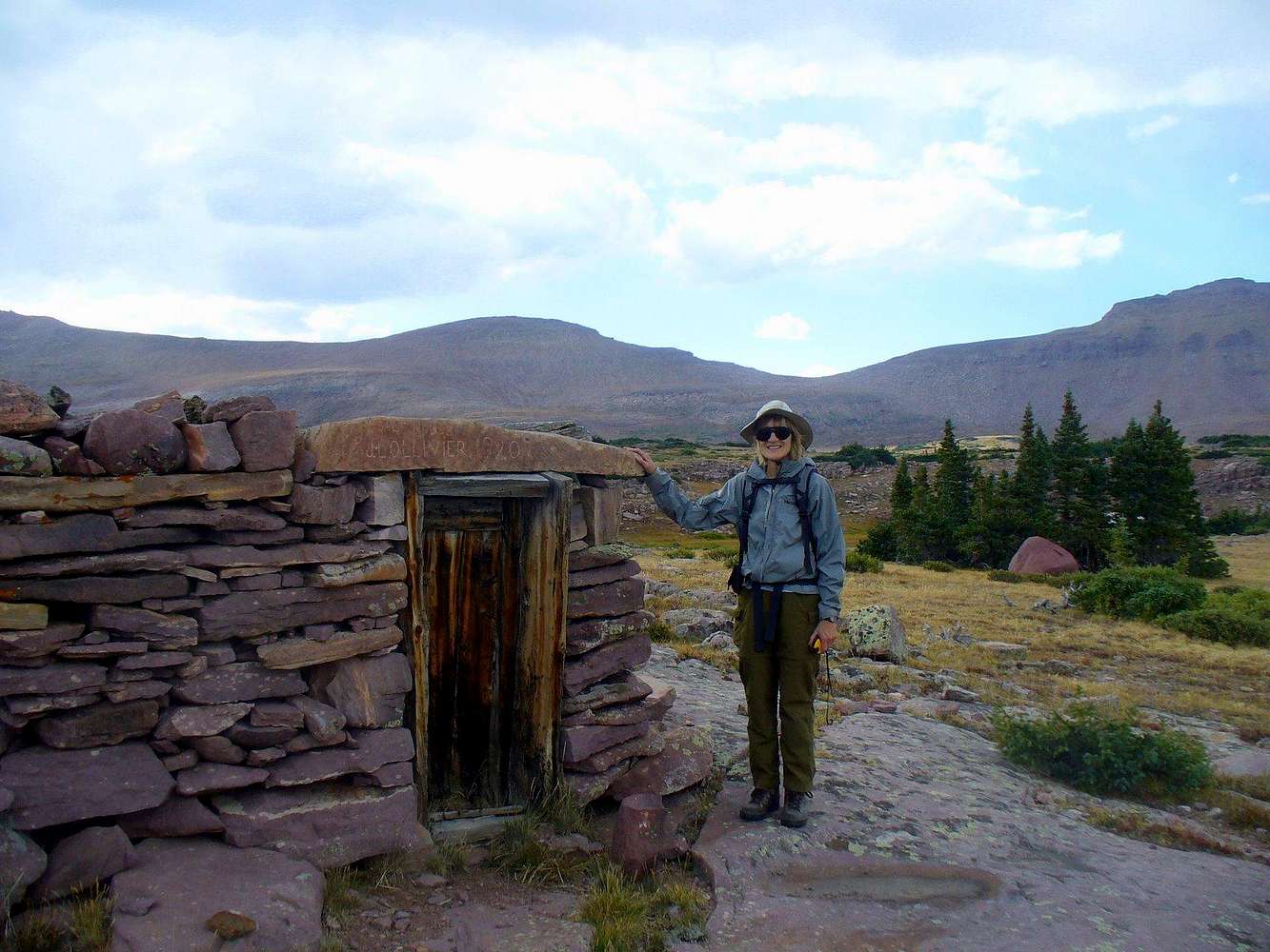
1920 Salt House in Garfield Basin
The doorway is inscribed "J.L. Ollivier, 1920". The historic salthouse ruins sit on top of a low barren hill at 11,200+ elevation, maybe a couple hundred yards to the SE from where the topo places it.
High Uintas wilderness still allows for some grazing, but none takes place in Garfield Basin anymore.
I took this picture of ZeeJay by the ruins, with South Porcupine Mtn behind, near the end of our 5-peaks ridge run of Garfield Rim. Just a couple more miles and we're back in the base camp! 9/8/08 5pm


