|
|
Mountain/Rock |
|---|---|
|
|
47.17809°N / 121.21865°W |
|
|
Kittitas |
|
|
Hiking |
|
|
Summer, Fall |
|
|
5504 ft / 1678 m |
|
|
Overview
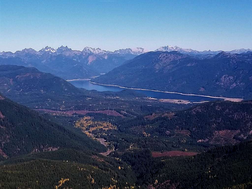
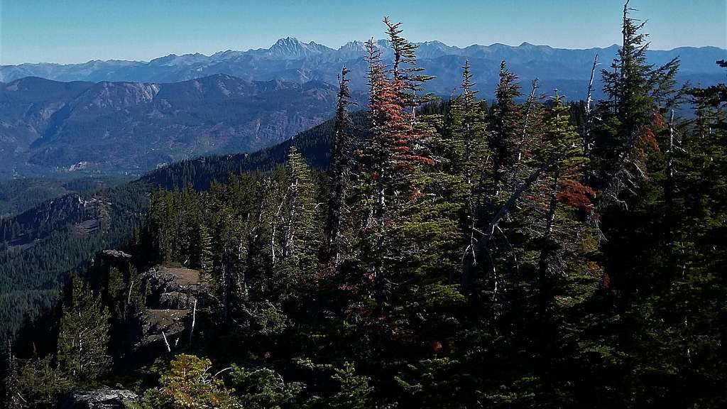
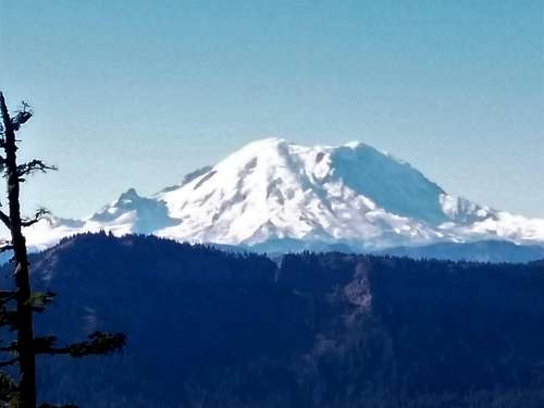
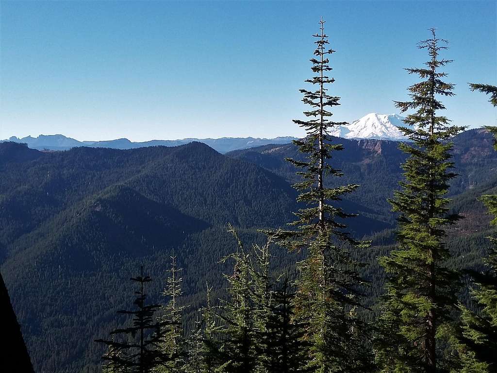
Cole Butte located southeast of Snoqualmie Pass is a cool little known summit that is big on views. It largely does not receive traffic because get up there requires a strong high clearance truck to get up to the trailhead. Cole Butte is popular with some prominence peakbaggers because it has 1700 feet of prominence. It is also very far away from civilization and is located in an area that compared to the Enchantments is not very visited. If you can successfully get up to the trailhead in your truck the hike to the summit is only 3.5 miles and 700 feet round-trip. The views from the top towards Mount Stuart, the Snoqualmie area and Mount Rainier are excellent. I wouldn't go as far to say that it is a complete panorama but the views excellent none the less. This hike is also very worthwhile only on a clear day. Many continue on to the lower Goat Peak or head to the very recently logged Cole Butte West when they come to visit this peak.
Getting There
TO THE GOAT PEAK TRAILHEAD: Take I-90 to exit 62 which is noted to Stampede Pass. Head south for three miles to FR 41 which is just before Stampede Pass. Make a left, and take FR 41 for 10 miles. You will pass by many side road so stay focused on the main road. At around 10 miles make a right on FR 4110. Stay on 4110 for four miles. You will go over Log Creek a couple of times. At the height of land between the Log Creek and Big Creek you will run into intersection). Make a left on FR 118 (sign hard to see) and take it roughly 3 miles to the high trailhead for Goat Peak at just over 5,000 feet. NOTE FR 118 requires a high clearance vehicle and there is no exaggeration here. The road is in somewhat decent condition but the waterbars are huge and will destroy a passenger car and some lower clearance SUV's.
Route
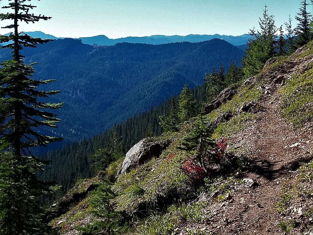
The route to the summit is very straight forward. Take the Goat Peak trail from 1.75 miles as it rises and lowers over a couple false summits. You will know you hit the true summit by the obvious bare rock on your left hand side with a summit survey marker on top and stunning views to the north. Though the trail is short and not to steep at all the footing for trail has been slippery from some of the recent mountain biking in the area.
Red Tape
There is no read tape for this hike. As long as you got a high clearance vehicle you should be okay.
When to Climb
Anytime you can get to the general area of the mountain. That will be summer and fall. In winter you would need a snowmobile to get even remotely close to the trailhead.
Camping
Camping here is leave no trace. There are some pull off on the drive up that would be great places to camp.
External Links
Great website of this peak and neighboring Goat Peak from Eric Willhite!
Cole Butte Benchmark Peakbagger Page

