
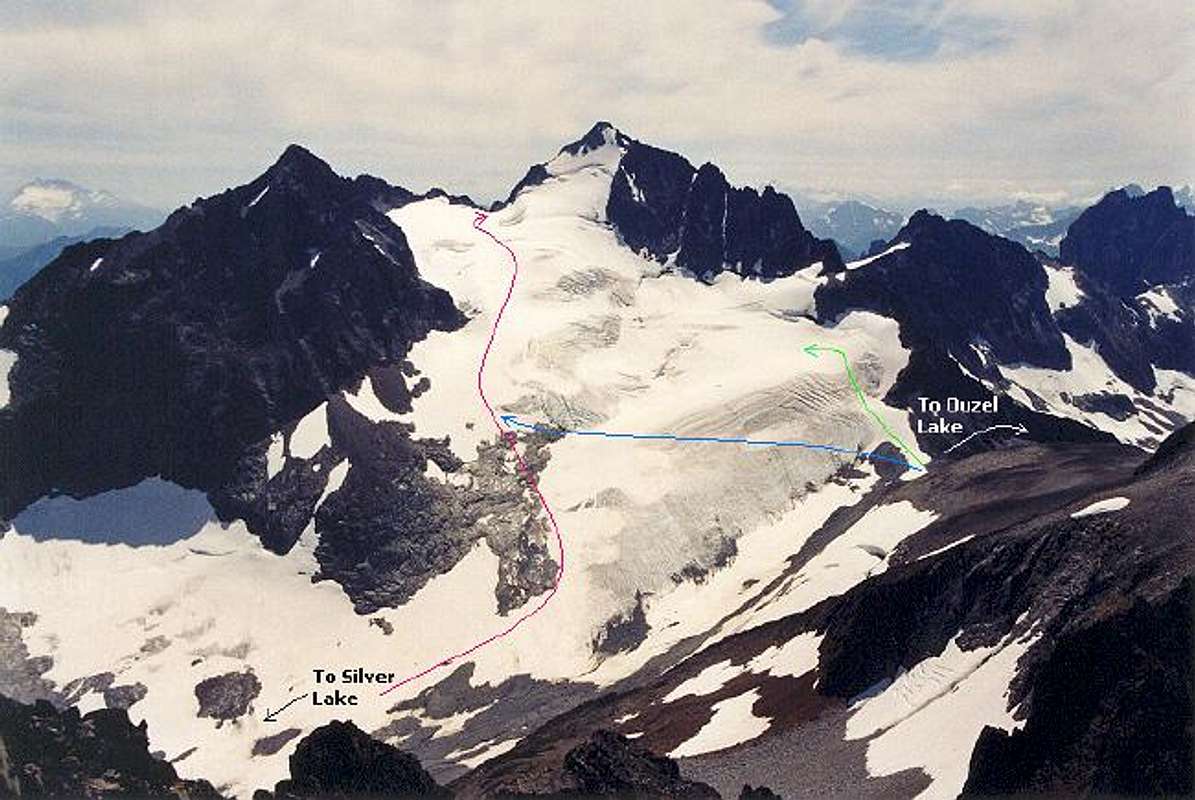
Annotated view of the routes...
Annotated view of the routes up the Silver Glacier. Pink line comes in from Silver Lake. The pink line was basically our route. Blue line is the angle over to the easier terrain on the left side of the glacier. There were tracks going that way, more or less. Green line hints at a possible easier bypass around the ice exposures down low.
"Solitude Peak" and Hard Mox at right. August 3, 2003.


