-
 31526 Hits
-
 91.45% Score
-
 35 Votes
|
|
Area/Range |
|---|---|
|
|
48.00463°N / 113.508°W |
|
|
Hiking, Mountaineering |
|
|
Spring, Summer, Fall, Winter |
|
|
8705 ft / 2653 m |
|
|
Meeting the Great Bear
Layout designed for best viewing on a "1024 x 768" screen.
Covering a total of just over 286,000 acres the Great Bear Wilderness lies between Glacier National Park to the east and The Flathead Valley and Hungry Horse Reservoir to the west and to the north of the Bob Marshall Wilderness.
The Great Bear Wilderness is part of the 1.5 million-acre Bob Marshall Wilderness Complex.
This area contains the densest population of grizzly bears left in the contiguous United States.
There have been at least two notorious grizzlies in these parts. One of them, Two Toes, lived at the turn of the 20th century and was a natural born killer. He ranged from the Great Bear Wilderness to the Mission Mountains and killed over 55 range cattle before being killed in 1906. The other, the Giefer Grizzly, broke into over 50 cabins along the North Fork of the Flathead River after being removed from the Great Bear Wilderness. He evaded capture after being released and met his demise north of the Canadian border when a trophy hunter shot him.
There a lot of grizzly bears in the Great Bear Wilderness!
My family could certainly attest to this. My grandfather, Harry Rose, who was an outfitter in the Bob Marshall, had a run-in with a sow grizzly and her two cubs in the 1970’s. My grandparents had homesteaded on a mountain in the Bigfork, MT area. One night a noise woke them and after checking out the sound Harry discovered a sow grizzly was killing his livestock. It ended poorly for the sow and her two cubs were recovered and placed in a zoo. The incident made the local papers. Before condemning Harry for killing a grizzly keep in mind that in Montana we have a right to protect our livestock. Harry did not do anything wrong when he shot that bear. He was initially charged by the Montana Department of Fish and Game with killing a protected animal out of season and spotlighting. He had a court date and after all of the testimony the judge that heard the case dropped all of the charges. And now the rest of the story: It turned out that this bear was a problem bear from another area and the Montana Fish and Game transferred her from one area to another that was less populated hoping she would stay out of trouble. According to “official” records this sow grizzly and her cubs traveled over three mountain ranges and swam two major rivers to reach my grandparent’s homestead. This is a distance of over 50 miles. The “official” report states that she was released in the Great Bear Wilderness two days prior to her run-in with Harry. My grandfather believed that the “actual” truth is much less dramatic. He believed that the sow and cubs were released on the very mountain where he lived. This belief was “unofficially” confirmed by other members of the community. Another not so close encounter occurred in 2002. On a warm spring day my family and another family decided to hike to Skiumah Lake in the Great Bear Wilderness. During the hike I had never seen the amount of “fresh” sign that we had seen that day without seeing a bear. There were lukewarm piles of scat and upon return from the beautiful lake we had griz tracks on top of our tracks. Certainly exciting although my wife did not agree with me on that! |
This incredible roadless area is very often passed by while climbers are en-route to other more notable areas such as Glacier National Park’s Two Medicine Valley and Many Glacier. It is also bypassed by other recreationists who are on their way to Montana’s Bob Marshall Wilderness via either the South or Middle Forks of the Flathead River or by angler’s traveling to the famed Blackfoot Indian Reservation to catch bragging sized rainbows.
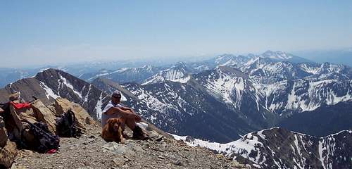
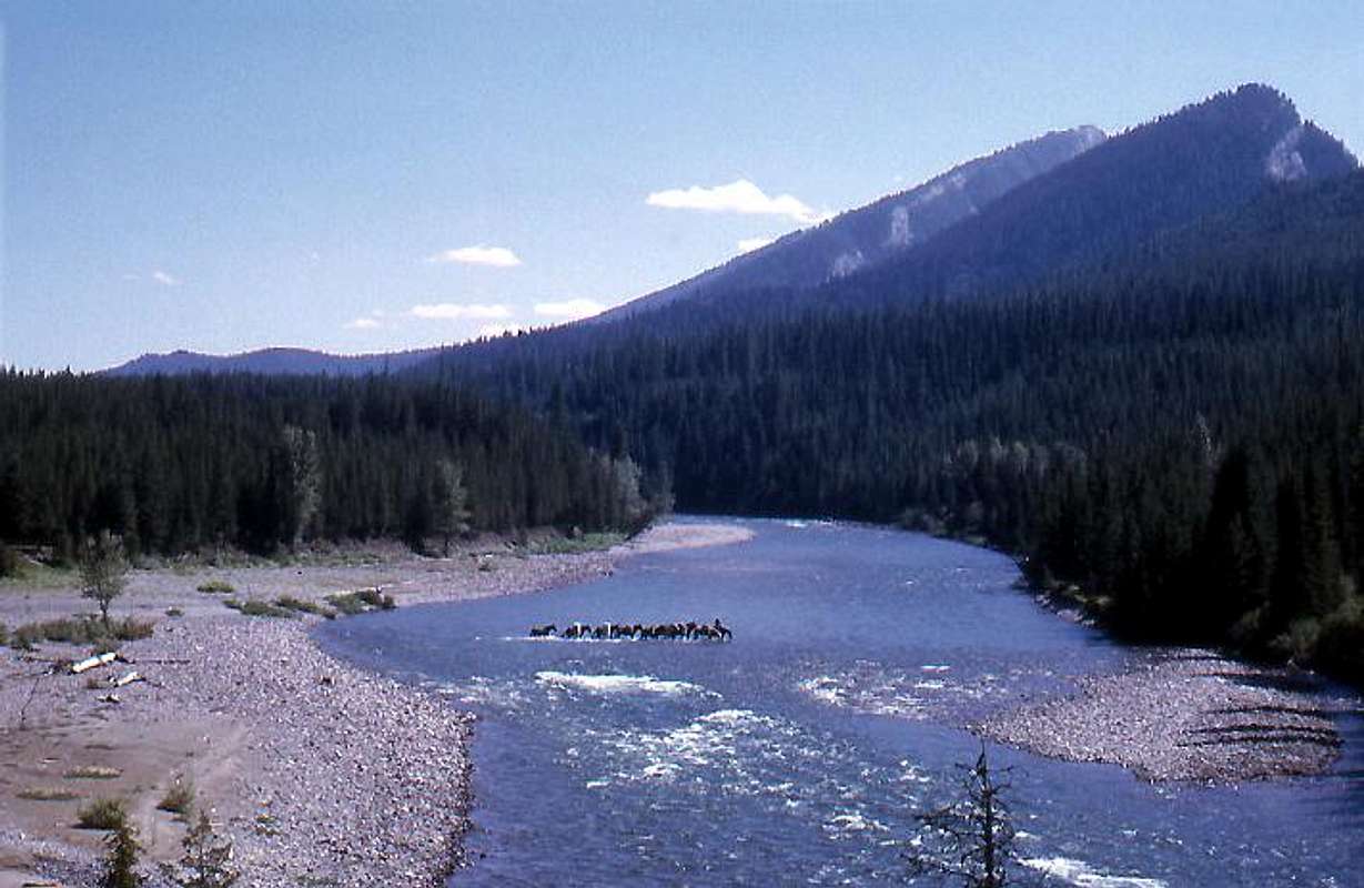
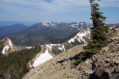
The headwaters of Middle Fork of the Flathead River are located in the southern portion of the Great Bear Wilderness. This vast area has few established trails and rises close to 4,000 feet from the valley floor to the highest point in the Great Bear which is Great Northern Mountain which stands at 8,705 feet.
Beginnings of the Great Bear Wilderness
In September of 1964 the U.S. Congress passed The Wilderness Act which provided a vehicle to designate certain areas for preservation of wilderness.
In 1978 the Great Bear Wilderness was designated wilderness and protected a total of 286,700 acres of wild remote land in northwestern Montana. By designation it is totally roadless and allows only foot and four-footed traffic on the 300 or so miles of trails.
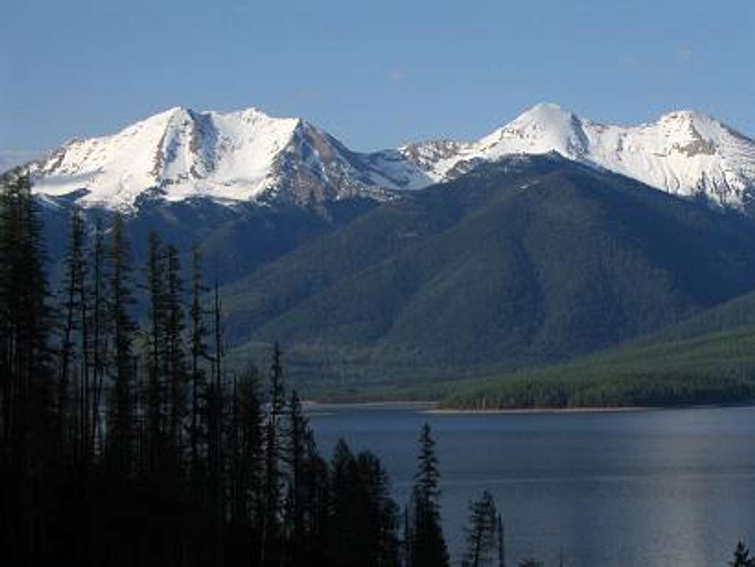
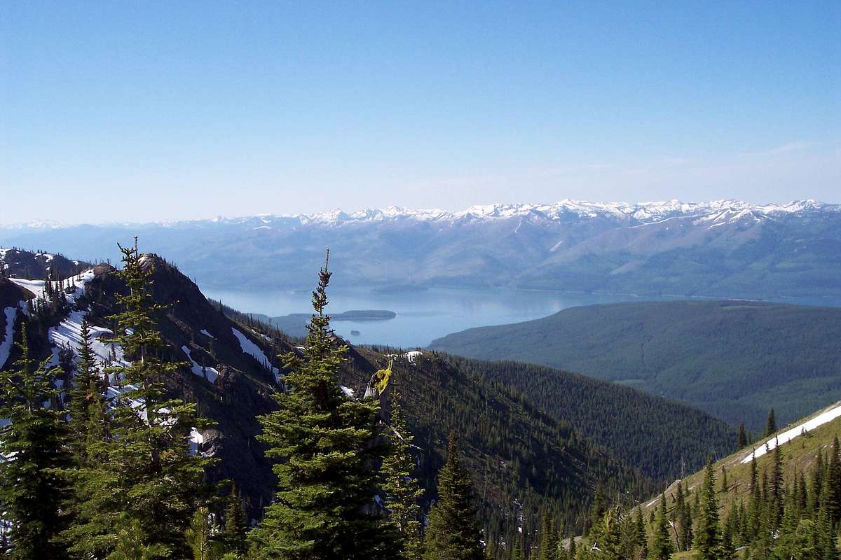
Hungry Horse Reservoir can be seen from many of the peaks in the Great Bear Wilderness. The reservoir was created by Hungry Horse Dam which was completed in 1953 by the US Corp of Engineers. The dam has a total plant capacity of 428 megawatts of power. The dam blocks the South Fork of the Flathead River creating a reservoir that is over 34 miles long and provides recreational access to boaters and camper along its shores. In an average year, this water will generate about 4.6 billion kilowatt-hours of power as it passes through a series of downstream powerplants.
The Great Bear Wilderness was created in honor of Lee Mecalf, an influential U. S. Senator that served from 1961 to 1978 from the great State of Montana. Jimmy Carter, XXXIX President of the United States: 1977-1981 Great Bear and Bob Marshall Wildernesses in Montana Statement on Signing H.R. 13972 Into Law. October 30,1978 "I am very pleased to sign H.R. 13972, which designates the Great Bear Wilderness and enlarges the Bob Marshall Wilderness in the State of Montana. This act adds 345,771 acres of some of Montana's most rugged and beautiful backcountry to the National Wilderness Preservation System. The area is comprised of mountainous terrain with outstanding scenic, watershed, wildlife, and primitive recreation values. It forms a critical ecological link between Glacier National Park and the Bob Marshall Wilderness and protects a large segment of the Flathead River. Establishment of the Great Bear Wilderness is the product of years of work by a tireless and dedicated conservationist, the late Senator Lee Metcalf of Montana. He introduced the legislation leading to the wilderness study of the area. And now, thanks to the effort of his wife, Donna Metcalf, and his colleagues in the Senate and House of Representatives, another of the Nation's most beautiful pristine areas will receive appropriate protection and recognition as part of the National Wilderness Preservation System. I am proud to honor Senator Metcalf's memory in signing this important bill." Source: The American Presidency Project |
The Views from There
Red Tape
The common “Tread Lightly” techniques for wildland usage apply in the Great Bear Wilderness and of course “Pack It In- Pack It Out.”
Foot travel and pack animals are the only allowable means of transportation in the Great Bear Wilderness. For a list of all of the regulation please visit Great Bear Wilderness Regulations.
Getting There
The Great Bear Wilderness is located in Northwestern Montana.
The best times to visit the Great Bear Wilderness are from Late June to the middle of October.
Travel into the Great Bear can be accomplished any time of the year but be prepared for large amounts of snow, cold temperatures and difficult terrain.
Plan on spending just a few more days than you planned to take in all of the things there are to do while visiting. While it is difficult to get to Montana it is worth the effort.
Montana is a long way from most places. That’s why many of us live here.
It is possible to get here by:
By Air: Glacier International Airport or Missoula International Airport serve as the air hubs for northwestern Montana. Don't let the "International" fool you these are small airports but Horizon, Delta Connection and Northwest Airlines service this area.
By Bus: Northwest Montana is served by bus service.
By Rail: Amtrak arrives daily from Minneapolis or Seattle stops in East Glacier, Essex, West Glacier and Whitefish.
By Road: The major highways serving northwest Montana include U.S. Highway 2 running east and west past the eastside of the Great Bear and running north to south are U. S. Highway 93 and Montana Highway 83.
Rental cars can be secured in Missoula and in the Flathead Valley at or near both airports. See Car Rentals in Montana.
Chartering a private plane to Schaffer Meadow, Montana’s only wilderness airstrip, will shave a few days off of a trip to the south eastern portion of the Great Bear Wilderness. Trails fan out from there allowing access into areas that are difficult to reach by trail.
Follow this YouTube link for an interesting vies of the Great Bear Wilderness and a float trip down the Middle Fork of the Flathead River.
For a “plane’s eye” view see Approach to Schaffer.
Peaks and Planes: The Essex Mishap
In Montana there are planes and there are mountains. Most of the time mixing the two together results in terrible tragedies. The Essex Mishap is a story of tragedy and amazing survival. On September 20, 2004 the United States Forest Service chartered a Cessna 206 to fly from Glacier Park International Airport, Kalispell, MT, to the Schafer Meadows Airstrip in the Great Bear Wilderness. Aboard the plane were the pilot and four Forest Service employees. After a protracted delay due to weather the plane left and the short flight through the Bad Rock Canyon to West Glacier, Montana was uneventful. Upon reaching the Middle Fork of the Flathead River at West Glacier the flight plan called for following U.S. Highway 2 to just past Essex, MT and then continue up the Middle Fork to the Schaffer Airstrip. This was done due to poor weather conditions with low clouds and intermixed sunshine and clouds. Things were going well until for some unexplained reason the plane flew up the Tunnel Creek drainage which was about 5 miles north-northwest of Essex the next point to begin the leg to Schaffer Meadows. According to investigators the plane flew up the drainage and impacted Liebig Mountain at the 6,600-foot level above timberline at the base of a near vertical cliff that extended on up for another 1,500 feet. The plane caught fire upon impact. Upon determination that the plane was overdue a search was launched at 3:30 p.m. and was suspended at 5:25 p.m. due to poor weather. The search commenced again on Tuesday and after the wreckage was located an investigation team was dispatched to the crash site. Upon arrival the Flathead County sheriff said they found no signs such as footprints or written notes that would lead them to believe anyone had walked out. It was concluded that there were no survivors and the families of the victims were notified. Investigators determined that due to the impact there was no way anyone could survive. The sheriff reported that the plane went from “traveling at 100 mph to zero in about 30 to 40 feet.” Searchers tried to recover what was left of the remains and one body was airlifted from the scene before sunset Tuesday. Here is the amazing part of this story. Three passengers survived the crash. They stayed at the crash site until morning until Ken Good died due to his injuries. The two remaining survivors decided to descend to a lower elevation due to the extreme cold (20 degrees Fahrenheit at night) and precipitation with the threat of hypothermia looming. Their goal was to hike out to U.S. Highway 2. They were found by a passing motorist on September 22, 2004 after surviving a plane crash that investigators found the melted wreckage and pronounced the crash unsurvivable. Both survivors were hospitalized and then released. According to the sheriff, they hiked three miles down a steep incline and through “very, very dense” brush. “Three miles doesn’t sound like much,” he said, “but considering their injuries and the terrain they had to go through, it’s amazing.” Here are the names, ages and hometowns of the victims and the survivors of this terrible tragedy. Pilot Jim Long, 60, reportedly tried to push others out of the burning plane before he succumbed to the fire. Passenger Davita Bryant, 32, of Whitefish, MT also died from the flames. Ken Good, 58, of Whitefish, MT was pushed out of the plane, but succumbed hours later to burns, shock and a compound fracture to his leg. Jodee Hogg, 23, of Billings, MT and Matthew Ramige, 30, of Jackson, Wyo., walked out of the woods. |
Peaks Overview
With names like Devils Hump, Circus Peak, Unawah Mountain, Spy Mountain, Vinegar Mountain and Mount Cameahwait perhaps the Great Bear Wilderness could win the award for most interesting mountain names in Montana.
Mount Cameahwait is named for Cameahwait the brother of Sacagawea. Cameahwait was a Shoshone chief. Alana J. White wrote in Sacagawea that “When the Corps came around them he sat Clark down on a white robe and tied white shells resembling pearls in Clark's red hair. Then the men took off their moccasins and smoked the pipe that went around as a sign of peace. When they held a council they had Sacagawea interpret. But then she jumped up and hugged Cameahwait it turned out that the Chief was her brother. That is when Sacagawea found out that everyone in her family except her brother and her nephew had died. The Chief promised to trade for horses and that was a big help to the Corps.”
Cameahwait, whom Clark called "a man of Influence Sence & easey & reserved manners, [who] appears to possess a great deel of Cincerity," seems to be speaking softly to the 6-month-old baby. The Chief is wearing a tippet, that "most eligant peice of Indian dress," much like the one he later gave to Meriwether Lewis. From Lewis and Clark.org.
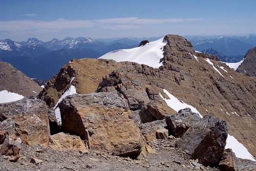
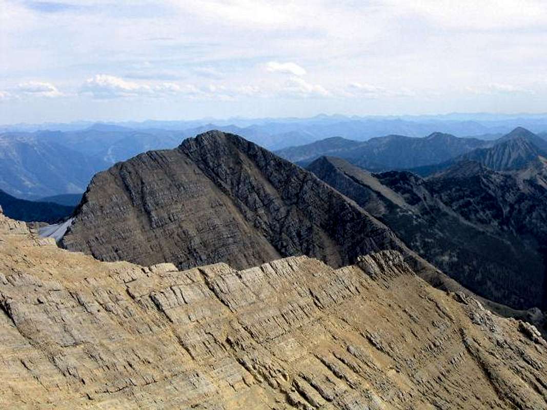
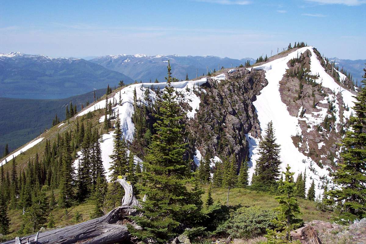
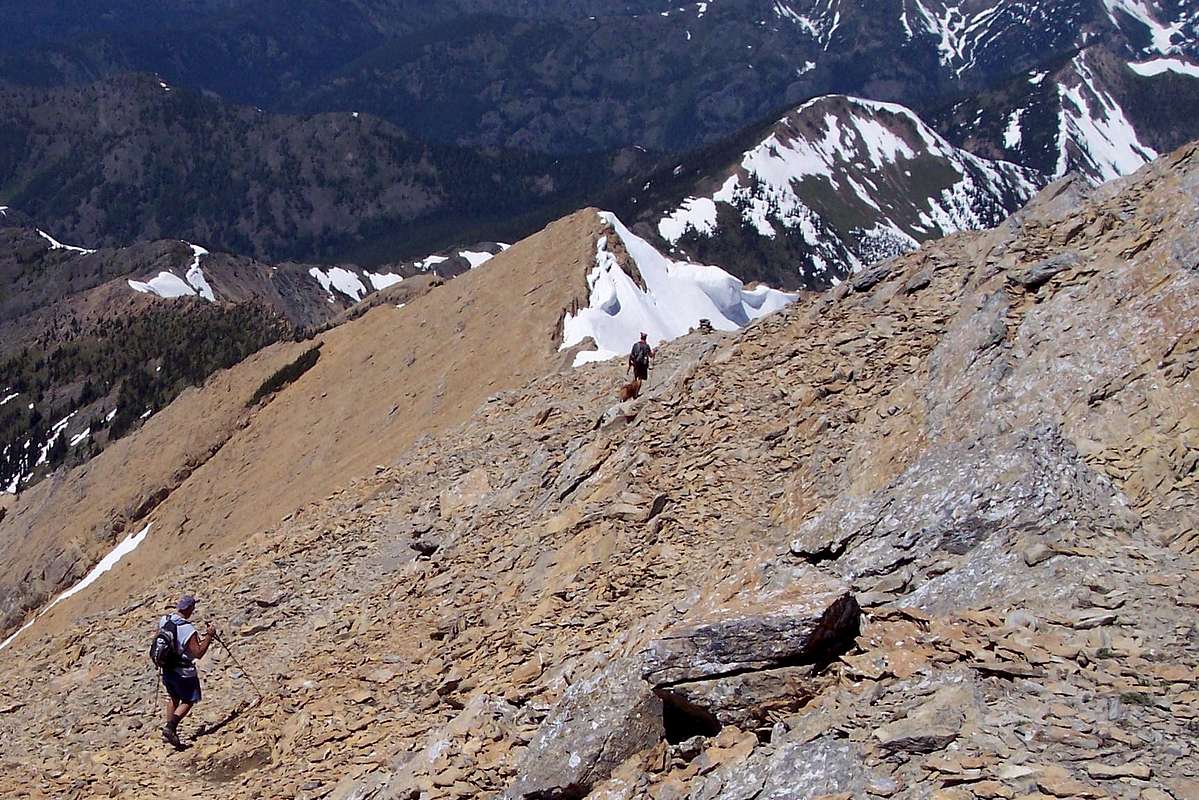
From the highest peak Great Northern Mountain at 8,705 feet to the lowest Beacon Mountain at just over 5,300 feet, the Great Bear Wilderness presents some interesting opportunities climbing. From hiking trails to summits such as Ousel Peak, following climber’s trails to Great Northern, off trail bushwhacks to summits from many of the lakes and navigating to summits along the many ridges above timberline the Great Bear has it all.
There are at least 50 named peaks in the Great Bear Wilderness.
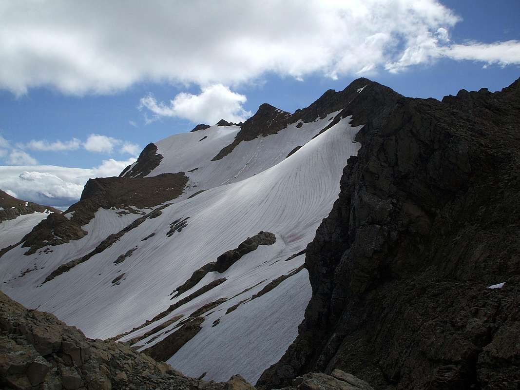
Great Northern Mountain is the highest peak in The Great Bear Wilderness. Reaching the top of Great Northern Mountain and its closest neighbor, Mount Grant, is a difficult route but reaching the trailhead is relatively worry-free and can easily be done just by parking a car and starting the climb.
Most of the peaks in the central and southern zones require planning and multiple days to reach the summits.
Access to the Great Bear Wilderness is by trails originating from forest roads located in the major drainages to the northeast and southwest. Major roads adjacent to the Great Bear include U.S. Highway 2 to the east and National Forest Service Road #38 along the eastside of Hungry Horse Reservoir.
The following table shows the named peaks in the Great Bear Wilderness. The colors corresponds to the zones found on the map to the right.
Northern Zone = Maroon
Central Zone = Orange
Southern Zone = Red
Great Bear Wilderness trailheads are designated by TH which links to the trailhead for that peak.
</table >Hiking the TrailsIf climbing through devil’s club and wading though brush that is impenetrable is not your idea of an enjoyable trip plan on sticking with the trails or game trails to access the timberline. Upon reaching timberline it is possible to walk along ridges and gain access to other peaks and valleys. Access to the Great Bear Wilderness is by trails originating from Forest Service roads located in the major drainages to the east and west. Major roads adjacent to the Great Bear include U.S. Highway 2 to the east and to the west National Forest Service Road #38 along the eastside of Hungry Horse Reservoir. For a single map that covers the whole area locate the Bob Marshall, Great Bear Wilderness,and Scapegoat Wilderness Complex. This map can be purchased at most Montana offices of the U.S. National Forest Service as well as most local sporting good stores.There are a number of trailheads on the eastern side of the Great Bear Wilderness along U.S. Highway 2. A drive up the eastside of Hungry Horse Reservoir will provide access to the west central portions and by continuing to the Spotted Bear Ranger Station and campground access to the south western portion can be achieved.Fauna and FloraIn this rugged country live wolverine, mule deer, elk, shiras moose, grizzly bear, black bear, mountain lion, wolf, mountain goats. 
Westslope Cutthroat Trout 
Bull TroutAs with all hiking and climbing in Montana and the Great Bear Wilderness use caution and practice good manners with the wildlife. You are in bear country. Carry bear deterrent spray, don’t hike alone and make some noise. For more information please go to the Glacier National Park's website for Bear Information. The U.S. Forest Service also has helpful information on Grizzly Bear Management.The fish living in South Fork of the Flathead are Westslope Cutthroat and Bull Trout which are protected from invasion of non-native Lake Trout and Rainbow Trout by Hungry Horse Dam. The Middle Fork of the Flathead River is designated “wild” under the National Wild and Scenic River System. The Great Bear has the usual Montana alpine trees and flowers. They are similar to those found in Glacier National Park.Where to StayIf climbing on the west side of the Great Bear Wilderness there are many campsites along the Hungry Horse Reservoir. Camping on the U.S. Highway 2 side is more problematic. Although there are numerous river access points along the Middle Fork of the Flathead River there actually are not any Forest Service campgrounds along the Middle Fork until just east of Glacier National Park on U.S. Highway 2. After reaching Nimrod the USFS has established three campgrounds: Devil Creek, Fielding and finally Summit at Marias Pass. There is also a USFS Rental Cabin, Zip’s Cabin, on the Westside of Marias Pass.For other local campgrounds follow this link: Local Campgrounds. It will be necessary to search for Campgrounds near Glacier National Park in the search engine on this link. Other alternatives include hotels in West and East Glacier, Montana. Renting a motel room somewhere in the Flathead Valley or consider staying at the Historic Isaac Walton Inn in Essex, Montana.EquipmentIn addition to the usual scrambling gear hiking poles, extra water and lots of stamina are needed for trips into the Great Bear Wilderness. If planning extended trips plan on the usual gear for camping etc.Don't forget the bear deterrent spray. It can be purchased at most sporting goods stores.If an early or late season climb is desired plan on dealing with snow and carry the necessary ice axe, crampons and avalanche gear.External LinksAvalanche InformationFlathead National ForestMontana Fishing License
| Summit Name and Location in Colored Zone | Elevation in Feet | Summit Name and Location in Colored Zone | Elevation in Feet |
|---|---|---|---|
| Great Northern Mountain, TH | 8,705 | Union Mountain | 7,601 |
| Mount Grant, TH | 8,590 | Trinity Mountain | 7,589 |
| Mount Baptiste | 8,396 | Triangle Peak | 7,554 |
| Trilobite Peak | 8,245 | Soakem Mountain | 7,534 |
| Red Sky Mountain | 8,173 | Snowshed Mountain, TH | 7,525 |
| Argosy Mountain | 8,155 | Pyramid Peak | 7,399 |
| Mount Liebig | 8,057 | Mount Furlong, TH | 7,393 |
| Felix Peak | 7,996 | Elk Mountain, TH | 7,389 |
| Red Plume Mountain | 7,947 | Twin Peak | 7,386 |
| Unawah Mountain, TH | 7,888 | Mount Bradley | 7,357 |
| Mount Cameahwait, TH | 7,879 | Whitcomb Peak | 7,306 |
| Mount Penrose | 7,875 | Condor Peak | 7,266 |
| Forester Mountain, TH | 7,872 | Wildrose Mountain | 7,257 |
| Capitol Mountain | 7,868 | Bent Mountain | 7,243 |
| Prospector Peak | 7,850 | Tent Mountain | 7,207 |
| Circus Peak | 7,829 | Dry Park Peak | 7,196 |
| Horseshoe Peak | 7,774 | Hematite Mountain | 7,192 |
| Nyack Mountain | 7,750 | Ousel Peak | 7,157 |
| Gable Peaks | 7,698 | Vinegar Mountain, TH | 7,131 |
| Mount Adams, TH | 7,690 | Spy Mountain | 7,096 |
| Shadow Mountain | 7,689 | Chair Mountain | 7,063 |
| Pot Mountain | 7,674 | Arrowhead Mountain | 6,915 |
| Great Bear Mountain | 7,668 | Java Mountain, TH | 6,816 |
| Devils Hump, TH | 7,667 | Crossover Mountain | 6,624 |
| Big Lodge Mountain | 7,657 | Helmet Peak | 5,619 |
 |
|||
 |


