
Viewing: 1-1 of 1

CameronGround - Sep 3, 2016 12:57 am - Voted 10/10
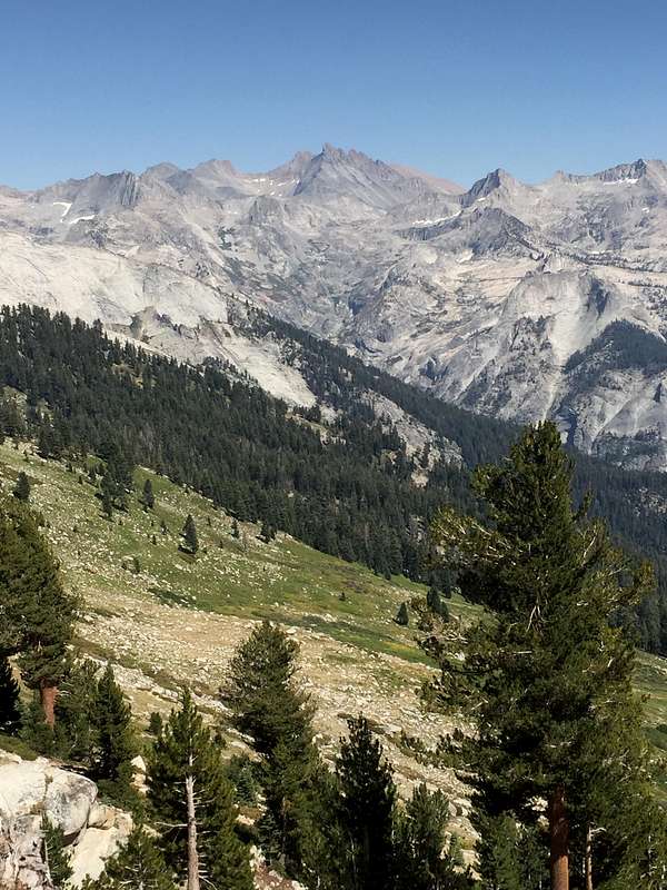
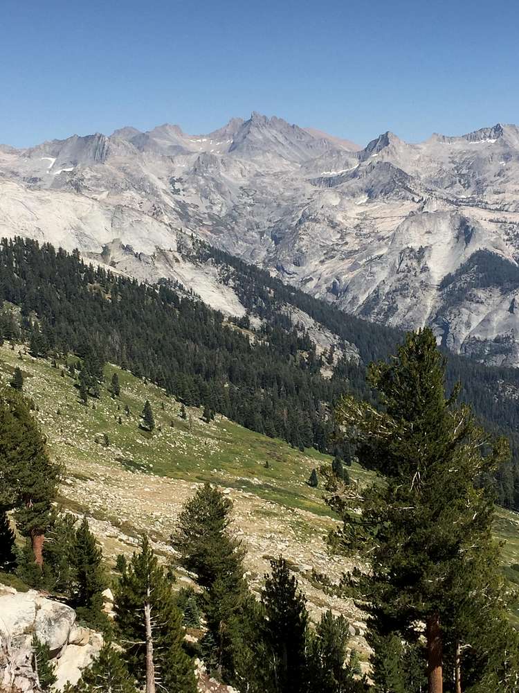
Identifying PeaksOne thing you might be interested in trying is using Google Earth to identify peaks. You can go to the spot you took the photo and enter ground level view, look in the direction the photo was taken, and you should see your photo recreated by the 3D terrain map. You can spot a peak from the photo's perspective, then keep your eye on it as you change the view to get closer to the peak to locate or identify it. You can cross reference topo maps using caltopo for peaks that aren't named within GE. The terrain is pretty accurate if you're within a decent distance of the peaks of interest, if you're too far away you can move closer while maintaining the same point of view.
Viewing: 1-1 of 1


Comments
Post a Comment