View in "Orig" for better detail.
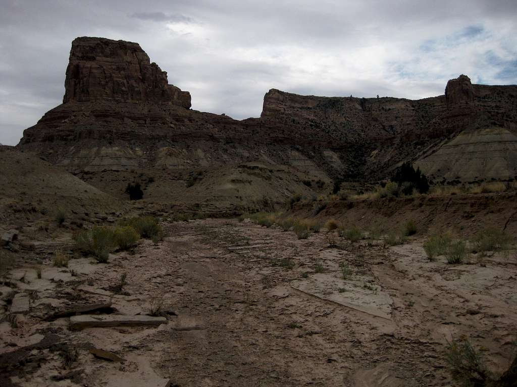
Bottleneck Peak is on the left; Bottleneck Mesaoutcrop is on the right, though the summit outcrop is not visible. The small "peak" in the center is at the northern end of the summit plateau, and although some Class 4 routes allow you to descend from it, you cannot get to the saddle unless you are roping up or can solo downclimb moderate-to-difficult Class 5 rock.
My route up the peak was basically to follow this wash a short distance to another wash and then follow that wash to the steep, rocky gully right of center. From there, it was another short wash walk until once again branching off to follow a narrower, steeper wash almost to the top. The gully had a dryfall at the top that was just high and sheer enough to preclude a direct climb, so I used Class 3/4 to its left, though an easier way appeared to exist a little to the right. The last push to the summit plateau was through the area just left of the tower seen on the right, and that was Class 3 going.
San Rafael Swell, Utah-- October 2009


