-
 2148 Hits
-
 75.81% Score
-
 6 Votes
|
|
Mountain/Rock |
|---|---|
|
|
Hiking |
|
|
Spring, Summer, Fall, Winter |
|
|
5951 ft / 1814 m |
|
|
Overview
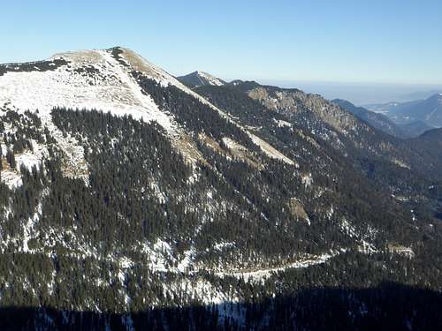
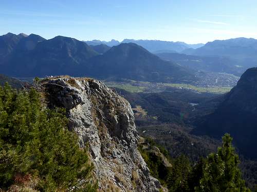
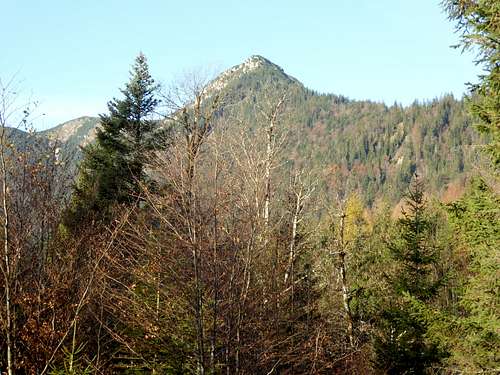
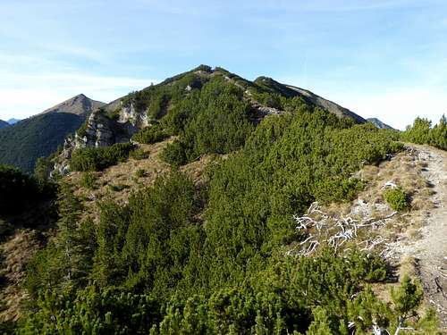
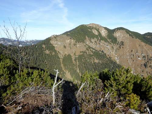
Brünstelkopf is a hidden champion within Ammergauer Alpen. Hidden, because the mountain is not very prominent and a bit lower than the surrounding summits and peaks. Champion, because it is not a wellknown hiking summit and thus a more lonely outing within the well known and frequented Ammergauer Alpen and because there are several traverse options for good hikers.
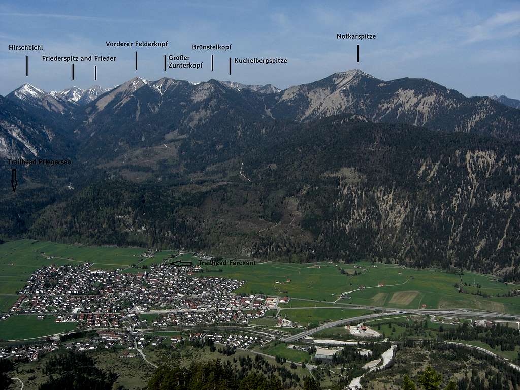
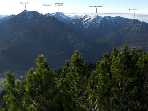
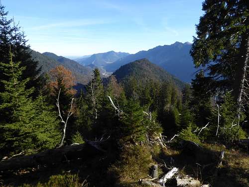
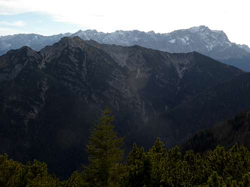
Brünstelkopf is located in the easternmost part of Ammergauer Alpen. To the north, linked with a ridge, there is well known Notkarspitze, to the west, equally linked with a ridge, you find Großer Zunderkopf and Vorderer Felderkopf. To the south you find Kramer or Kramerspitz, separated by Enningalm valley.
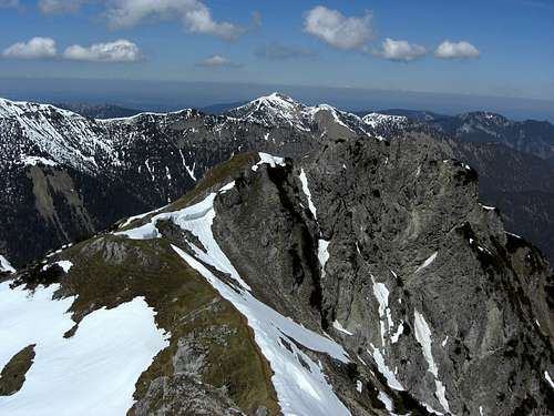
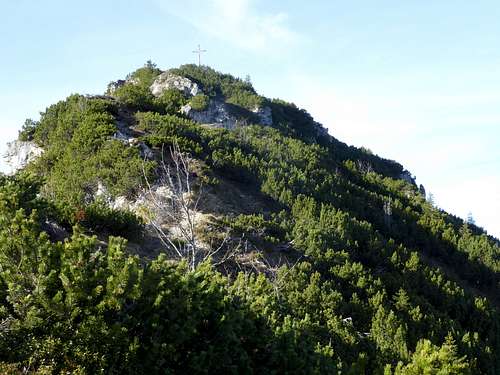
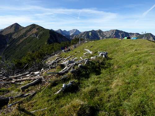
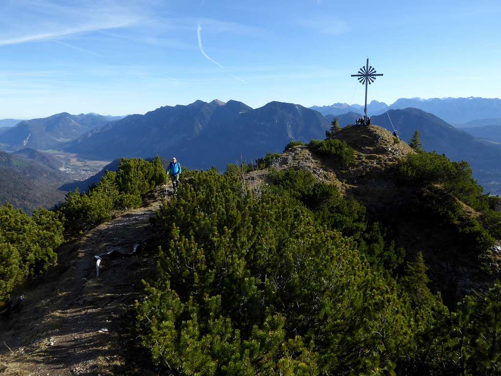
Brünstelkopf has two summits, an eastern one with a summit cross, logically called Brünstelkreuz (Brünstel summit cross), illogically, too, called Herrentisch (mens desk) in some older topographic maps, and a western one with a nice little summit meadow.
Which brings us to the denomination Brünstel. It derives from the german Brunst or Brunft, which means rut. In late autumn you will always hear some stags being in their rut season and their low rumbling calls sound intimidatingly across the slopes and ridges of the area.
Getting There
The general approach by car is
- from Munich using highway A 95 to its end and continuing on road number B 2.
For trailheads Ettaler Sattel and Graswang:
- turn on road number B 23 at Oberau and follow the road up to Ettaler Sattel. There is a hiker parking area (fee required) at the col on the left hand side of the road.
- for Graswang continue on B 23 through the village of Ettal and turn left after the village on road number St2026 until you reach Graswang. Turn left on Schattenwaldweg where the hiker parking area is indicated.
For trailhead Farchant follow road B 2 to the road junction for Farchant. Enter the village and turn right on the road Am Gern and then Spielleitenweg until you reach the parking area left of the road.
For trailhead Pflegersee follow road number B 2 to the end of the long road tunnel and follow the indication for Garmisch (road B 23). Enter Garmisch and turn right at the Grandhotel Sonnbichel and right again on Pflegerseestrasse. Follow this road until you reach Pflegersee hiker parking area.
Public transportation
- Farchant can be reached directly by railroad. It is about 800 meters from the railway station to the trailhead.
- For trailhead Ettaler Sattel: next railroad station is Oberau. Busses number 9606 and 9607 go to bus stop Ettal Am Berg, about 350 meters north of the trailhead.
- For trailhead Graswang next railroad station is at Oberammergau. Bus number 9622 goes to bus stop Graswang / Gröblalm, about 100 m from the trailhead.
Routes Overview
There are four main trailheads for Brünstelkopf and two traverse routes to mention:
Trailhead Farchant: Hikers parking area Spielleitenweg
Trailhead Pflegersee: Hikers parking area Pflegersee
Trailhead Graswang: Hikers parking area Schattenwald
Trailhead Ettal: Hikers parking area Ettaler Sattel
From trailhead Farchant:
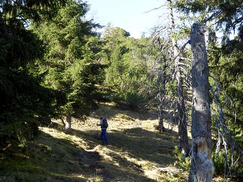
Follow Spielleitenweg road to a childrens playground at a nice small waterfall. Ascend the left hand trail zigzagging up and crossing some forest roads. Follow the signs to Giessenbachsattel and hike up the east ridge of Brünstelkopf to Brünstelkreuz summit and the western main summit.
From trailhead Pflegersee:
Follow the forest road into the valley of Lahnenwiesgraben. After that take the left hand forest road and follow it up to Giessenbachsattel. The east ridge trail goes up to the Brünstelkreuz and Brünstelkopf main summit.
From trailhead Graswang:
Cross the Linder creek and follow the forest road for a good time up to Kuhalm service hut and to the end of the forest road.
Alternatively follow Linder creek until you arrive at Dickelschwaig forest service center. Enter the woods and follow the trail climbing up Kühalpenbach valley to the Kuhalm service hut. Join the forest road and follow it to its end.
A trail branches off there to the left and goes up to Hasenjöchl col between Brünstelkopf and Notkarspitze. Follow the north ridge trail up to Brünstelkopf.
Trailhead Ettaler Sattel:
At the parking area take the left hand forest road and follow it into Giessenbach valley. A trail starts at the end of the road, crosses Giessenbach and zigzags up in the direction of Giessenbachsattel. Your reach the col on another forest road. Turn right there and follow the east ridge trail to the summits.
Traverse route 1:
Ettaler Sattel trailhead – Notkarspitze – Hasenjöchl col – Brünstelkopf and Brünstelkreuz – Giessenbachsattel – Giessenbach valley – trailhead.
Traverse route 2:
This is an extension of my route “The Directors cut or the Ammergau Seven Summits” SP user mvs did it once and called it “the extended version”.
Instead of ascending directly and partly off-trail to the col between Brünstelkopf and Großer Zunderkopf you follow the trail up to Hasenjöchl col, climb Brünstelkopf via the north ridge and continue on the Bünstelkopf west ridge trail to the above mentioned col between our summit and Großer Zunderkopf. About one hour longer than my version and thus a veeerrryyyy looooong day!
Red Tape & Accommodation
The German part of Ammergau Alps is a protected area (Naturpark Ammergauer Alpen)
There are no entrance fees or permissions required.
Please follow the below indicated rules:

Ammergau Alps contain many rare plant species, please respect them. Take nice pictures and let them grow.
Accommodation:
No mountain huts existing around Brünstelkopf
Gear & Mountain Condition
Brünstelkopf is mainly a hiker summit. Good shoes and hiking gear is sufficient.
The two mentioned traverse options are long hiking outings and require a bit of stamina.
Weather condition:
Valley weather (Farchant):
Mountain weather (Nortkarspitze):
Maps
Alpenvereinskarte Bayerische Alpen, scale 1 : 25.000
number BY 7, Ammergebirge Ost, Pürschling, Hörnle
edition 2009, with trails and UTM grid
Topographische Karte, scale 1 : 50000,
number UK 50-50
Werdenfelser Land, Ammergebirge
Landesamt für Vermessung und Geoinformation, München


