|
|
Trip Report |
|---|---|
|
|
35.78958°N / 82.19794°W |
|
|
Mar 17, 2014 |
SE Six-Pack (With Two Left Behind)
We headed south to pick up more peaks in our quest for state high points. However, on this trip, we tasted defeat for the first time at the hands of weather and timing.
Brasstown Bald, GA
Zach and I left Minnesota on the second day of our spring break to head for the SE Six-Pack. When we left Minneapolis, it was about 15 degrees, but we took bicycles in hopes that they might provide entertainment and a means to get to any summits where the roads are closed. The journey south was uneventful, with overnight stops at my parents house in Wisconsin and Land Between the Lakes in Kentucky, where the gate attendant for the campground was incredulous that two yankees were going to pitch a tent in 25 degree weather.
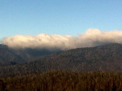
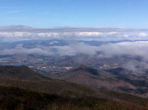
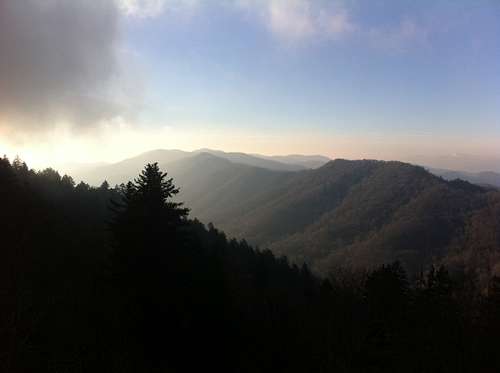
We woke up to a layer of frost on the tent thick enough that it did not melt until we set up the tent that next night in South Carolina, and we got of of LBtL and headed south towards Georgia. It was pleasantly warm when we arrived at the parking lot for Brasstown Bald just after lunch, and we took a quick stroll up the paved path through the rhododendrons and arrived on top after just a few minutes. The clouds were breaking up, and the views from the pavilion were excellent. The geological marker was nowhere to be found; I heard a rumor that it was hidden in a broom closet or something.
We camped in a state park at the foot of Sassafras Mtn. and watched the clouds and fog roll in.
Sassafras Mountain, SC and Mt. Mitchell NC
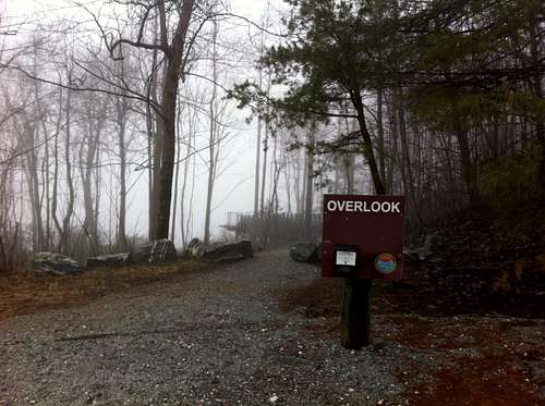
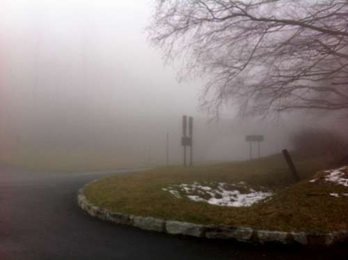
The fog was as thick as pea soup when we drove the road up to the deserted high point of South Carolina. To be fair, the views weren't much to write home about, so we didn't stay too long.
We took our obligatory pictures and headed away from there and into North Carolina, where the reports were not encouraging on whether the road up Mt. Mitchell was open or closed. Evidently, someone in NC saw a snowflake still on the ground, so when we arrived at the Blue Ridge Parkway, it was closed.
I unloaded a bike from the back of the truck and made a game attempt to bike to the summit, but it was cold and windy and foggy, and that road was crazy steep. I turned back after a little while and decided to make Mitchell the first mountain to make it onto my "list". Zach and I headed for a campground in GSMNP to lick our emotional wounds and try to clear our heads from the winding mountain roads.
Clingman's Dome, TN and Mt. Rogers, VA
We awoke the next morning more queasy than ever, and drove up to Newfound Gap to see how we felt.
The road to Clingman's Dome was closed and weren't feeling any better, so we had to make the decision to move on from Tennessee and hike up Mt. Rogers, Virginia in the afternoon. I didn't feel too bad about this since I would have to come back to the region for Mt. Mitchell, and I had actually summited Clingman's Dome when I was 9 years old, but just wanted to make it official.
We drove to Grayson Highlands State Park and started to set up camp so that we could crash in the tent after we hiked the mountain. I soon had to come up with a different plan, as it was about 40 degrees and the wind was whistling so hard that I couldn't set up the tent. We called an audible and decided to hike Mt. Rogers and then head to a motel in town.
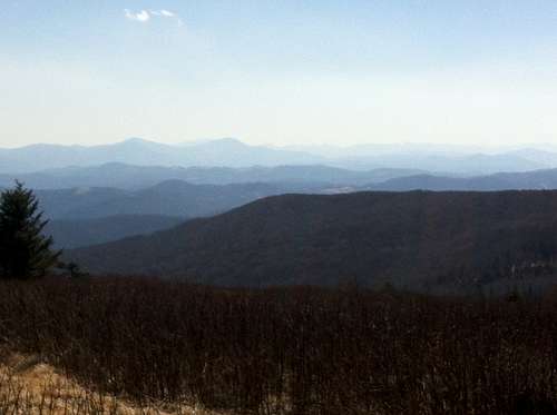
Hiking the mountain was beautiful, but cool and windy. It was also seemingly harder than it had to be. I know that side-hilling isn't the easiest thing in the world, but sending the trail up and over every single knob seemed unnecessary. It took us a few hours, but we reached the spruce-covered top of Virginia and wished that we had an ice axe for the last few feet.
The hike down was tiring enough that the short drive to the interstate almost put us both to sleep. A mattress never felt better!
Black Mountain, Kentucky
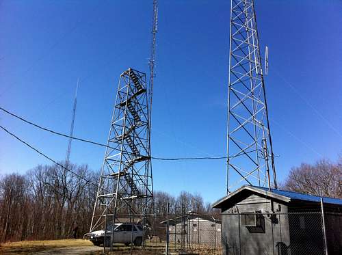
Feeling refreshed the next morning, we drove to Black Mountain. We had the waiver from the coal mining company that allowed us access to the summit, but we did not see another soul on or near the mountain. It seems like far too pretty a spot to clutter up with the amount of radar installations and communication towers, but I guess the bills need to be paid.
By the time we reached a state park near London KY, it was cloudless and over 70 degrees. We played frisbee and catch in the campground and appreciated the springlike conditions. Before we left, we found a plastic army man on the ground. Figuring that this was as accurate a representation of rural Kentucky as anything, we affixed it to the dashboard of the car, where it still leads the charge on road trips.


