-
 19374 Hits
-
 72.08% Score
-
 2 Votes
|
|
Trailhead |
|---|---|
|
|
46.25279°N / 114.24618°W |
|
|
Ravalli |
|
|
Spring, Summer, Fall |
|
|
5073 ft / 1546 m |
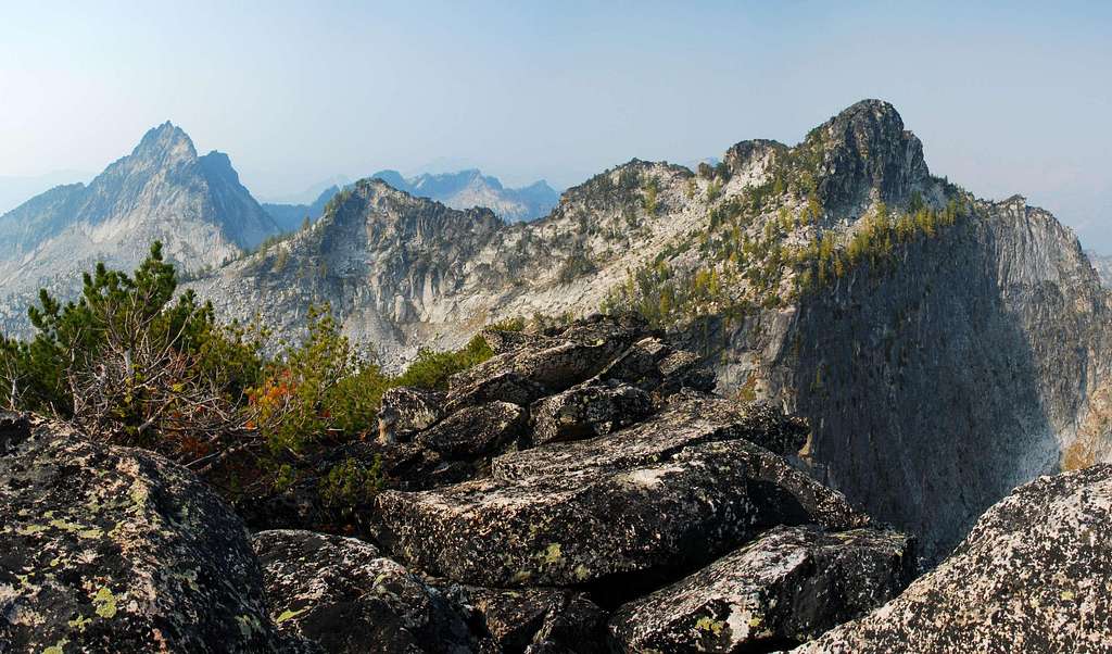
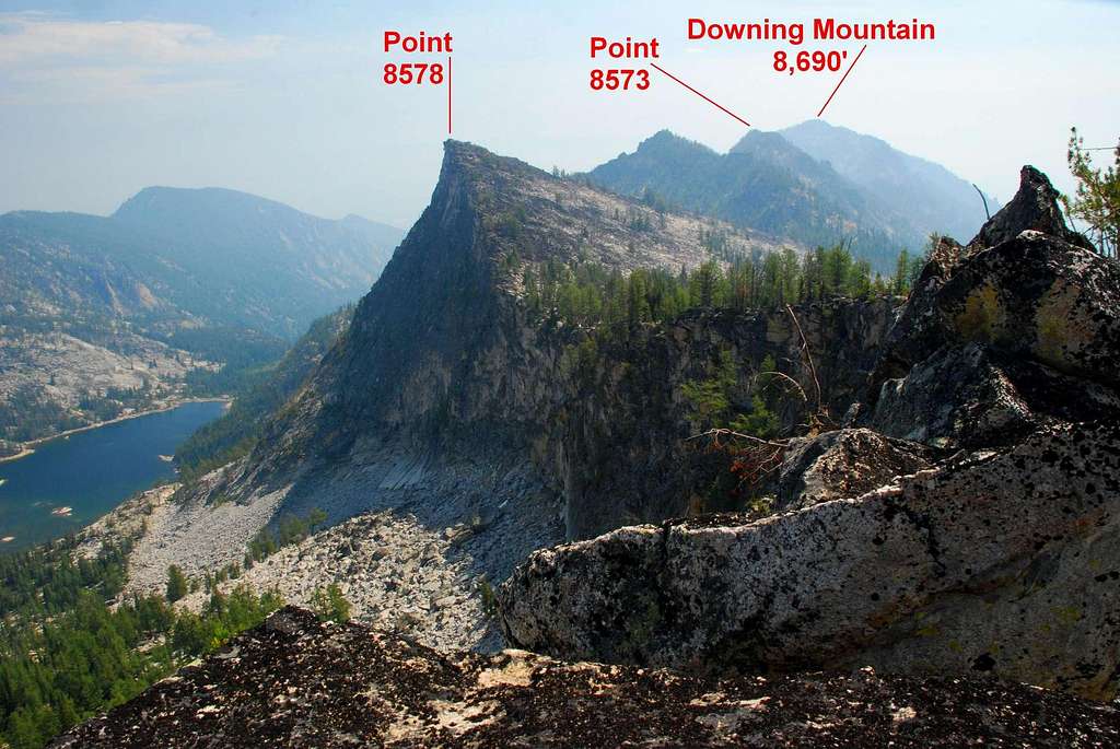
Climbers' Access for Canyon Peak, North Canyon Peak, Wyant Peak, Downing Mountain, and the Romney Ridge Highpoint
Go west on Main Street in Hamilton, MT. As you leave town you will cross a bridge over the Bitterroot River.Immediately after crossing the bridge, turn right (north) onto Ricketts Road.
In about a half mile you will come to an intersection. Turn left (west) onto Blodgett Camp Road.
Drive on Blodgett Camp Road (it will shortly turn to gravel) for about 2.5 miles where you will reach a clearly marked intersection.
Turn left (west) onto the gravel road which dead-ends at the Canyon Creek Trailhead in another couple of miles.
There is ample parking at the trailhead, and since the spring of 2006, there is also an outhouse.
For information about the climbers' routes accessed from this trailhead, see the links included in the pictures' descriptions.
 |
|---|
 |
|---|


