Generated by my
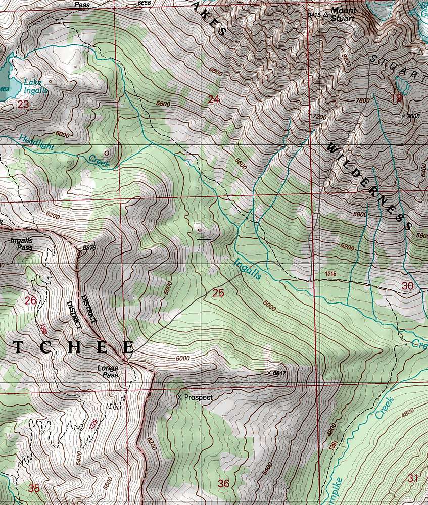
Map Generator, topo details by
Mytopo, and drawn out by me using photo shot elements 6. And yes I carefully observed where I placed the route on the map which I swapped many times from satellite mode and topo mode to help draw it out.
I used grey to draw the route so that it looks better when viewing.


