

Brian Jenkins - Oct 3, 2011 3:44 pm - Voted 10/10
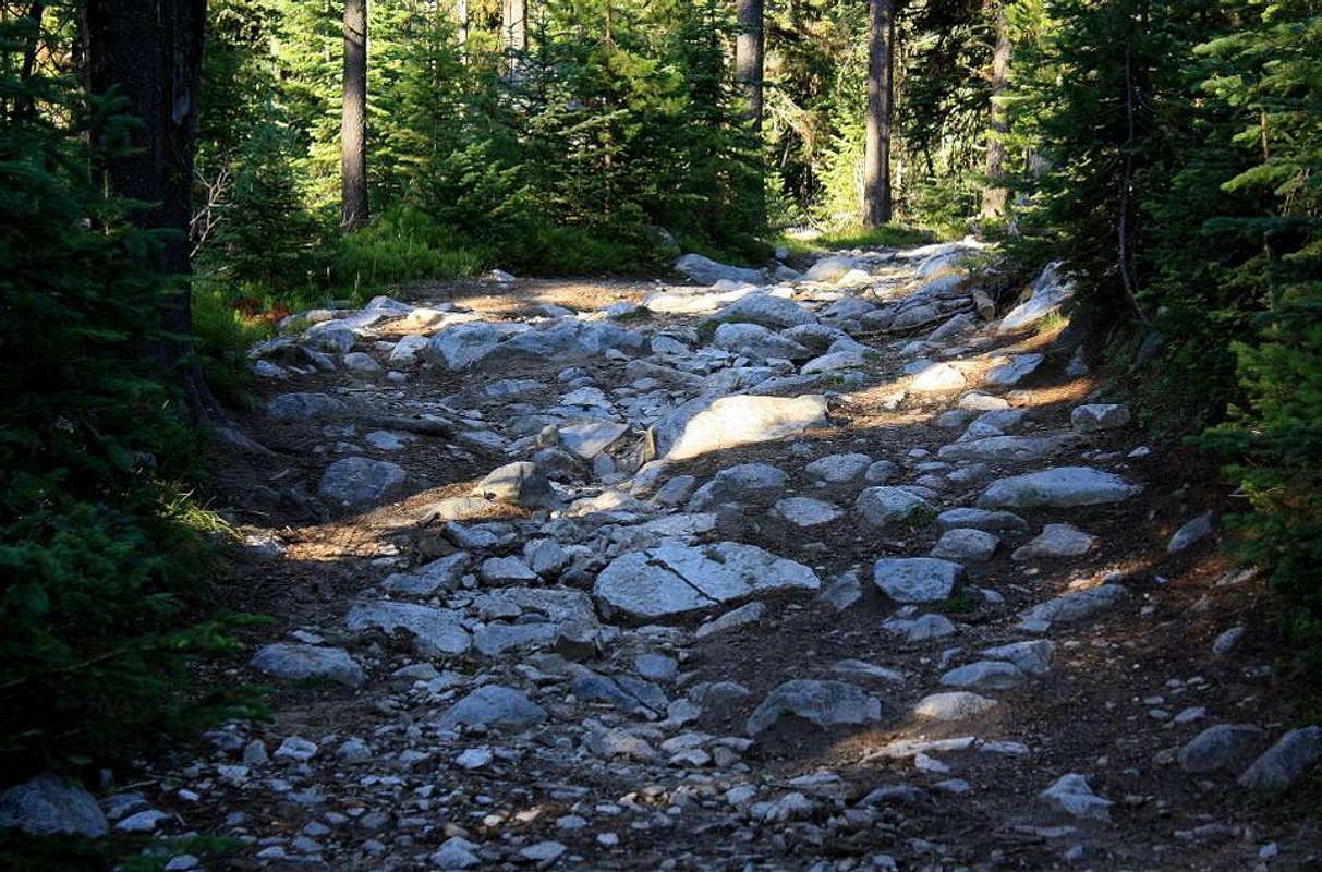
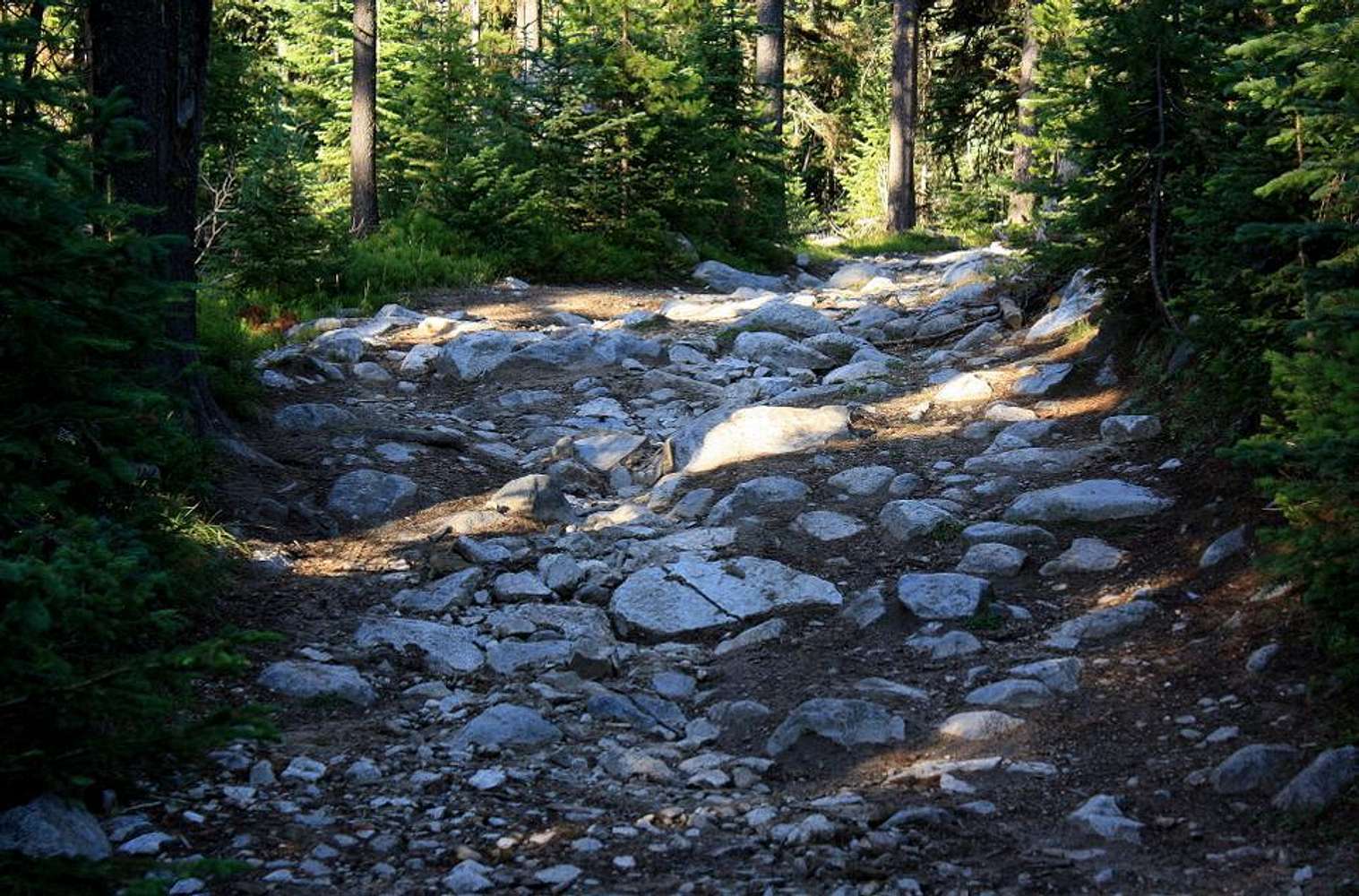
Ugh.I was just in the Elkhorns yesterday doing some peakbagging and was thinking about doing Red and Ruth next. Now maybe, not so much. If this is the way in....

calebEOC - Oct 3, 2011 7:27 pm - Hasn't voted
Re: Ugh.Yeah this road is not to be taken lightly, I have yet to find a worse quality road anywhere. I am going to approach Ruth from Anthony Lakes, and would probably do Red from its north ridge if I couldnt have driven up the road seen above.
What I am wondering, is if the Elkhorn Trail is open to mountain bikes. The sign at the trailhead did not say bikes were prohibited, biking that trail would be a blast.
Brian Jenkins - Oct 4, 2011 10:43 am - Voted 10/10
Re: Ugh.The Elkhorn Crest trail? Yeah, if it is not prohibited, that would be a good way to go.
Do you know of a good map for this area? I noticed some trails that were not on Topo while I was there. Would be good to know where all the trails are for some of these.
Brian
calebEOC - Oct 5, 2011 8:41 pm - Hasn't voted
Re: Ugh.Yeah, I noticed that also. Best bet would be the Forest Service for a Wallowa Whitman map I think.


Comments
Post a Comment