
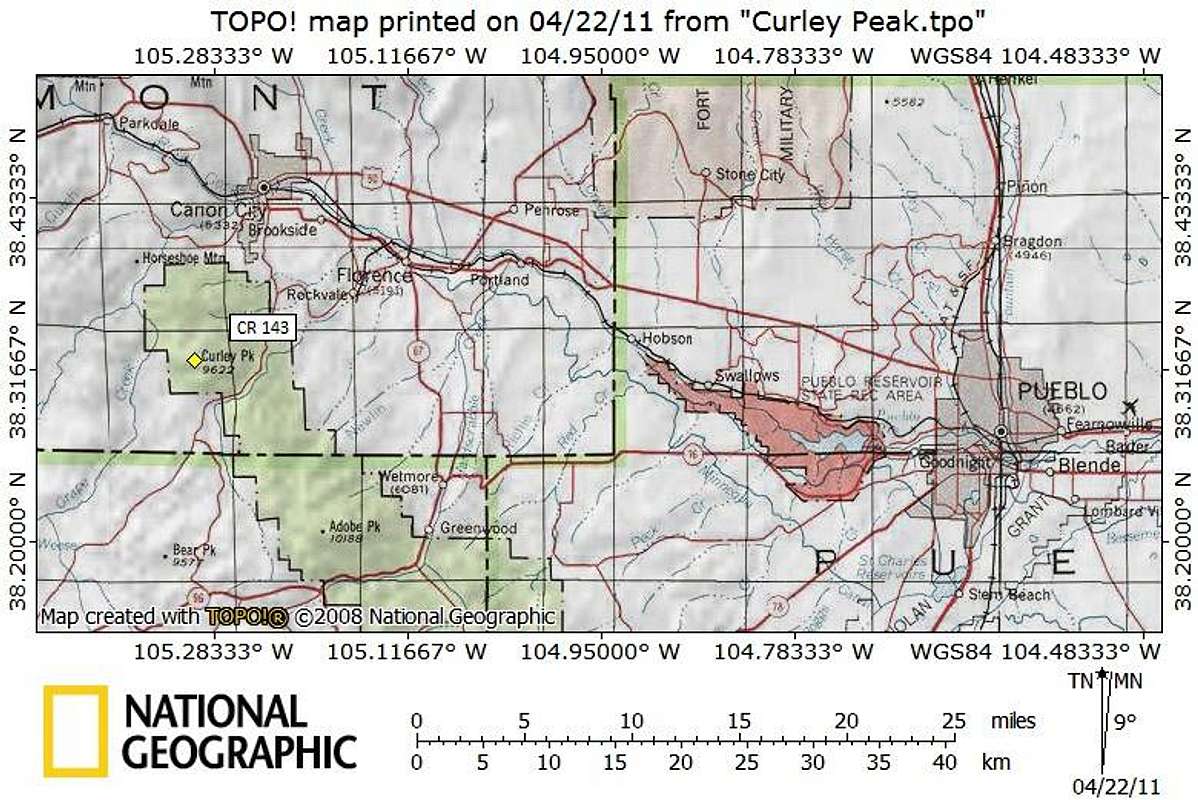
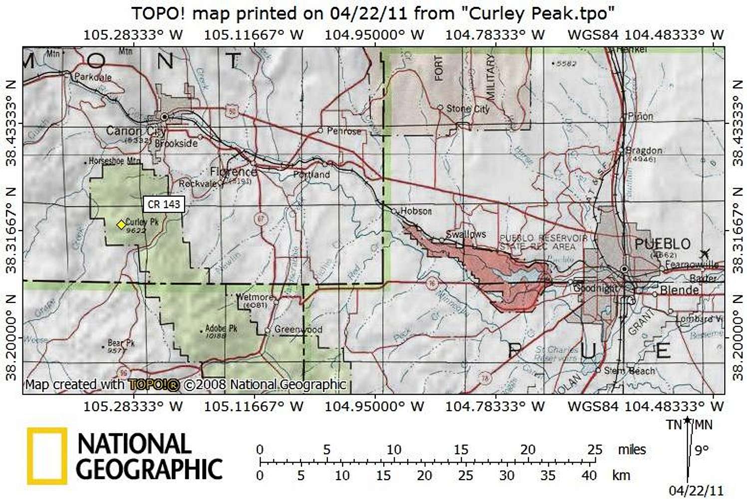
Curley Peak Getting There Map
Curley Peak sits in far southern Fremont County, about 10 miles south of Cañon City, Colorado and 35 miles east as the crow flies from Pueblo, Colorado. Most visitors to Curley Peak will access the mountain via Oak Creek Road (CR 143) running south out of Cañon City. The peak can be accessed via Bear Gulch from the East Bear Trailhead.
Map designed April 2011


