
DATE AND TIME: 112504, 1540;...
DATE AND TIME: 112504, 1540;
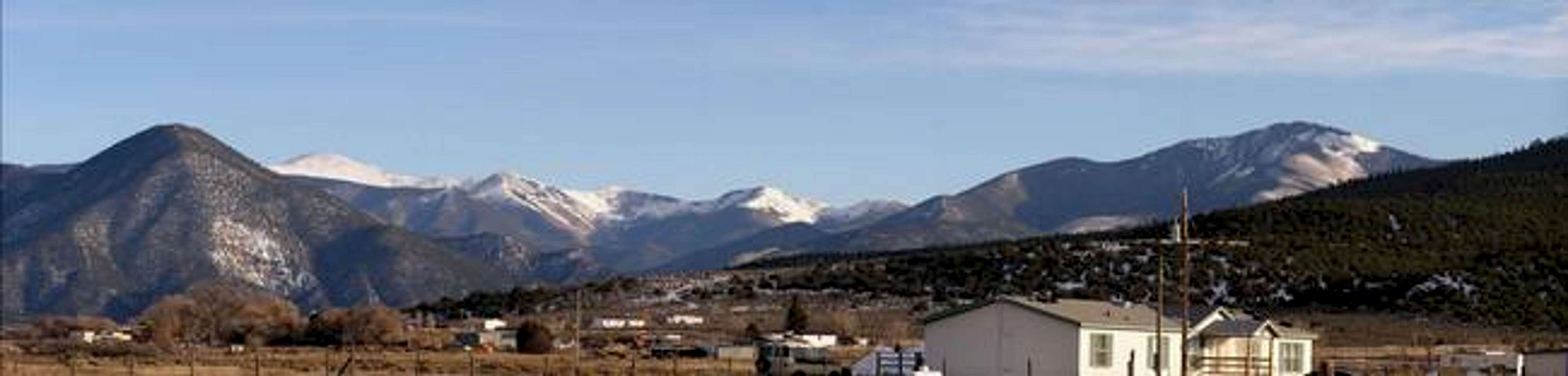
LOCATION: A dirt road that goes direcly north from Cerro to Sunshine Valley (just north of NM-378), facing SE;
CAMERA: Olympus C-740 Ultra Zoom, 10x optical, 3x digital, 3.2 megapixel;
DESCRIPTION: Here is a panoramic image of 12,711-foot Gold Hill (the hump on the left 1/4) and an unknown chain of peaks connecting Gold Hill to Lobo Peak, the latter of which is hidden behind Flag Mountain (right 1/4). Judging from a forest service map, I think Carson National Forest Trail 57 goes through the peaks that are to the right of Gold Hill.


