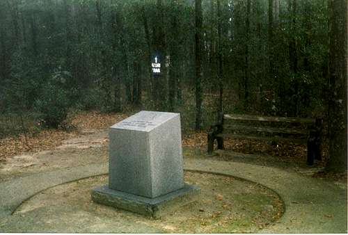
I got my new car from a family member in September of 2002. I was living in Denver, Colorado, and flew out to Delray Beach, Florida (about 90 miles north of Miami), and drove the car back to Colorado. On my way, I figured I would do a couple highpoints, and Florida and Louisiana were on the way back. A hurricane hit once I got past Tallahassee. The rain was extremley heavy at places on I-10, and at some points, I could not see the road. I actually faced rain as bad as this once driving up I-81 in Northeast Pennsylvania, so I could handle it. Early in the afternoon, I made it to rt. 331. I drove about 20 miles north and saw a sign on the right that pointed to the highpoint. I drove for about 2 3/4 miles, and started driving up a steep hill. At the top of the hill was a road sign indicating the highpoint parking lot. On the other side of the road was a pasture land with cows. The hill was a decent way down, and would be a nice hike if you hiked from the base of the hill. The highpoint is in a little park, with some small rustic cabins. The highpoint marker is to straight and to the right of the the parking area. There was a nature trail behind the highpoint marker. The hurricane had subsided by this point in the day, although New Orleans had been hit pretty hard. I drove North into Alabama, where I stayed the night. The next day I did Louisiana.
![Highpoint Monument]() Highpoint Monument
Highpoint Monument
Comments
No comments posted yet.