
-
 3167 Hits
-
 71.06% Score
-
 1 Votes
|
|
Route |
|---|---|
|
|
40.26190°N / 9.43980°E |
|
|
Hike and Scramble |
|
|
Half a day |
|
|
Walk-Up |
|
|
Approach
On SP46, between Dorgali and Oliena turn south at a a sign leading to the chapel of Nostra Signora di Monserrata. Follow the country road for 100m, then turn left. After another 600m turn right and head directly in the direction of Punta Cusidore. At an intersection the road turns left again and you follow it for another 600m. Here the asphalt ends and a gravel road takes you to a little fount. From here start to look for spaces to park your car. The road goes on for another 500m before the ascent trail (still a dirt road) starts climbing steeply upwards to the right.
Route Description
Altitude gain: 1080m
Duration: 2h 30min
Difficulty: I
Trailhead: at the base of Punta Cusidore near Nostra Signora di Monserrata
The first part of the normal route heads along a gravel road until you come to a multiple intersection. The correct trail is the lowest one, marked with neon red dots and arrows (think textmarker). These signs will eventually lead you to the top of Scala di Sovena (and on to Punta Cusidore if you let them) though in some parts of the ascent they are rather sparse. You'll reach a picnic area among some large rocks (warm up for climbing there with some bouldering practise).
From the picnic area a narrow trail leads up to the giant couloir, called Scala di Sovena. There is a lot of gravel and debris in this couloir so that every two steps up will result in one step back on the ascent. The best trail is hard to find - use your own best judgement. We found it best to take the left (east side) of the couloir and only just below the shoulder we traversed to the right. It is within this couloir that all serious climbs up the northwest pillar and the west face of Punta Cusidore start.
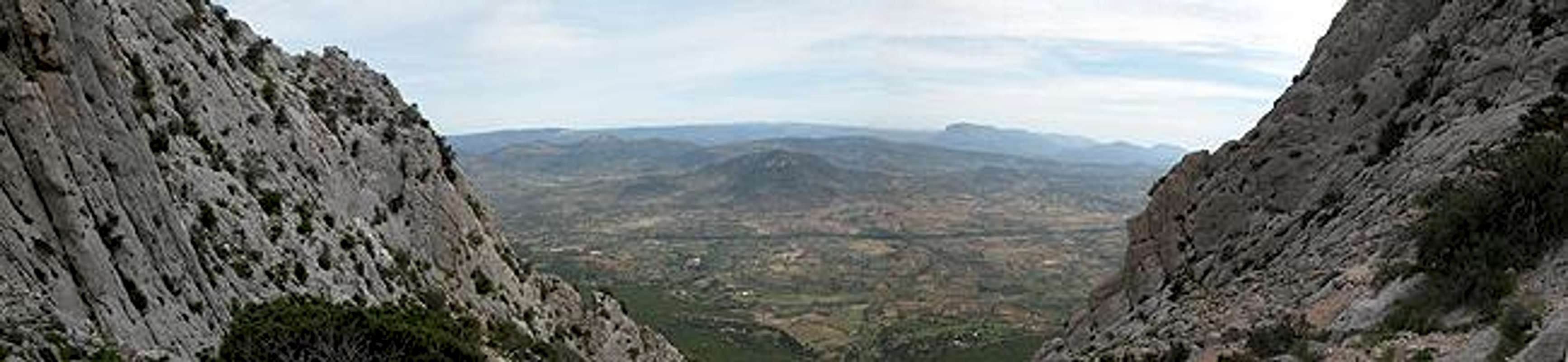
On top of Scala di Sovena turn to your right and follow the Punta sos Nidos south eastern ridge toward the summit. To reach the ridge you either head a little downwards from the Scala or youse a shortcut along a narrow ledge/gully which directly heads up to it. In both cases the going is rather rough on spiky limestone rocks. As you close in on the summit your view broadens and you get all supramonte and Monte Albo summits in your sight.
 |  |
Essential Gear
In principle normal hiking gear is all you need. For the part above Scala di Sovena you'll better use long pants because of the thistles and boots with thick (I mean THICK) soles. The karst sections otherwise take their toll on your feet.