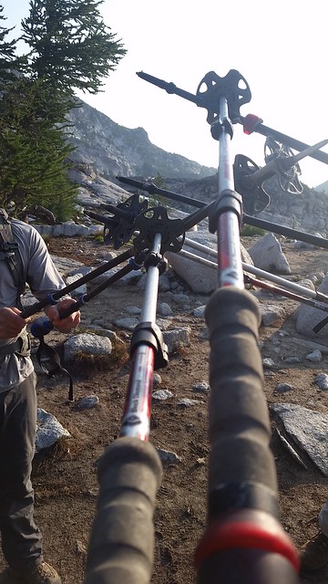
Day 1
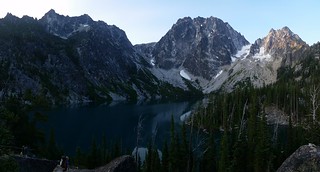
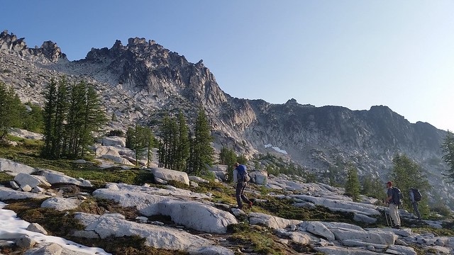
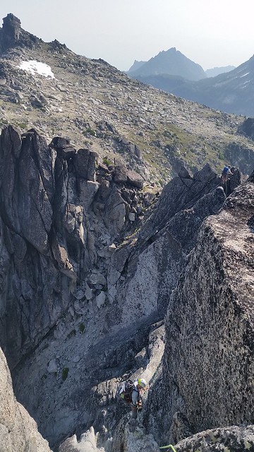
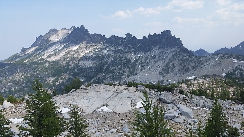
Three of us started early on Tuesday morning so that we could be to the top of Aasgard Pass before the sun hit us. Colin geeked out on a rubber boa we found on the Colchuck Lake Trail. We took a long break by the lake at the base of Aasgard before flying up in two pushes. About 200' below the top we climbed a fun friction slab with two small waterfalls on it. I was expecting similar snow levels to our August trip last year but it became immediately apparent that would not be the case.
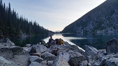
Our planned base camp was waiting for us when we arrived around noon. I write this as we lounge by the creek waiting for Nick to come strolling in, which he did just as the sky began turning orange and pink behind him. It feels great to be back in the core with a strong climbing team, thirsty for adventure!
Day 2
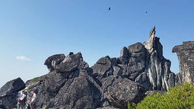
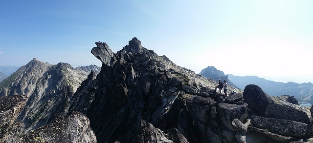
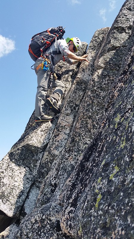
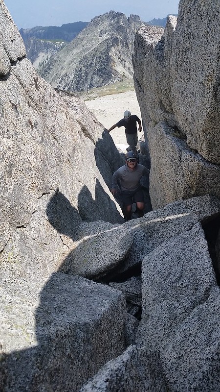
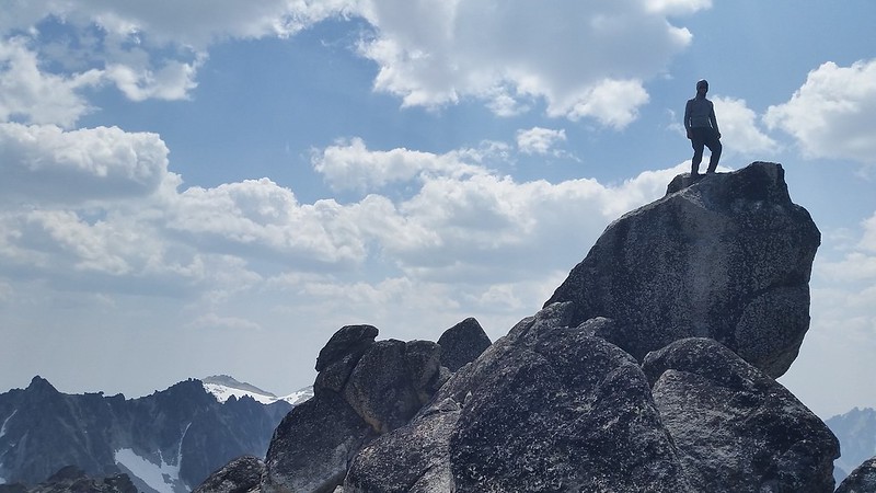
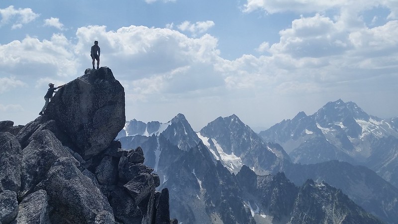
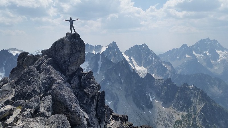
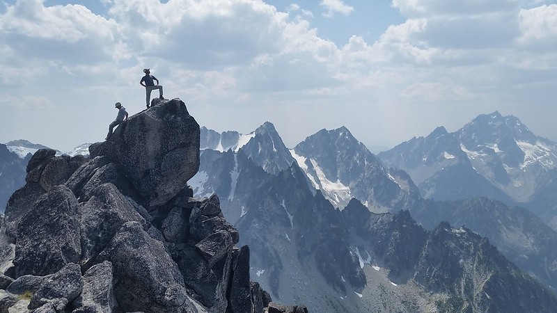
The goals for Wednesday were The Enchantment Peaks and Canon Mountain. Colin and I turned back from the Middle Peak of Enchantment Peaks in 2014 due to wet exposed rock just below the summit. This year we brought a rope and some pro as well as some good weather, it would seem. It took us about 45 minutes to cover the roughly 1/2 mile from camp and scramble up to the giant boulder. Rob climbed the class 4 move to the summit boulder and set a fixed line for the rest of us.
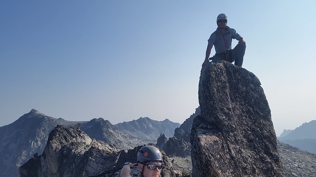
The East Peak was clearly higher but reaching it from our side of the ridge would require some 5th class down-climbing. I belayed nick down to a ledge 40 feet down on the north side and he traversed up and across the ridge, setting pro along the way. Robbie and Colin used prusiks for protection and I cleaned behind them.
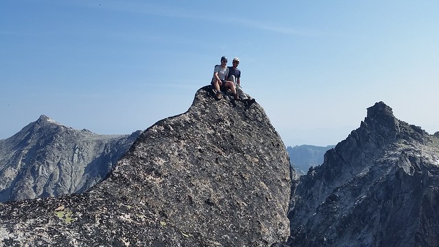
We scrambled up one more peak en route to the true summit, which was also an easy scramble. Pictures, scotch, and snacks, and we were on our way. After decending the Ridgeline towards Prusik Pass for about 1/2 mile we took a chossy gully down to the north and began or way up to Druids Plateau.
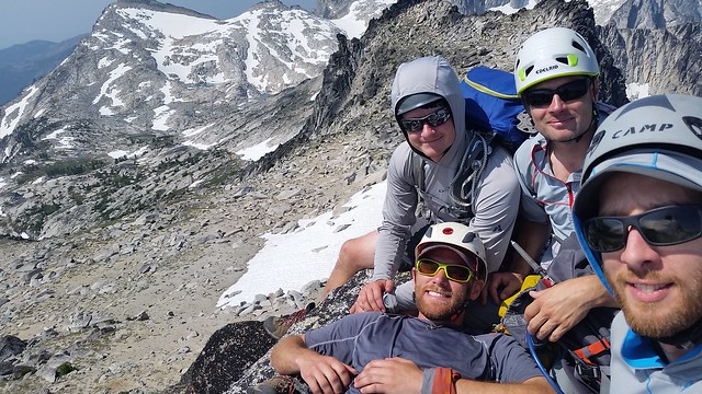
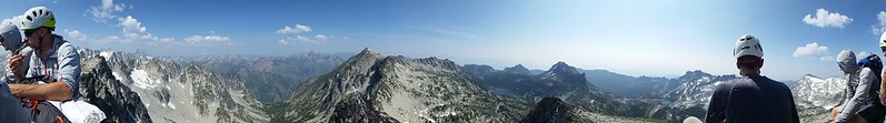
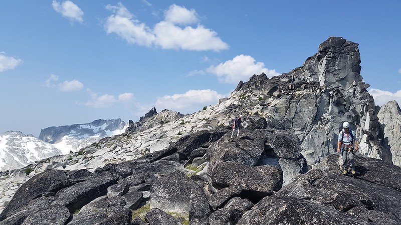
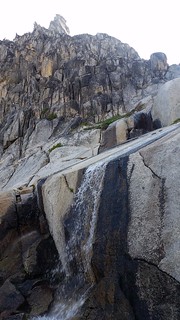
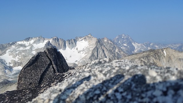
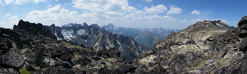
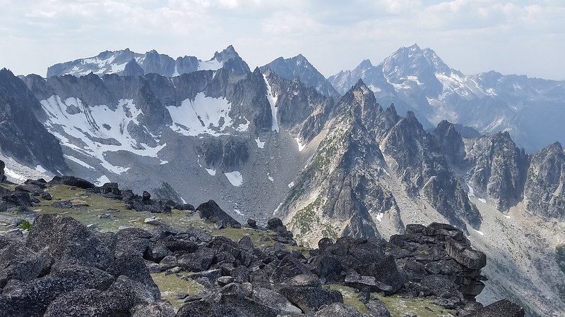
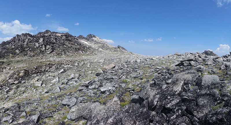
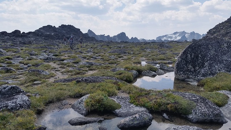
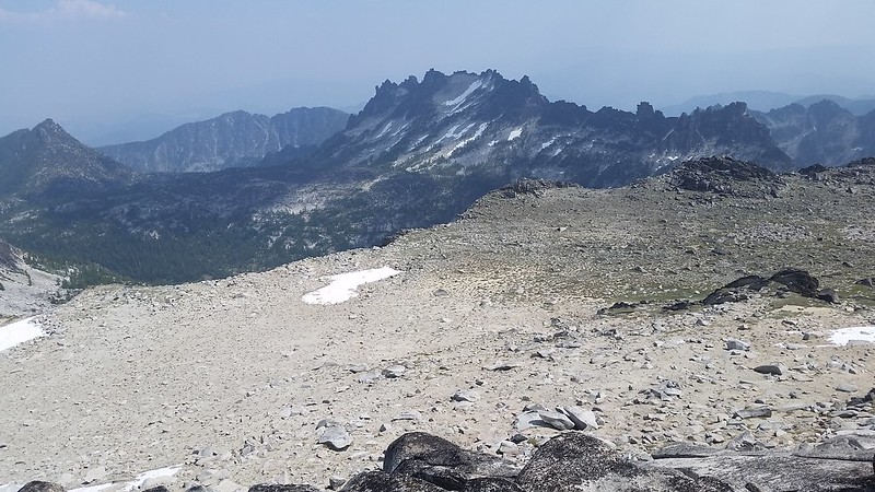
After the recent drought it was no surprise to find most of the moats and rock ponds on the plateau completely dry. We stopped at a pond halfway across the plateau and pumped some water then continued north to have a look down into Coney Lake Basin. Scrambling up Cannon was even more fun than I remembered. The massive rock pile of a summit is a pleasant mix of friction slab and boulder hopping, and the final few moves are just a bit of a challenge. The view from the top stretches across The Enchantments to the Stuart Range and beyond Glacier Peak to the north.
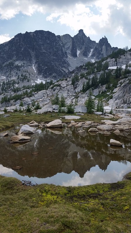
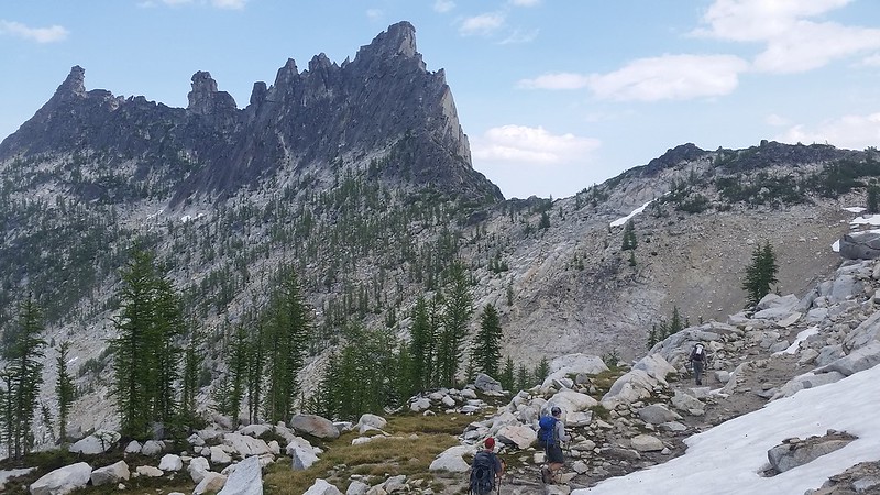
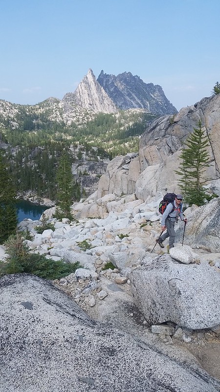
We cruised past the long shallow unnamed tarn on the way back to Prusik Pass, but thick clouds of mosquitos discouraged a lengthy visit. We stopped at a few opportune points along the way to study the West Face of Prusik Peak, and discuss the route for Thursday's climb.
Comments
No comments posted yet.
