Decision time
![Nevado Huarancante from the west, high in Quebrada Achacullo]() The one that popped into view
The one that popped into viewI'm on a hiking trip, getting acclimatized so I can go and climb some higher mountains, starting with
Misti.
This is the penultimate day and I'm somewhere around 4900m, looking for a camp site - and then this mountain pops into view! Looking at my map (IGN map Chivay (Series
J631, sheet
2539(32-s)), scale 1:100.000), I see that it's called Nevado Huarancante. It's pretty close. The map gives no precise summit location and no altitude, and at first I misread the contour lines and think it's just above 5200m. That would be easy!
For tomorrow, I was planning a short hike back to the road and hitch a ride or catch a bus back to Arequipa and arrive there late afternoon. This view makes me hesitate - should I try climbing it tomorrow? I know it's too low to be a glacier, so it's only snow, left over from the rainy season that must have ended well over a month ago. No crevasse danger. If the snow is soft enough, it should be possible to get up there without crampons.
I'm thinking about it, but am already leaning towards not doing it. It will surely take a few extra hours, meaning I will not get to Arequipa until very late, or even the next day. I rather prefer to be there earlier, so I can organize going to Misti straight away.
As I take a closer look at the map, I notice that the summit is just above 5400m instead of 5200m. That clinches it. It would take much longer, especially with that snow. I'm not going for it - perhaps some other time.
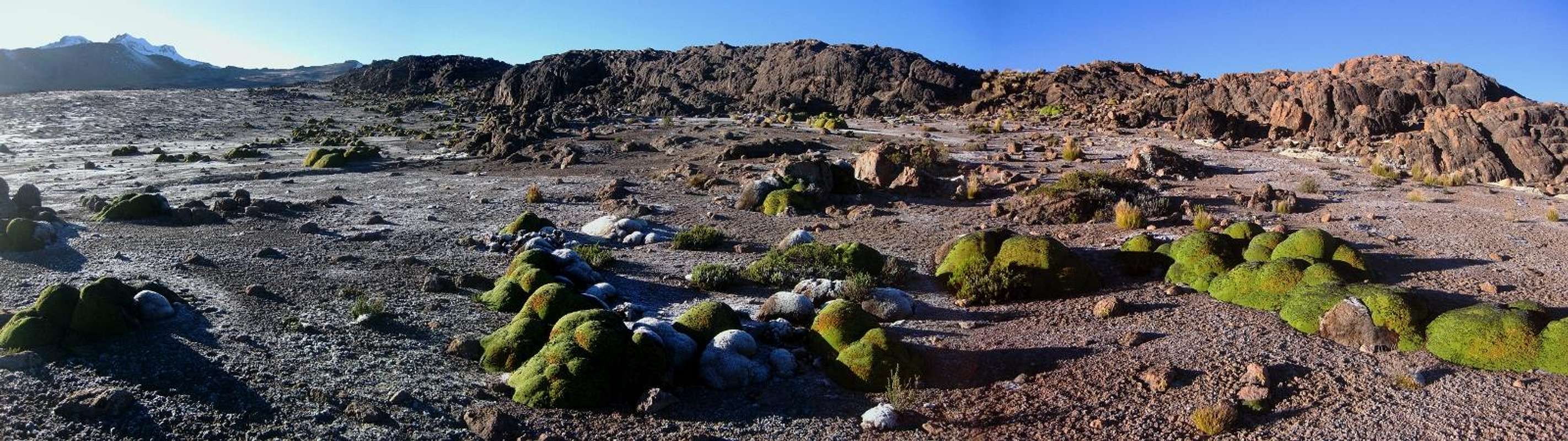
![]()
Panorama of the badlands around my camp site - west of Nevado Huarancante and north west of Nevado Chucura
Getting rewarded
![Rime on my tent, early in the morning]() Rime on my tent, early in the morning
Rime on my tent, early in the morningAlthough it would have been an adventure to climb a mountain on sight, without having any beta on it, the next day I feel very comfortable about my decision. I get up around sunrise and take it easy while having breakfast and breaking camp. Plenty of time today.
On my way back to the road, there is an interesting challenge: my map of the area is the best there is, but the small print says that it's based on areal photography from 1955. And I know that the main road that I'm aiming for is not where the map says it is. I know more or less where it has to be - not only because the terrain only allows so much options, but also because, from the high ground of my camp site, I can actually see part of it further north. However, I reckon it's shorter if I go roughly west, and no matter how far it will prove to be, I cannot possibly miss it.
While skirting the north west ridge of Nevado Chucura, I see wetlands further west. I'm not worried that it would be too wet, but if I would descend there, I would have to go up again, so I go around them, a little bit further south. And all the way I'm treated to splendid views of mighty snow capped volcanos, and I'm thinking, "wouldn't it be nice to climb those?".
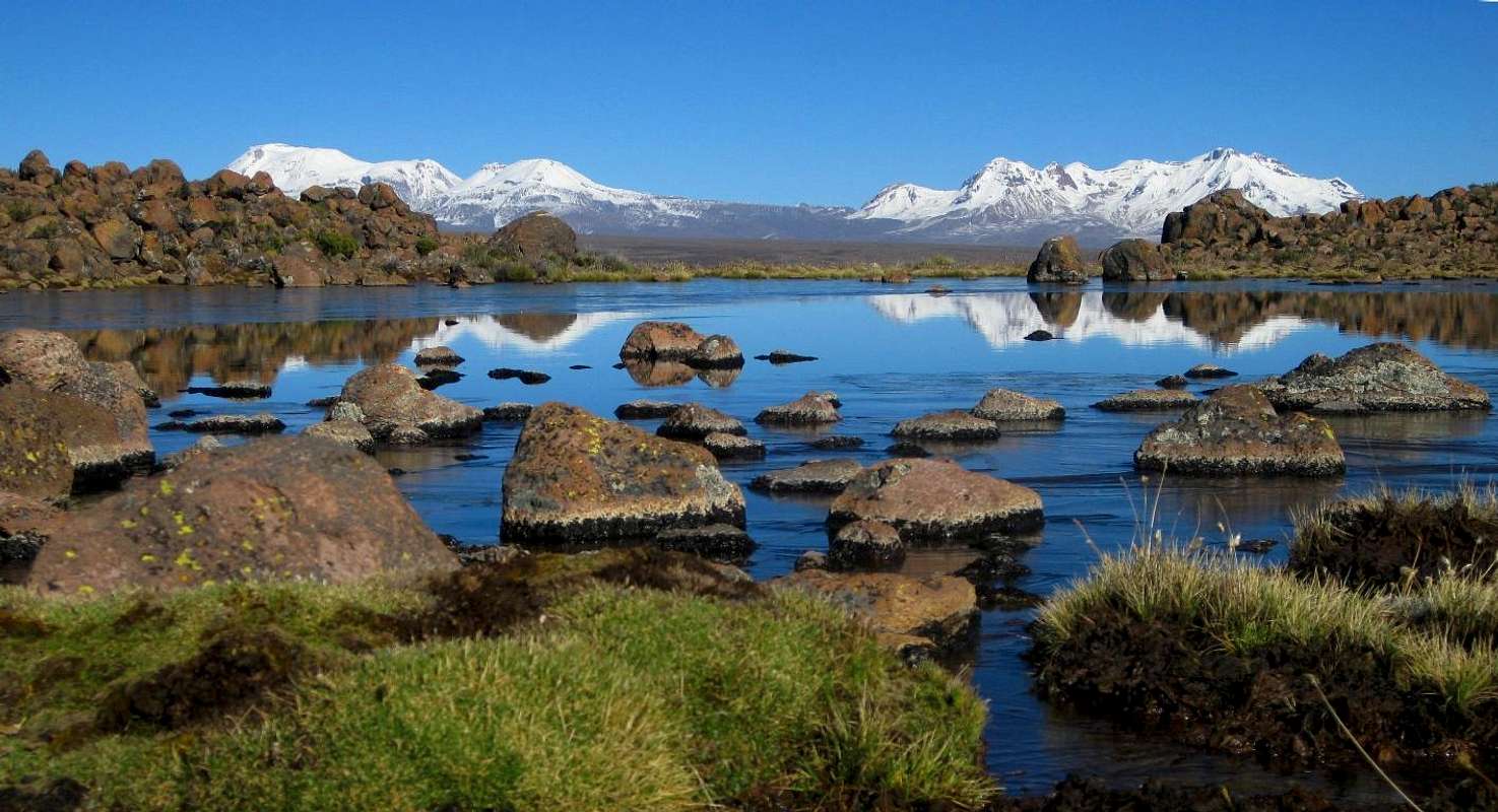
![Scenery]()
My reward: great views of Nevado Ampato, Volcán Sabancaya and Nevado Hualca Hualca
Comments
No comments posted yet.