-
 1513 Hits
-
 78.27% Score
-
 9 Votes
|
|
Mountain/Rock |
|---|---|
|
|
Hiking |
|
|
Spring, Summer, Fall |
|
|
6654 ft / 2028 m |
|
|
Overview
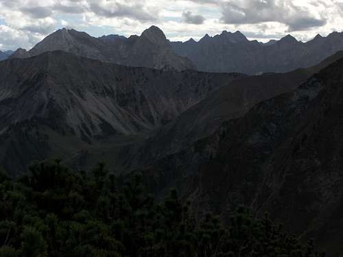
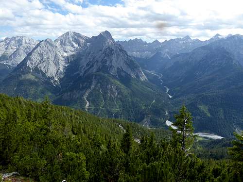
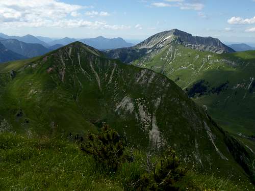
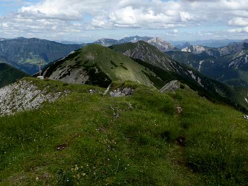
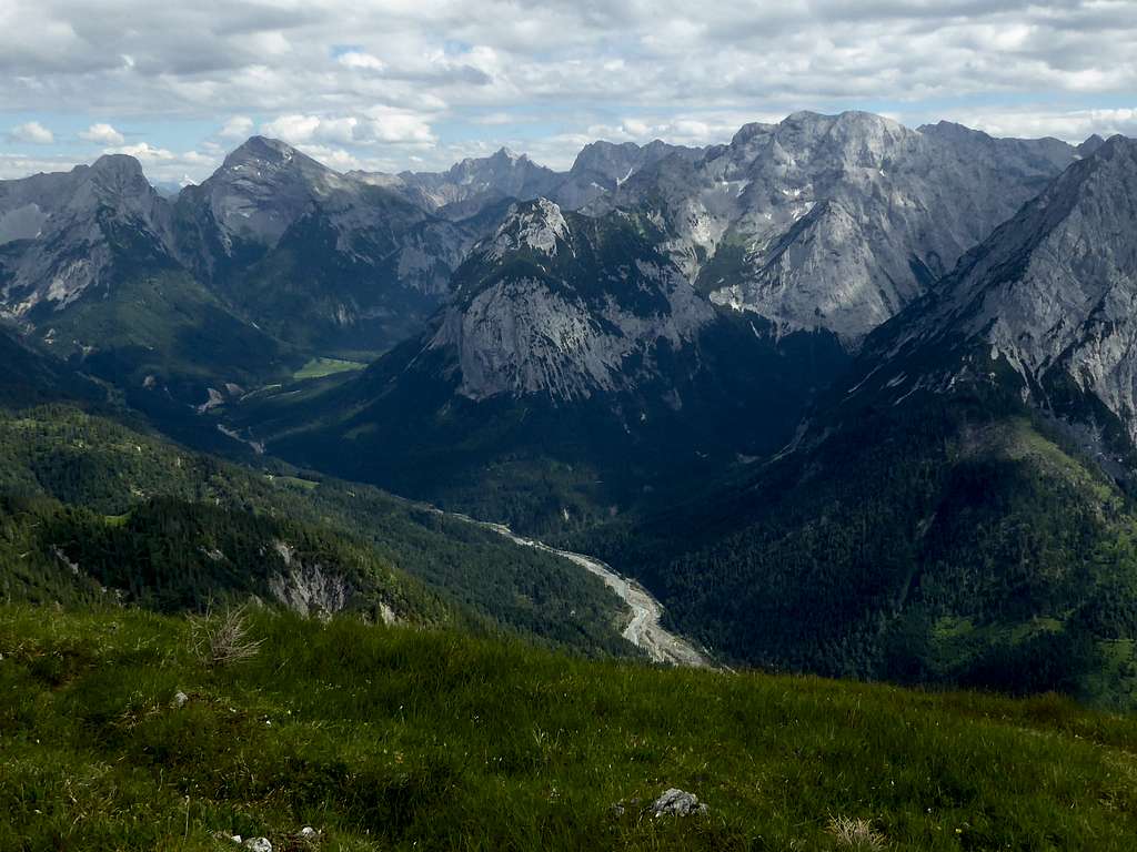
Between Schafreiter to the west and Montscheinspitze to the east, Fleischbank ist the highest peak of this Pre – Karwendel areas. Located between Schöntaljoch to the west and Hölzlestaljoch to the east, Fleischbank is one of those summits standing high above Rißbach valley and offering striking views on the main Karwendel ranges and their dominating northern rock faces.
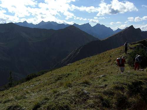
Easily accessible from Rißbach valley P 4 parking area, Fleischbank is more often summited than the neighbour peaks. I recommend the traverse routes: Tölzer hut to Plumsjoch hut (two nights required) offer Schöntaljoch, Fleischbank, Hölzlestaljoch, Grasberg and Kompar summits for peak baggers and those who like easy traverses with great views. For the one day hiker the traverse Grasberg – Hölzlestaljoch and Fleischbank offers a more than satisfying outing.
The denomination Fleischbank, butchers stall, is a brain teaser. It appears on the first topografic maps of the year 1770. I didn´t found anything fitting in the world wide web. Some people think cows on their search for fresh gras tumbled down the northern rock faces of the mountain and were found dead like being butchered. A feeble tale to me. There exist another Fleischbank in Tirol, part of the Kaisergebirge and a famous and well known climbers outing. No chance a cow would tumble down these rockfaces as it would not be able to climb up high enough ......
Getting There
Best trailheads are two parking areas of Rißbach valley:
- Parking area P4 “Johannestal” and
- Parking area in front of the bridge above Rißbach, called Kreuzbrücke
You reach Rißbach / Eng valley on road B 13 coming from Munich, Bad Tölz and Lenggries or on road B 307 coming from Tegernsee valley. Both roads unite at Sylvenstein dammed lake. Pass by Fall village and arrive at Vorderriß.
The approach from Innsbruck or Garmisch-Partenkirchen area is done by going on road number B 2 to Krün and on B 11 to Wallgau. Take the toll road from Wallgau to Vorderriß.
From Vorderriß proceed on Rißtal Landesstraße to Hinterriß and to the toll station. After the toll station you reach first parking area P 4 and then the parking area Kreuzbrücke in front of the bridge, where Rißtal Landesstraße changes from the north to the south side of Rißbach creek.
Public transportation
The next railway station is Lenggries. Bus number 9569 goes from Lenggries into Rißbach / Eng valley. There is a bus stop at parking area P4 and at parking area Kreuzbrücke
Routes Overview
Routes Overview
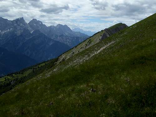
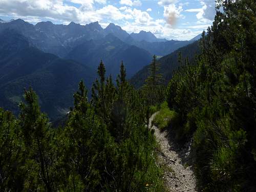
Best trailhead for Fleischbank is parking area P 4 at the entrance of Johannestal. Go back shortly on the road and turn right on a trail in front of an Alm hut. This trail zigzags up to the connecting ridge Fleischbank - Schöntaljoch where it meets the traverse trail Tölzer Hütte - Plumsjochhütte.
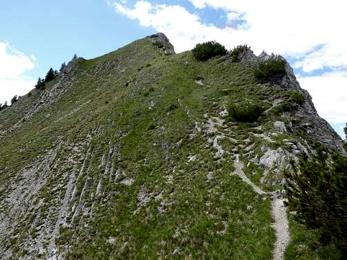
Turn right on this trail and left on the west ridge trail to Fleischbank.
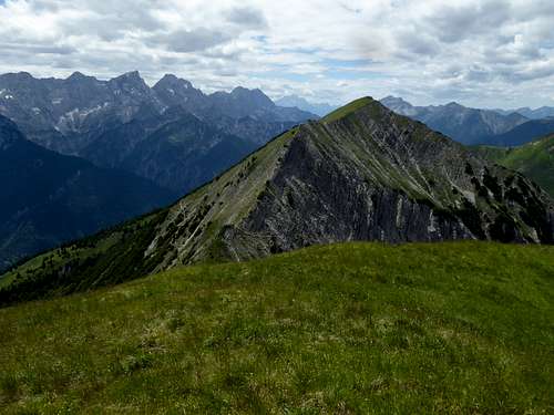
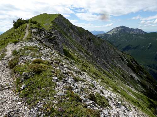
Descend on the east ridge over some easy rocks to the col between Fleischhbank and Hölzlestaljoch.
From there you can
- either follow the ridge trails to Hölzlestaljoch and Grasberg and descend via Grasber east ricge to Grasber joch and parking area Kreuzbrücke.The toll road links the two parking areas, allow a 30 minutes foot walk between the two trailheads.
- or traverse the two eastern summits on the traverse trail on their south slopes and descend via Grasbergjoch and parking area Kreuzbrücke
- or return on the traverse trail to your ascent route.
Red Tape & Accommodation
Fleischbank is part of the “Alpenpark Karwendel”, an important and strictly protected national park. There is no entrance fee for the park but many regulations to follow. There is a National Park Information Center at Hinterriß. Information panels, starting at the parking area of Engalmen, show some interesting features of the Alpenpark Karwendel.
You find accommodation at
Camping and Caravans / Motor homes are not allowed within the Alpenpark Karwendel; there are heavy fines!
Gear & Mountain Condition
Fleischbank is a hiking mountain, accessible from late spring to late autumn, depending on the arrival of the first heavier snow falls. Thus hiking gear is sufficient.
Fleischbank east ridge require somes easy rock scrambling as is the case if you do the whole traverse from Grasberg to Fleischbank with Hölzlestaljoch.
Weather
Maps
DAV map, scale 1 : 25000
number BY12, Karwendelgebirge Nord, Schafreiter
edition 2018, UTM grid, trails and ski / snow shoe routes
Landesamt für Digitalisierung, Breitband und Vermessung, scale 1 : 50000
number LDBV UK 50-51 Umgebungskarte, Karwendel,
edition 2019, UTM grid, trails


