From A5 Morgex toll drive along the SS.26 toward Courmayeur, cross it and once in Entréves follow for the Village La Palud - car parking car parking - Funivies of the Monte Bianco.
Dall'uscita dell'Autostrada A5 nel comune di Morgex (921 m) proseguire lungo la SS.26, verso il Paese di Courmayeur (1.228 m) e, raggiunta la Frazione di Entrèves/La Palud (1.370 m), parcheggiare l'auto nel parcheggio delle "Funivie del Monte Bianco".
Route
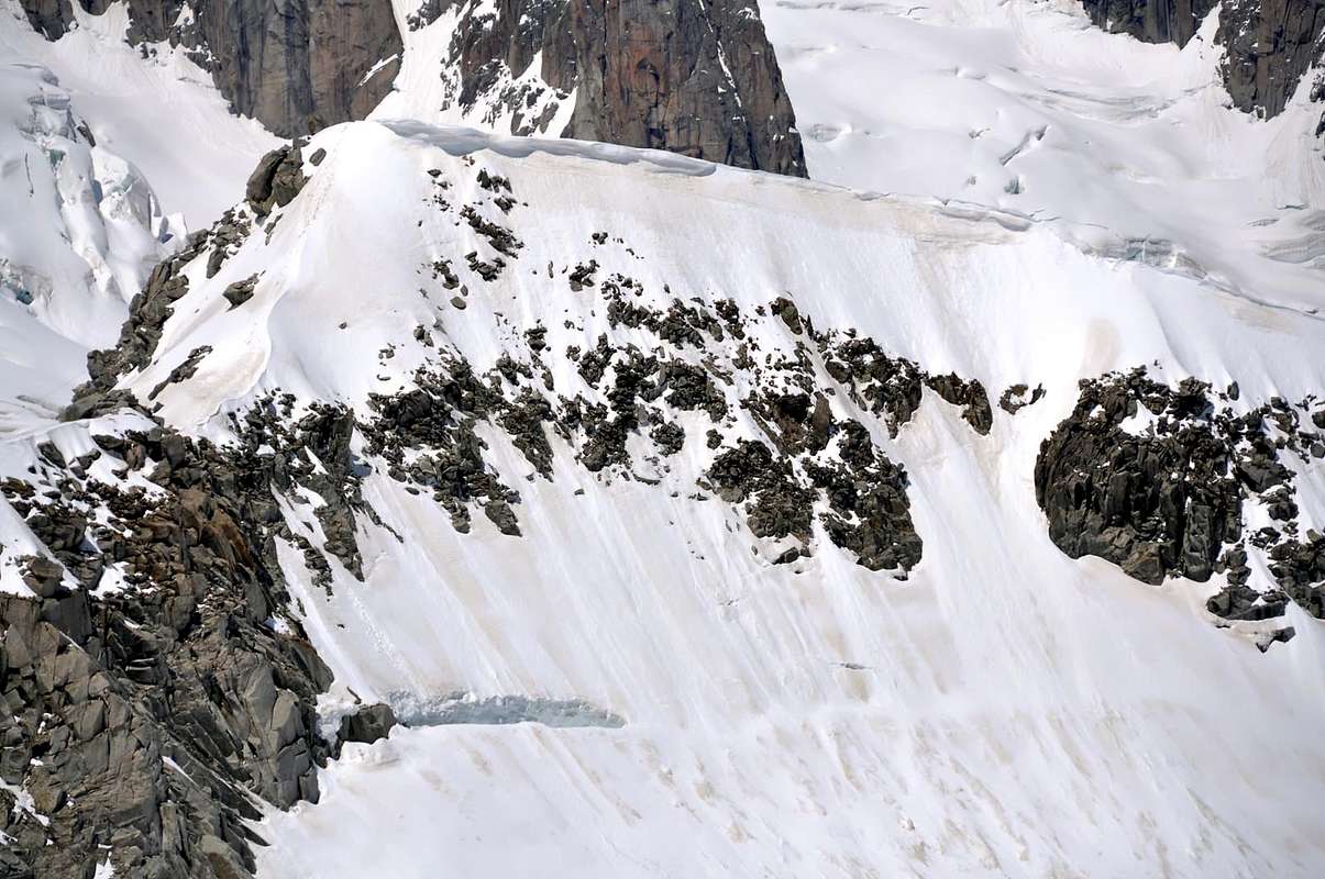
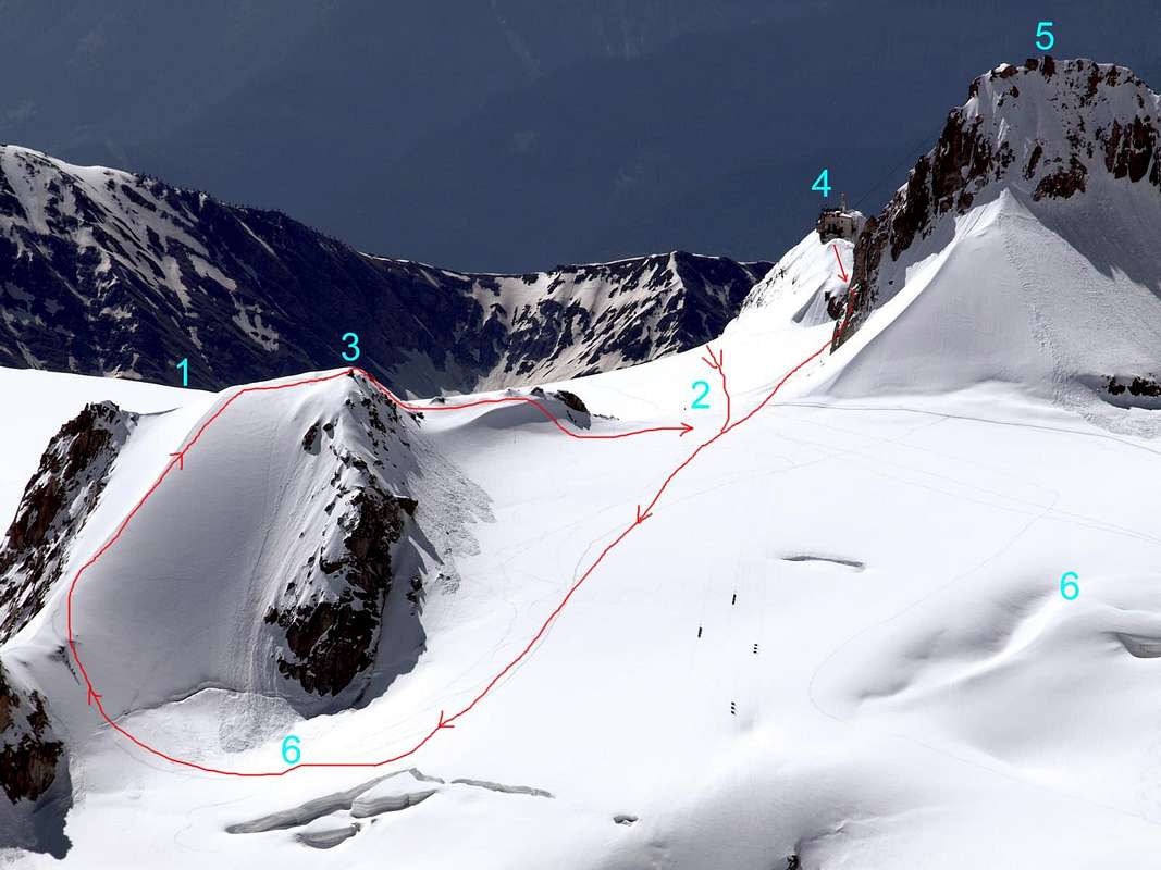
From Rifugio Torino or from the Punta Helbronner station "the Italian door to Vallèe Blanche and Mont Blanc massif", (from La Palud of Entreves, via the the Monte Bianco cable car), go up until Colle Flambeau, then go down again immediately after to the small saddle between the rocky and snowy ridges. Follow the crest of the beautiful snowy ridge for around one hundred meters on a pleasant and elegant route. The route is classified PD+. The descent is along the ascent route or--shorter--along the south slope.
Dai Rifugi Torino al Colle del Gigante o dalla Punta Helbronner, "porta d'ingresso" italiana alla Vallée Blanche ed al massiccio del Monte Bianco (raggiungibile dalla frazione La Palud di Entreves, con le funivie del Monte Bianco), risalire fino al Colle Flambeau per poi ridiscendere subito dopo fino alla "selletta" posta tra la cresta rocciosa e nevosa. Salire la bella crestina nevosa per circa un centinaio di metri con percorso piacevole ed elegante. La salita è classificata PD+. La discesa si effettua lungo la via di salita oppure con percorso più breve lungo il versante sud.
Difficulty
Difficulty: PD+.
Difficoltà: PD+.
Essential Gear
Mountaineering equipment, including rope, iceaxe, and crampons.
Da alta montagna, corda, picozza e ramponi.
When To Climb
The period from mid June to mid September usually offers the best conditions. The rock climbs would be substantially more challenging off season.
Huts
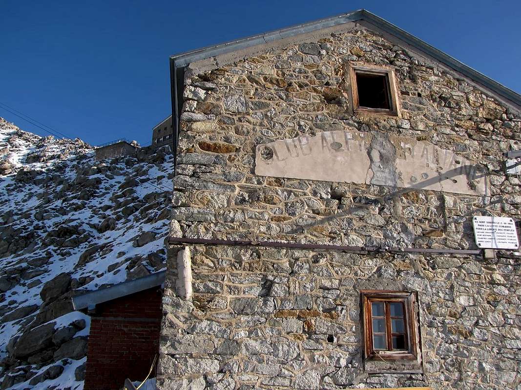
Rifugio Torino (3.329-3.375m) Tel.: Nuovo numero telefonico +39 3402270121 Cell. Gestore +39 3356184758 Funivie Monte Bianco +39 016589925
Red Tape
No permits are required and no fees must be paid to climb Petit Flambeau. Since it is on the Italian-French border, carry some means of identification.
Campings
Remember that free camping is forbidden (except for emergency reasons, over 2.500m, from darkness until dawn).
Mountain Conditions
You can get meteo information at the official site of the Regione Valle d'Aosta:
Parents refers to a larger category under which an object falls. For example, theAconcagua mountain page has the 'Aconcagua Group' and the 'Seven Summits' asparents and is a parent itself to many routes, photos, and Trip Reports.

 10525 Hits
 81.69% Score
 14 Votes