
-
 1924 Hits
-
 75.81% Score
-
 6 Votes
|
|
Route |
|---|---|
|
|
39.10080°N / 105.5742°W |
|
|
Download GPX » View Route on Map |
|
|
Hiking |
|
|
Spring, Summer, Fall, Winter |
|
|
Less than two hours |
|
|
Overview
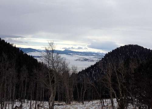
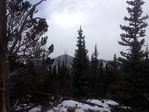
Views from the saddle
This is a nice, short and relatively straightforward off-trail ascent of a shapely little Puma Hills 11er. You may even find it more challenging to find the parking area than to actually hike to the summit! This pleasant stroll through the woods is a great outing to save for snow season, though autumn would surely be nice, as well.
For detailed route mapping and elevation profile, refer to the attached GPX file.
Roundtrip Distance: 2 miles
Elevation Gain: 1,500 feet
YDS Rating: Class 2
Bushwhack Grade: B1+Getting There

Driving Directions
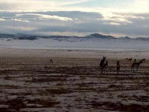
A little pronghorn action...
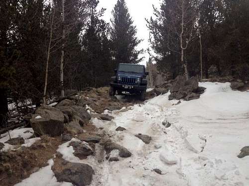
Forest service road driving
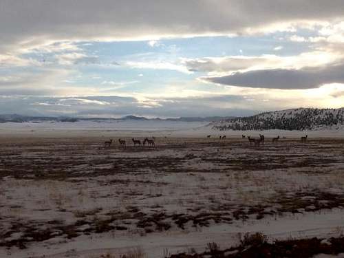
South Park Pronghorn
“Tenner Gulch Trailhead*”
*As identified in Colorado's Lost Creek Wilderness: Classic Summit Hikes by Gerry Roach & Jennifer Roach
· From west of Wilkerson Pass, find CR 23 (Turner Gulch Road)
· Turn east on CR 44/FSR 44 (toward Las Salle Pass)
· Head North on FSR 44
· Stay left at the fork on FSR 44 (signs here become missing / confusing)
· Continue to the second left that may be marked as FS 442D.
· Proceed up the road to a small opening in an aspen grove at the base of a gully to park and begin your ascent.
You will definitely want 4x4 after entering the Forest Service boundary.
Route Description
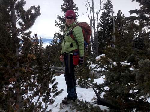
On the summit
· From the 4x4 parking area in the aspen meadow, head northeast along the gully. It is not necessary to hike in the gulley – I found the easiest going to be on the left side of the gully following a game or use path.
· Continue roughly ½ mile to a gentle saddle below the peak.
· Turn northwest up the slopes of Martland Peak.
· The going gets occasionally steep (steep enough to be pretty slick in the snow), and you’ll need to negotiate around rocks and trees, but otherwise the ascent should be uneventful.
· Once the slope relents, you are close to the rocky summit. Scamper to the top and enjoy the views of surrounding peaks plus South Park! Above the steepest | 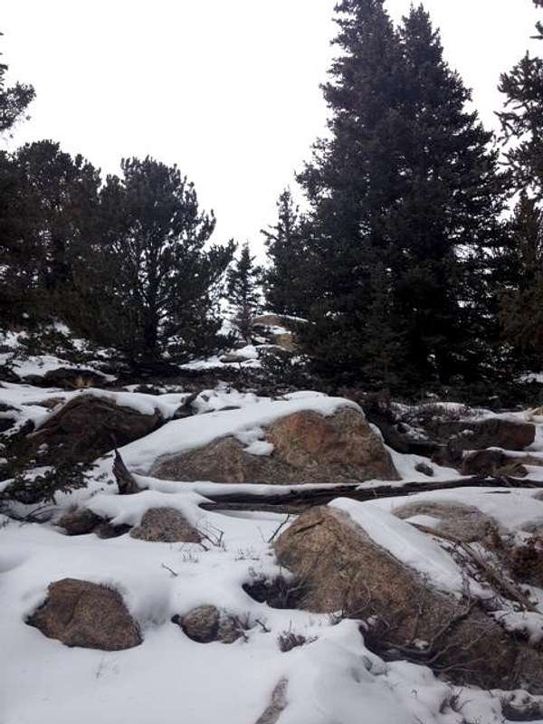 Rocks near summit | 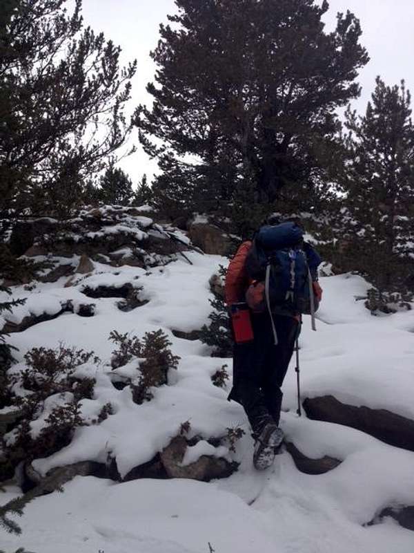 Through the rocks | 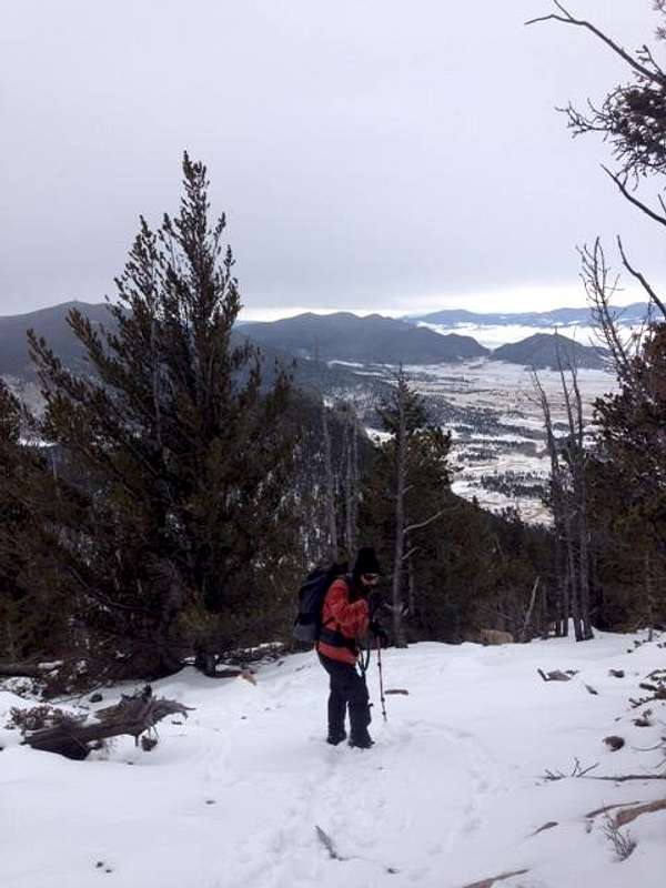 Starting descent |
Essential Gear
Neighboring peaks
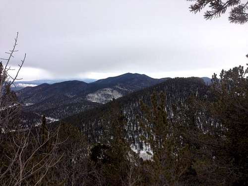
Badger Mountain
•Comfortable hiking boots or shoes
•Outerwear appropriate to the season
•Snowshoes for flotation in snow season
•Water and snacks
•A camera to save memories of the high country views
•First aid kit
•Other standard backcountry essentials