Toggle navigation
Mountains
Routes
Images
Trip Reports
Forum
What's New
People
Areas & Ranges
Articles
Trailheads
Canyons
Huts & Campgrounds
Albums
Logistical Centers
Fact Sheets
Lists
Custom Objects
Gear
Plans & Partners
WELCOME TO SUMMITPOST
SIGN IN
REGISTER
Hochwanner
Additional Parents
The Grünstein loop
Image
Grünstein loop
View High-Resolution Image
Grünstein loop
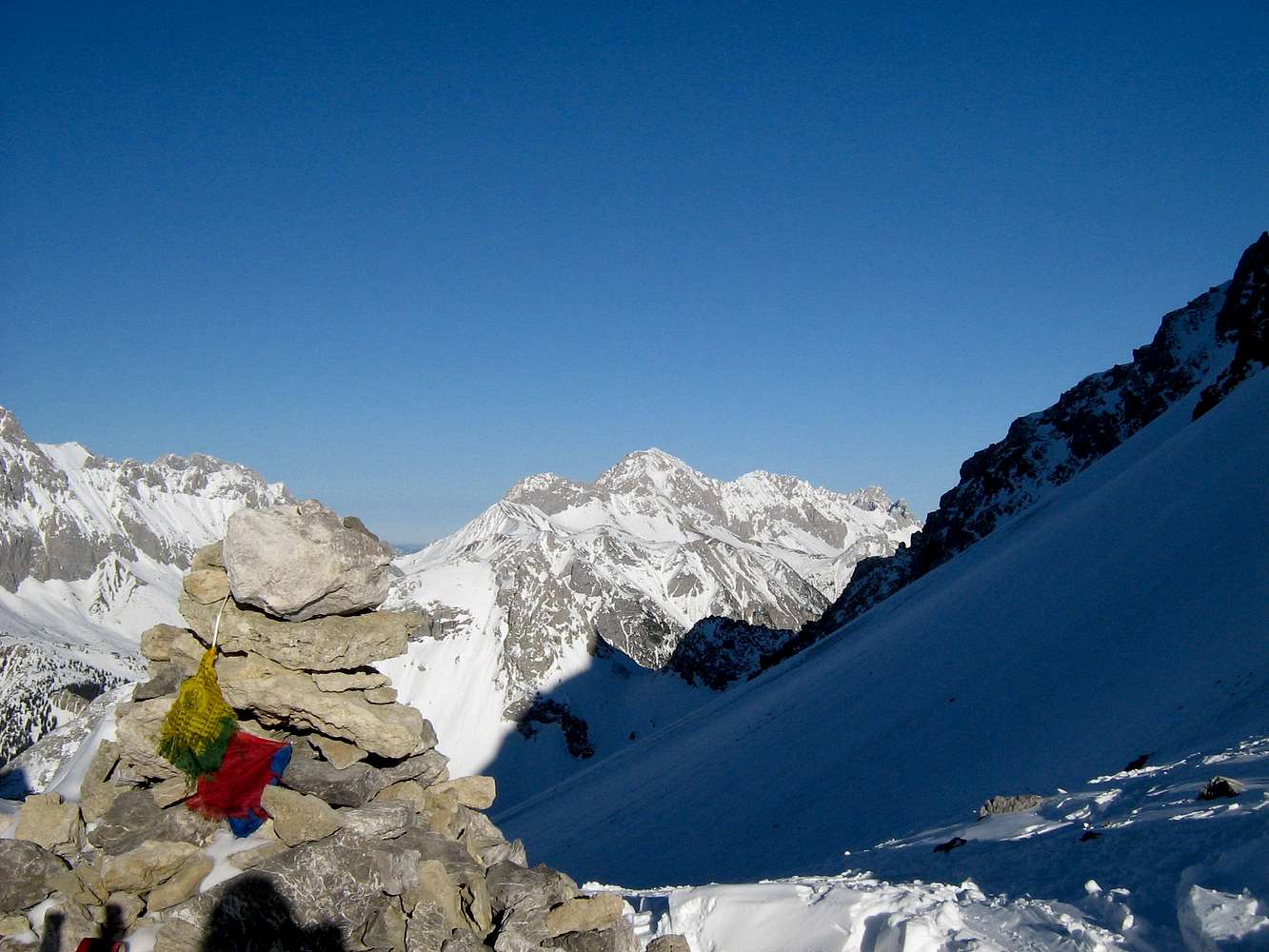
View from Thaja Törl to the Wetterstein range: Hochwanner and Leutascher Dreitorspitze (to the right).
« PREV
NEXT »
selinunte01
on
Dec 2, 2008 3:57 pm
Comments & voting
Other parents
Lat/Lon:
47.35557°N / 10.94856°E
Image Type(s):
Skiing
Image ID:
468167
2289 Hits
76.46
% Score
7
Votes
Log in to vote
Comments
No comments posted yet.
to post!
Don't have an account?
Hochwanner
(Mountain/Rock)
« PREV
Viewing
#9 of 24
GALLERY
NEXT »
selinunte01's Image Gallery
« PREV
Viewing
#359 of 5620
GALLERY
NEXT »
The Grünstein loop
(Route)
Loading....
×
You need to login in order to vote!
User Name
Password
Remember me
Forgot your password?
Log me out when I close my browser.
Keep me logged in all the time.
sign in as a user
Don't have an account?
Register now for FREE
Rating available
Suggested routes for you
People who climb the same things as you
Comments Available
Create Albums
Register Here


