


valizadeh - Jul 17, 2007 11:24 am - Voted 10/10
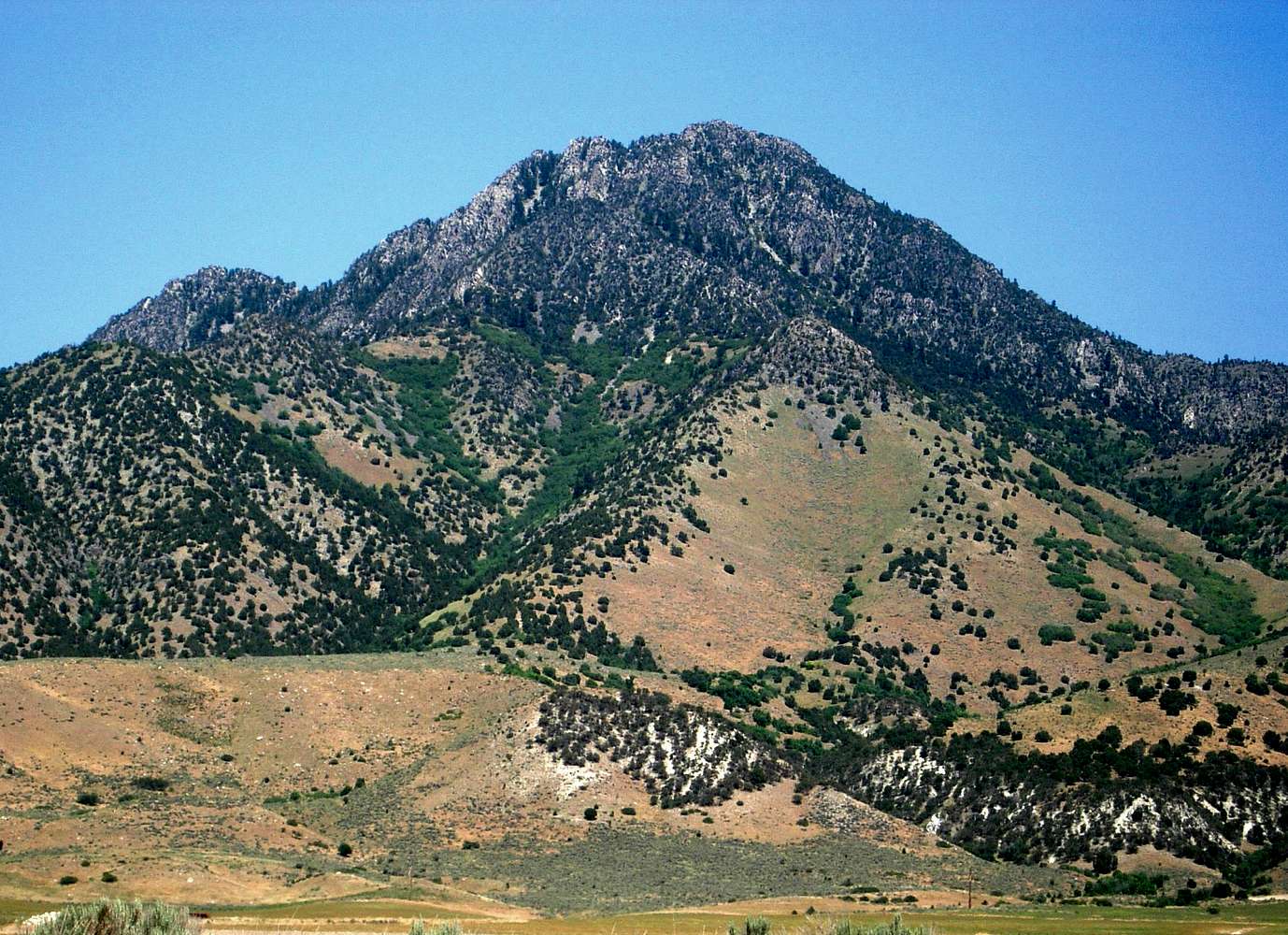
Well done!It is a very good idea to mark the climbing path.
I have always imagine this path before climbing,
Congratulations

mountaingazelle - Jul 17, 2007 12:33 pm - Hasn't voted
Re: Well done!Thank you. The route up this mountain is not obvious so it is helpful to show it in the photo.

Dean - Jul 30, 2007 1:43 pm - Voted 10/10
Another notch on yourGunsight. Amazing that I had just been looking at maps of this one and wanted to ask you what you knew about it. I was wondering if there were any access problems or how difficult a peak it was and how long it would take, etc....
Nice submission.
mountaingazelle - Jul 30, 2007 4:01 pm - Hasn't voted
Re: Another notch on yourThanks, Dean. This is one of the most direct routes up the mountain. I would rate this as steep class 2 with some scrambling. It takes half a day to climb the mountain if you live nearby. It will take most of a day if you have to drive a long distance to get there.
Access for this route is near the border of Northern Utah not far from Interstate 15. There is an exit near a gas station and a dirt road goes right below the west face. The views of Northern Utah from Gunsight Peak are very good.
I believe there is an easier route from the north up Elgrove Canyon. I’m not sure about access for this dirt road though. I will try that route later when the weather is cooler and the smoke from all the wildfires isn’t so bad.


Comments
Post a Comment