Toggle navigation
Mountains
Routes
Images
Trip Reports
Forum
What's New
People
Areas & Ranges
Articles
Trailheads
Canyons
Huts & Campgrounds
Albums
Logistical Centers
Fact Sheets
Lists
Custom Objects
Gear
Plans & Partners
WELCOME TO SUMMITPOST
SIGN IN
REGISTER
Bogs and Marshes
Additional Parents
Image
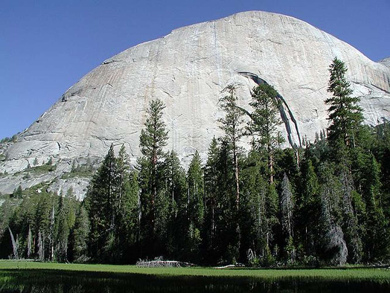
Half Dome's backside with...
View High-Resolution Image
Half Dome's backside with...
Half Dome's backside with Lost Lake (the grassy marsh) in the foreground on June 29, 2002. The approach trail to
Snake Dike
skirts the foreground in front of the lake heading left in the photo.
« PREV
NEXT »
John
on
Jul 1, 2002 10:42 pm
Comments & voting
Other parents
Lat/Lon:
37.74610°N / 119.5319°W
Image ID:
8165
7156 Hits
77.48
% Score
8
Votes
Log in to vote
Comments
No comments posted yet.
to post!
Don't have an account?
Bogs and Marshes
(Album)
« PREV
Viewing
#28 of 78
GALLERY
NEXT »
John's Image Gallery
« PREV
Viewing
#73 of 521
GALLERY
NEXT »
Half Dome
(Mountain/Rock)
Loading....
Snake Dike
(Route)
Loading....
×
You need to login in order to vote!
User Name
Password
Remember me
Forgot your password?
Log me out when I close my browser.
Keep me logged in all the time.
sign in as a user
Don't have an account?
Register now for FREE
Rating available
Suggested routes for you
People who climb the same things as you
Comments Available
Create Albums
Register Here


